BONAIRE

(Bonaire Flag)


(Bonaire Map)


WEDNESDAY, FEBRUARY 20, 2008:

All of the images below are thumbnails and can be clicked on for a larger image.

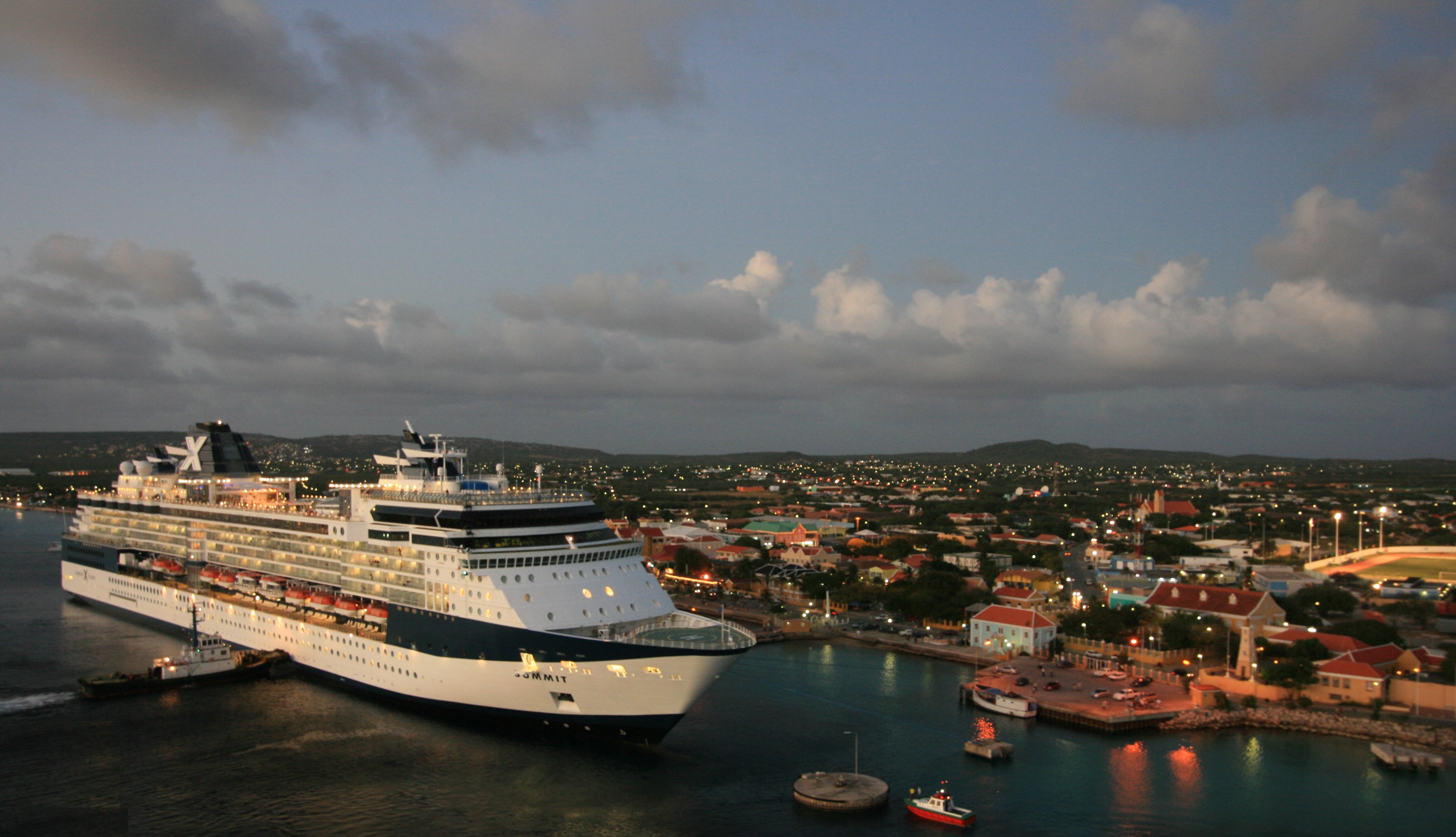
At 10:52am on Wednesday we arrived in Bonaire on a very warm, bright and sunny day.
Arriving in Bonaire Salt Dunes Slave Huts on Bonaire's Southwest coast

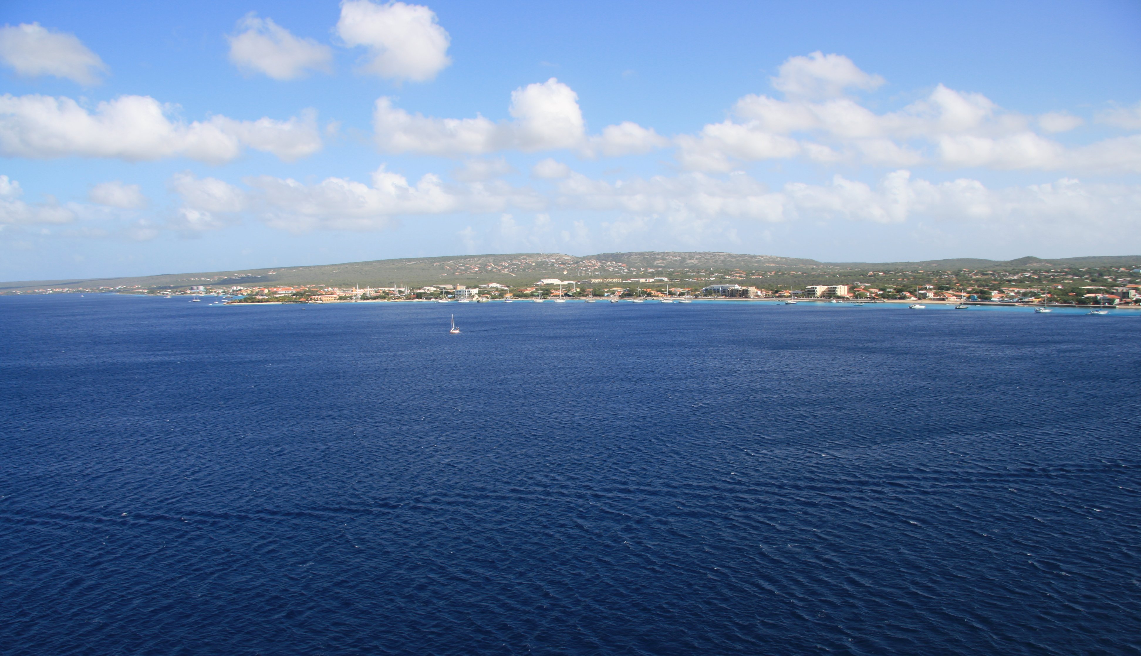
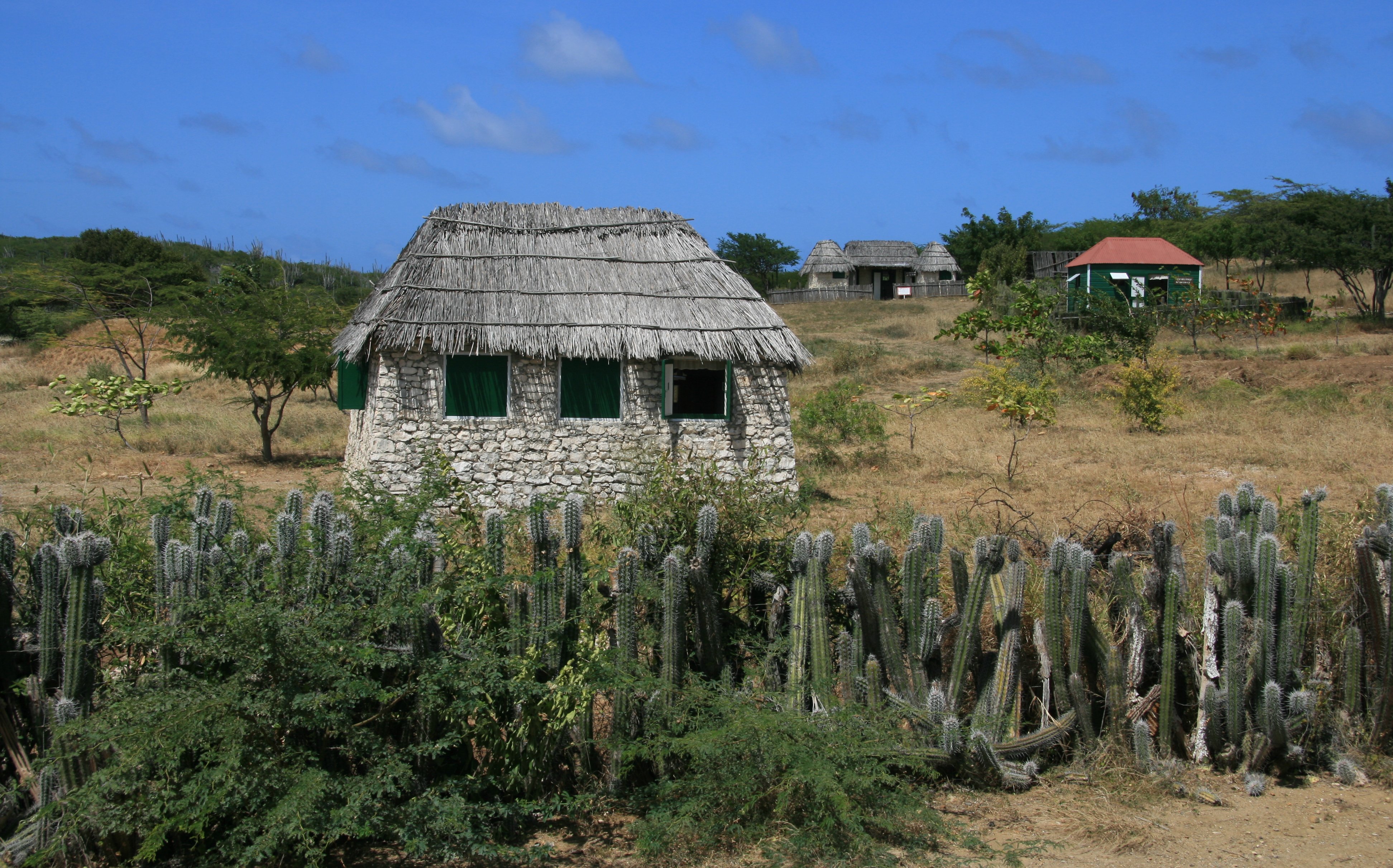
Bonaire is located off the coast of Venezuela and is part of the Netherlands Antilles.
The dry and arid landscape of Bonaire Gotomeer Lake Lizzards

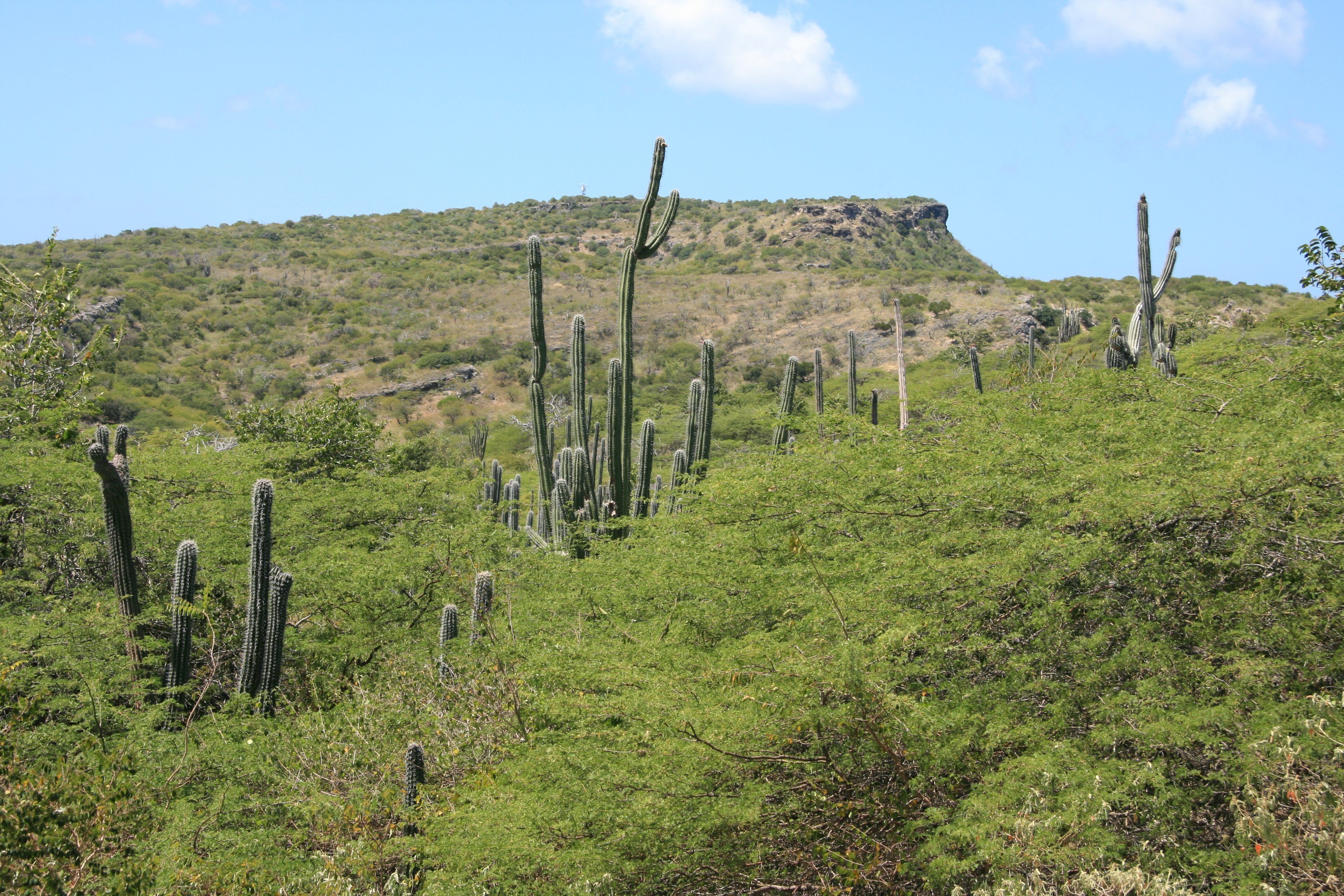
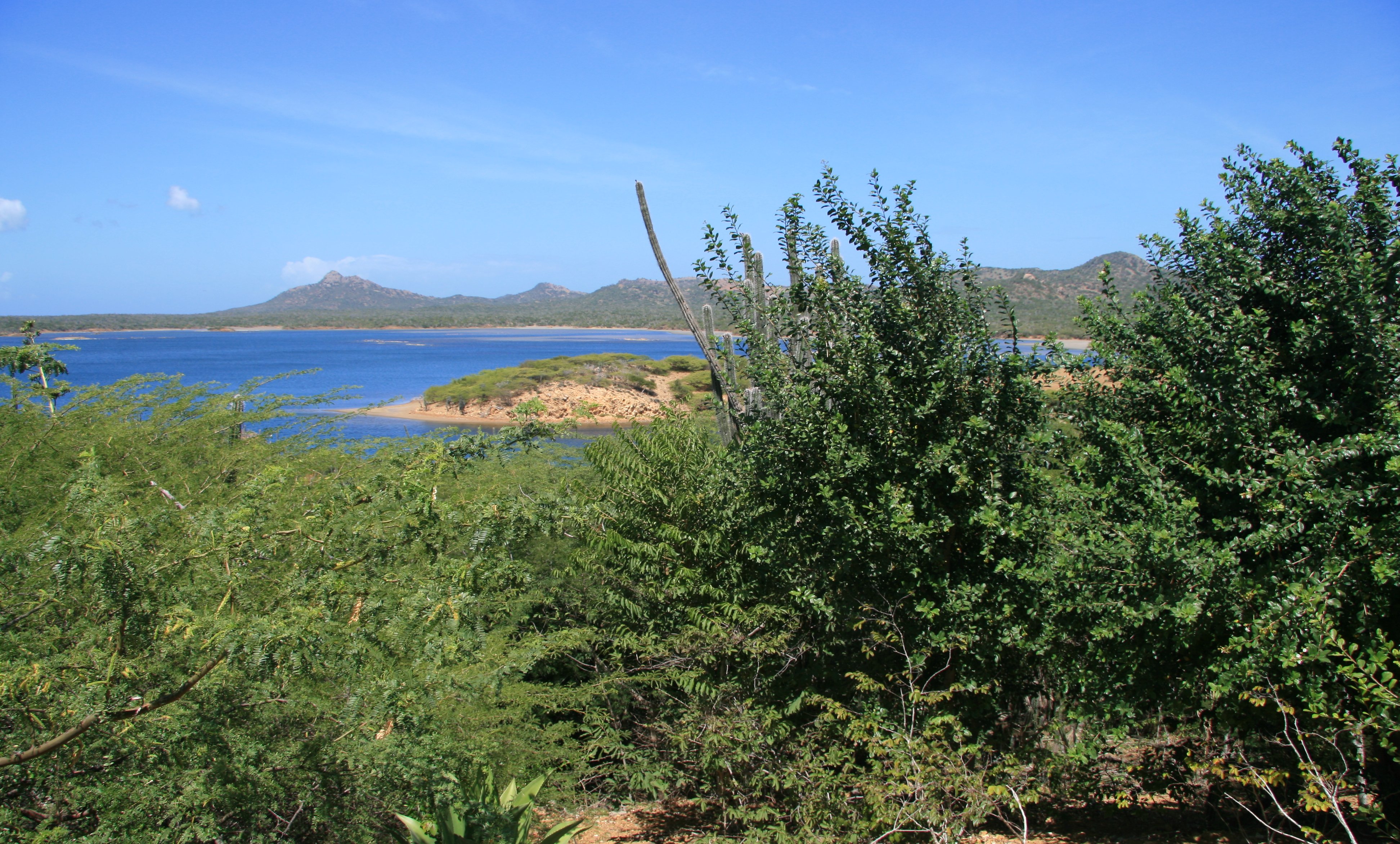
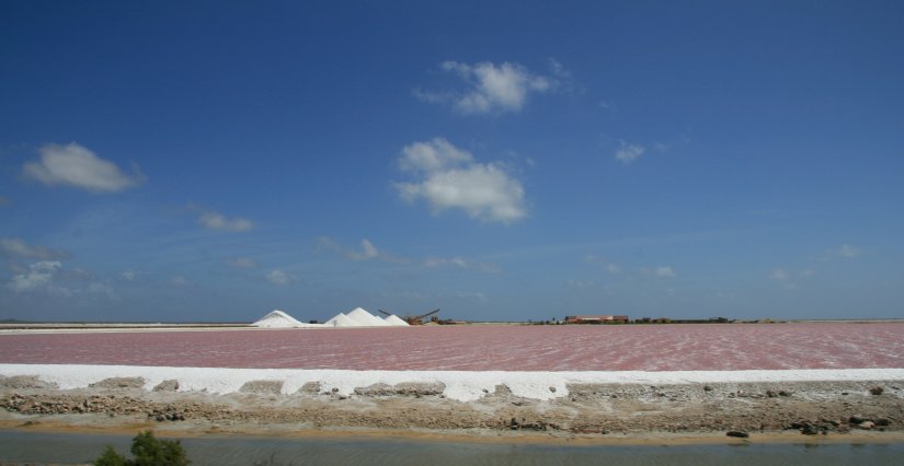
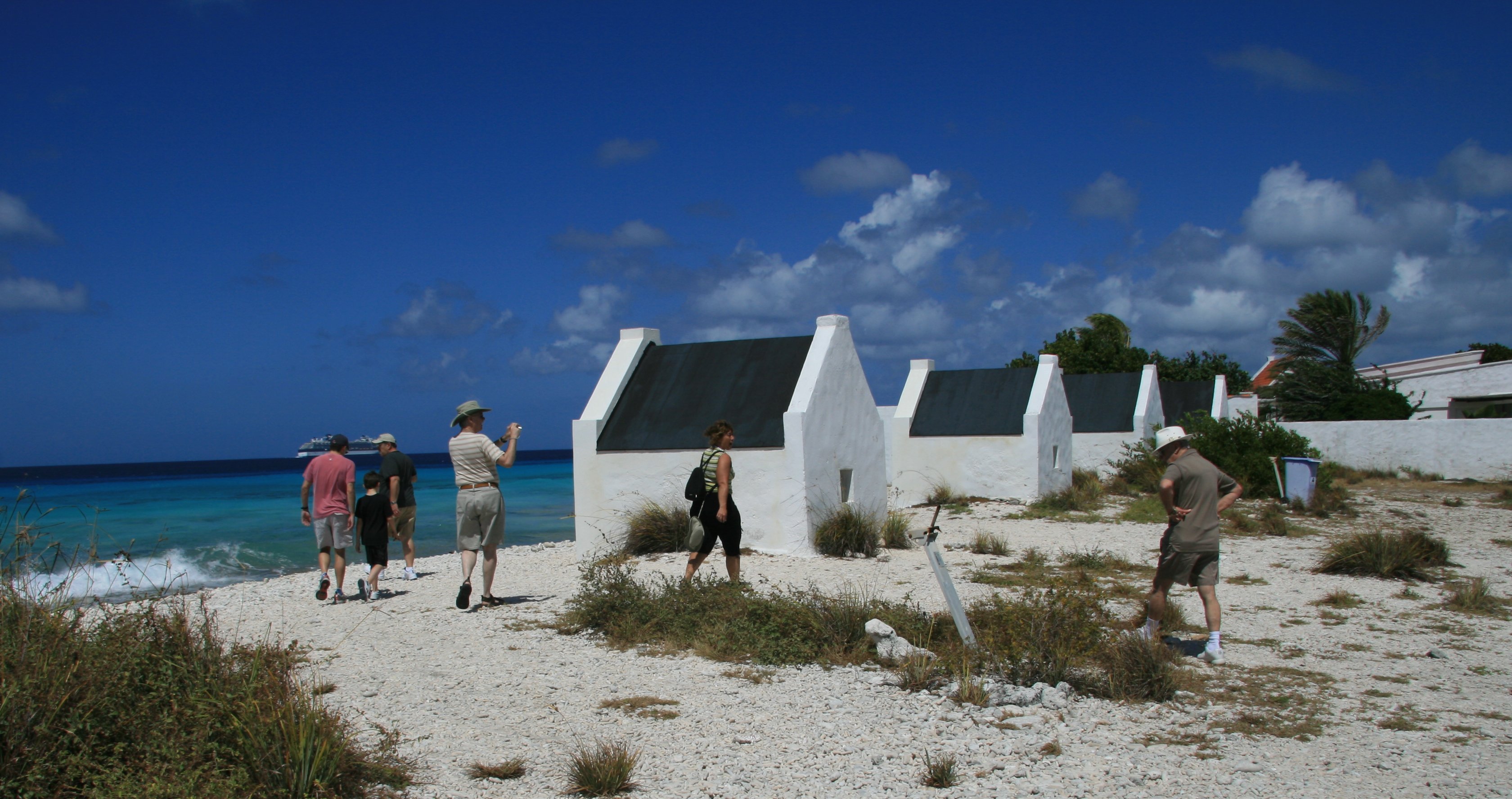
Bonaire has a land area of 111 square miles and a population of around 15,000.
Flamingos in Lake Gotomeer Donkeys roam wild in the interior of the island Washington Slagbaai National Park

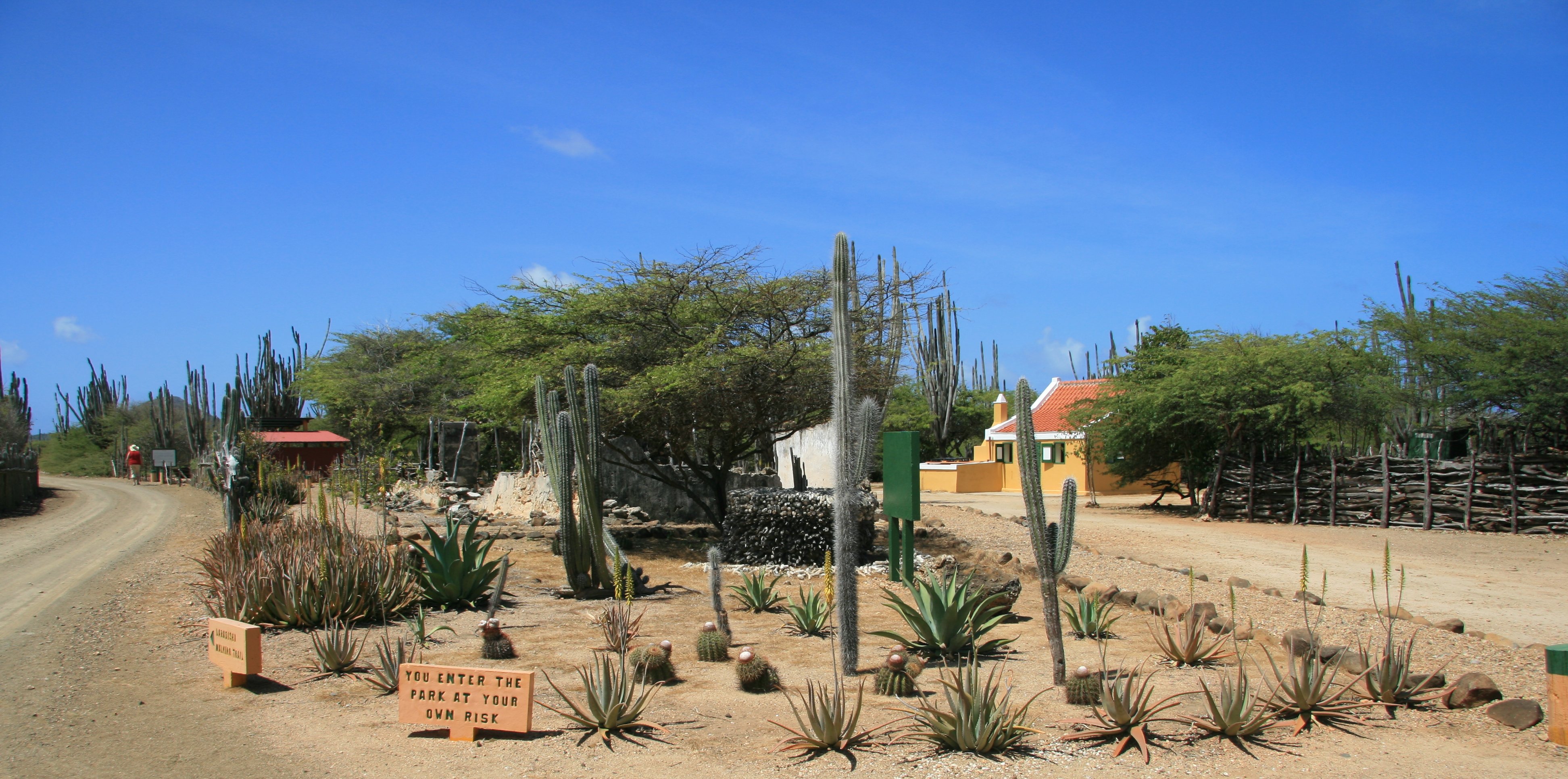
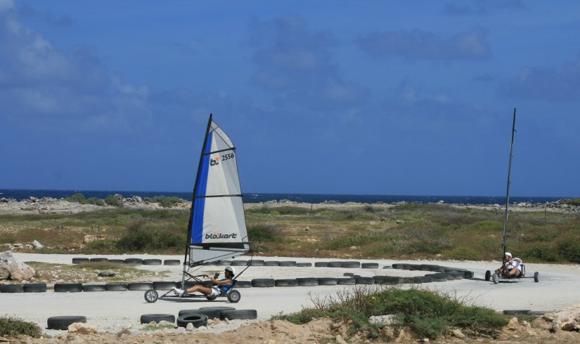
Bonaire is world renowned for its excellent scuba diving.
Bonaire Landsailing on Bonaire's east coast Above average Bonaire home

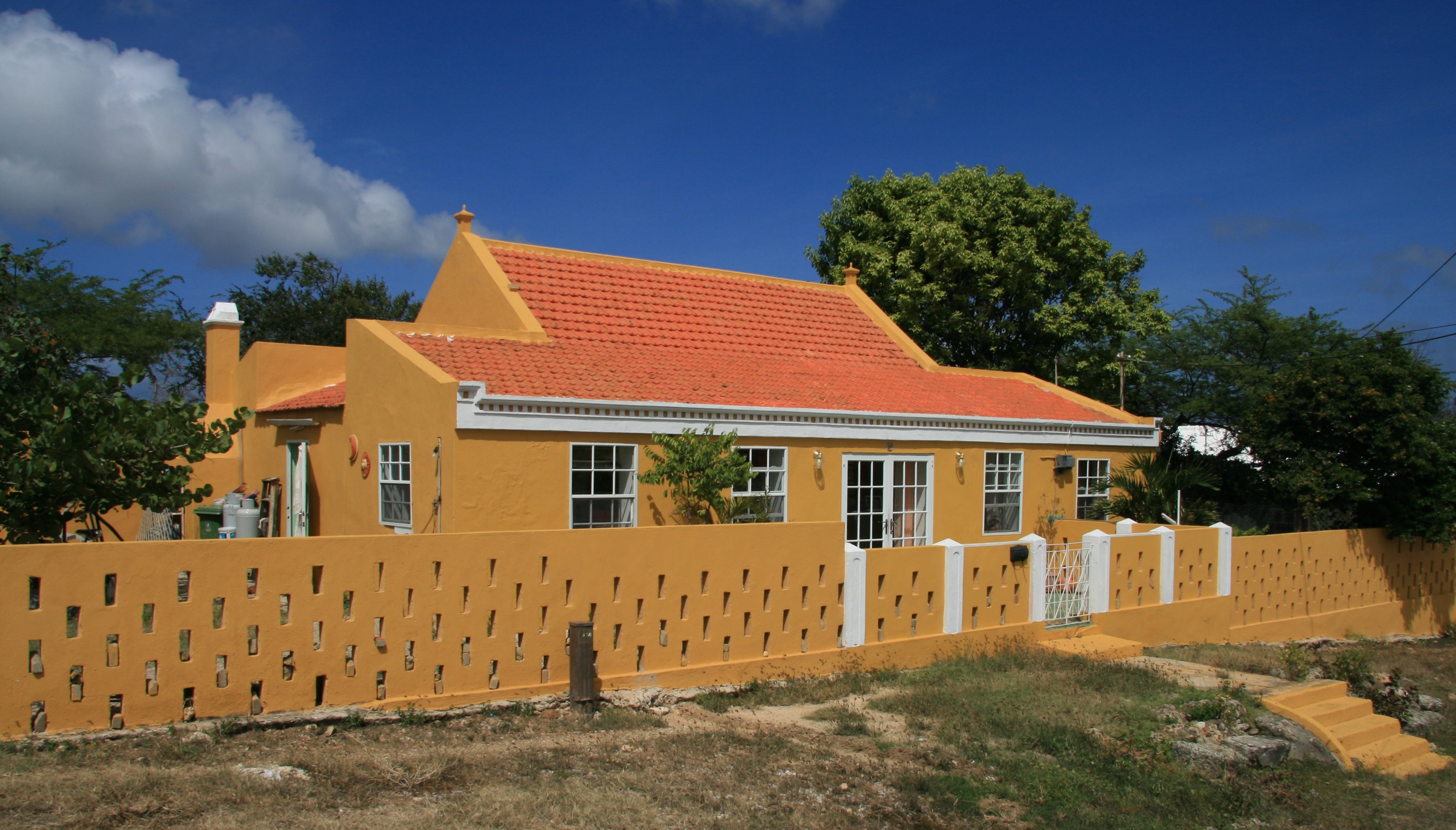
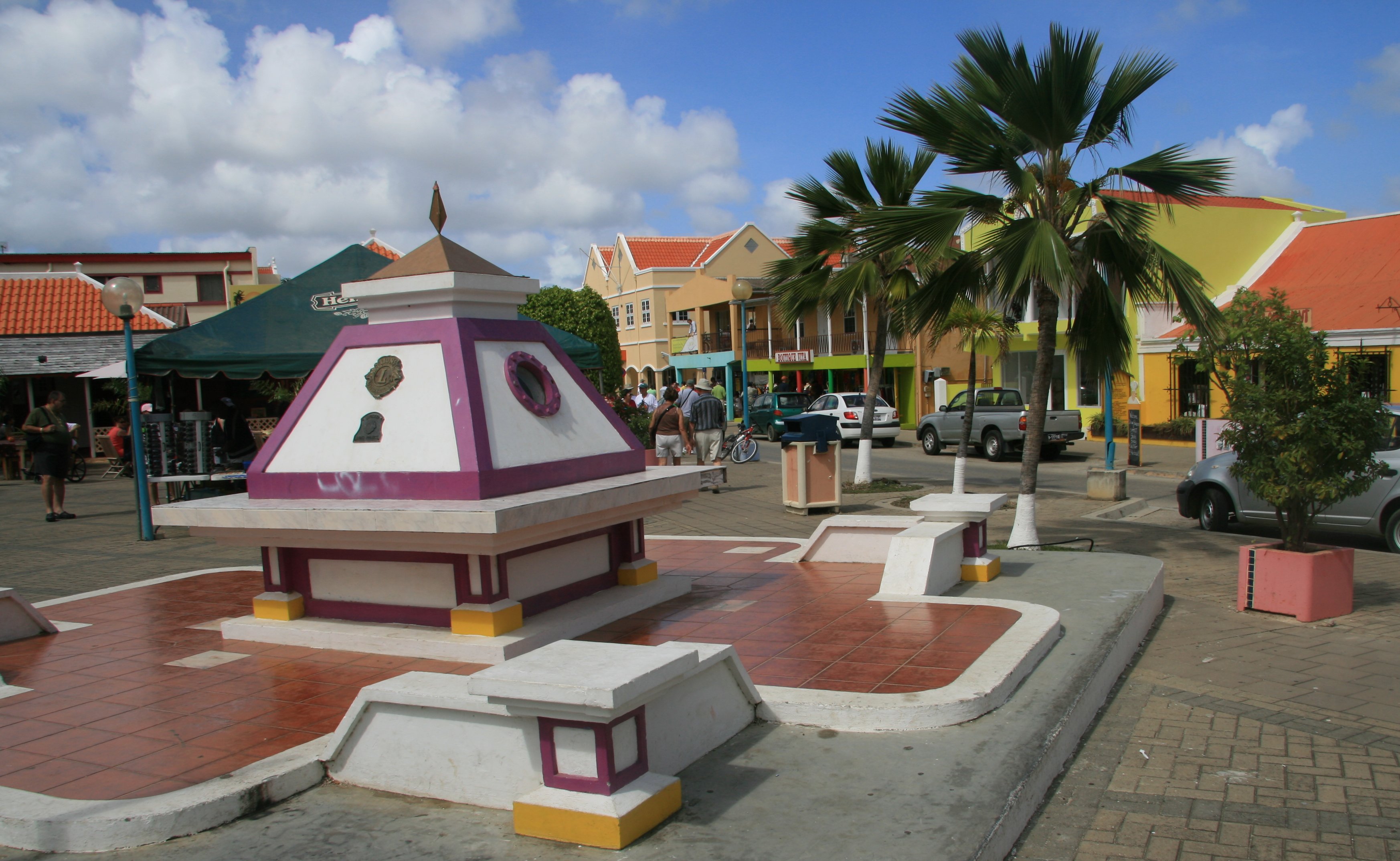
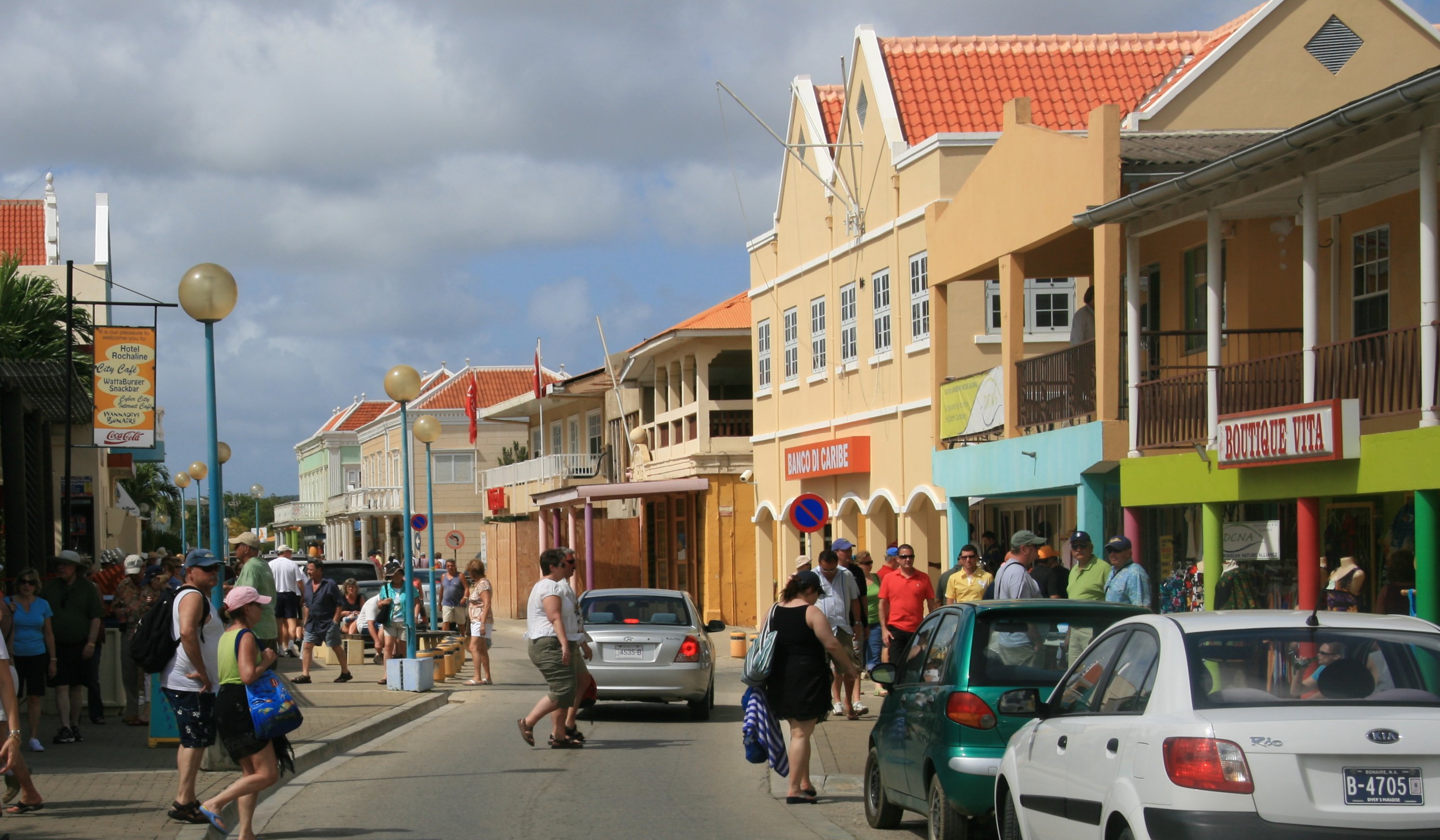
Kralendijk is the capitol and largest city on the island.
Downtown Kralendijk, Bonaire's capitol city Downtown Kralendijk, Bonaire's capitol city The sun sets just prior to our departure

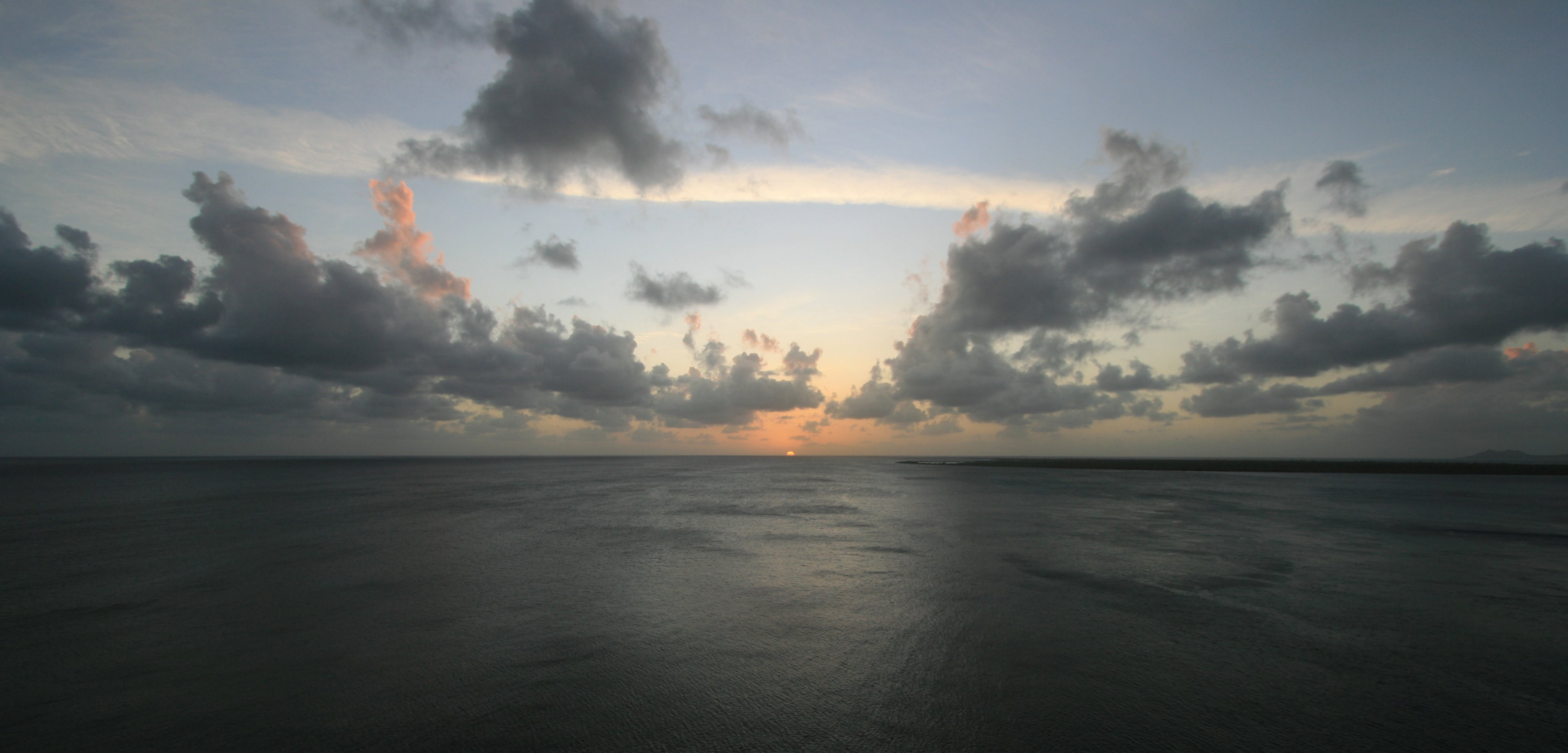
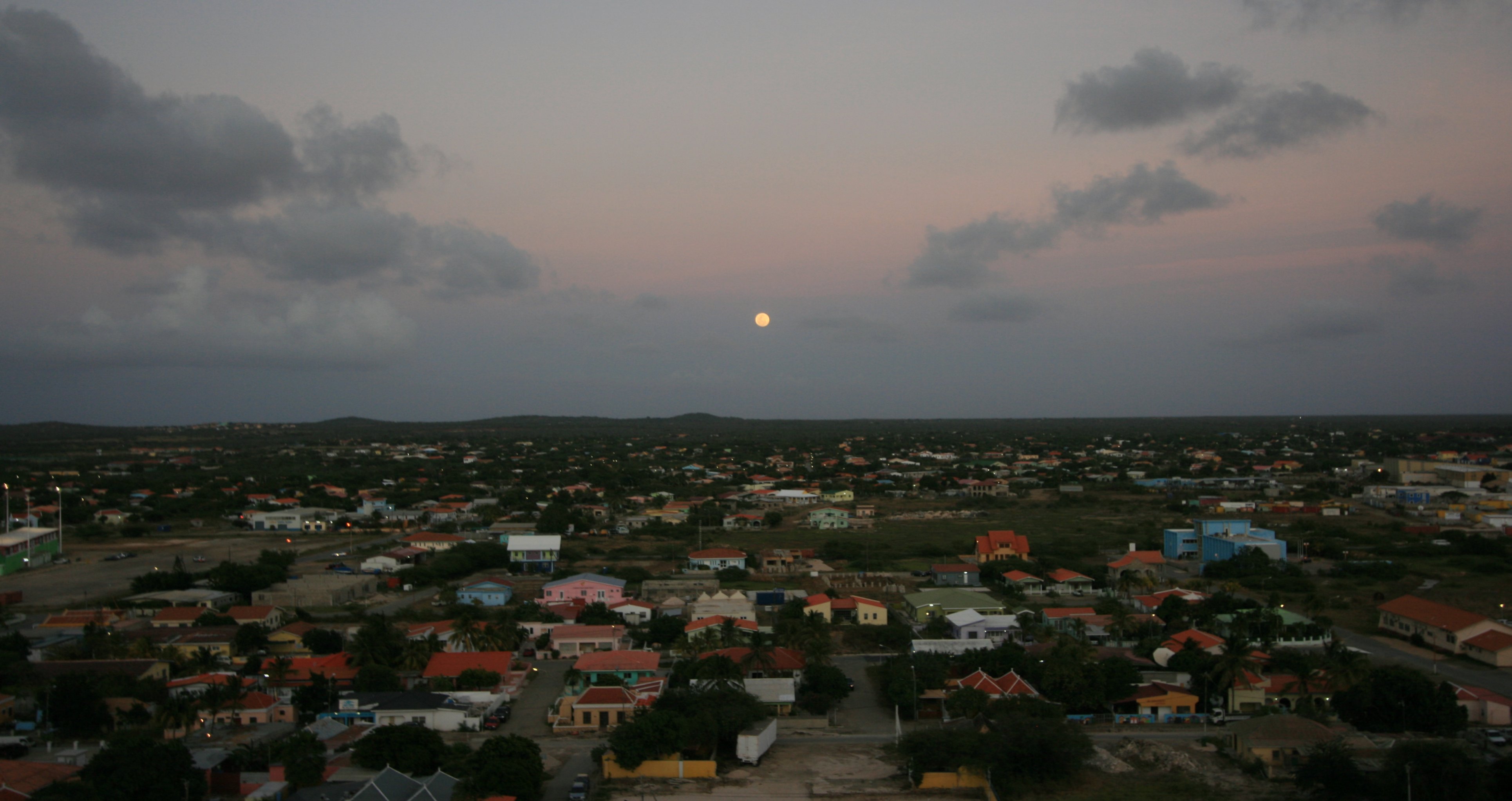
At 6:52pm with the moon shining brightly over the island we sailed away from Bonaire.
Bonaire just after sunset Sailing away from Bonaire

BONAIRE VIDEO
10 minute video of the Dutch Caribbean island of Bonaire.

MY EMAIL SENT WEDNESDAY, FEBRUARY 20, 2008
Hello Everyone,

Today we arrived in Bonaire on a very warm, bright and sunny day. Bonaire is an island in the Leeward Antilles in the Caribbean Sea. Together with Aruba and Curacao, it forms the group known as the ABC islands, located less than a hundred miles off the north coast of South America near the western part of Venezuela.


In the picture below you see us fleeing the ship for a day ashore in Bonaire.


I began my tour of the island. Our first stop was at the Slave Huts on Bonaire's southwest coast.


We got a nice view of Bonaire's harbor from here.


Below you can see the arid landscape of the island of Bonaire.


Our next stop was Gotomeer Lake.


There is no shortage of lizzards here in Bonaire.


Below you can see a flamingo in Gotomeer Lake. There are dozens more in the water behind the one in the front.


Donkeys roam freely on the island.


Our next stop was at Washington Slagbaai National Park.


Below you can see a native hut showing how folks lived in Bonaire in the early days.


Below you can see typical Caribbean architecture in this Bonaire home.


Below is downtown Kralendijk, Bonaire's capital city.


Kralendijk is not a big town. It's population is just over 3000 people.


I walked around town after my tour was over. I did not buy any chicken at the local KFC.


I eventually walked back to the ship.


There was a beautiful sunset just before we sailed away.


A nice bright moon over Kralendijk, Bonaire.


It was a beautiful sail away tonight.


We left the Celebrity Summit in port by itself.


As the moon shined brightly we were on our way to Aruba.


More Later,

Tim
Click on email photos for the large full-size photograph.


Click above to continue to my next adventure, ARUBA.

TIM'S HOME PAGE SITE INDEX
AreasDescription# of Pages
About MeCurrent Picture of me and my home.
Information about myself.
2
BiographyPictorial biography of myself.
Pictures range from birth to adulthood.
4
Family FilePictures of my family
and a little information about them.
12
Local SpotlightPictures, Links, and Information for
Indianapolis, Richmond, Plainfield,
and Mooresville, Indiana.
6
Tim's TravelsPictures, videos and travelogs from
my travels around the world.
409
  Vacation Videos   Over 1500 videos from
my travels around the world.
1
NOTICE: THIS WEB SITE WILL BE PERMANENTLY CLOSED ON JUNE 1, 2024