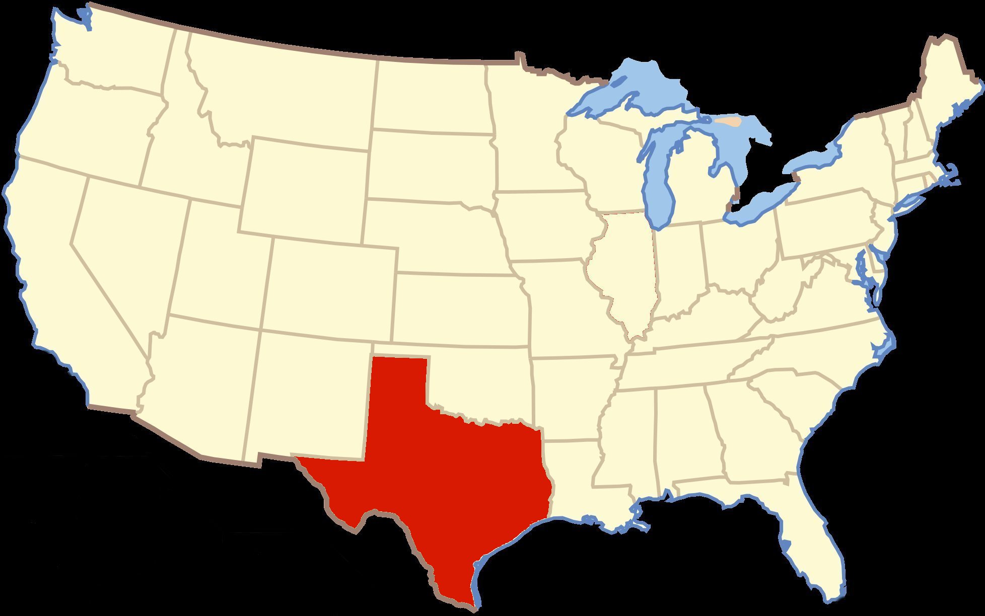
Today I drove 184.4 miles traveling from Ozona, Texas to Alpine, Texas.
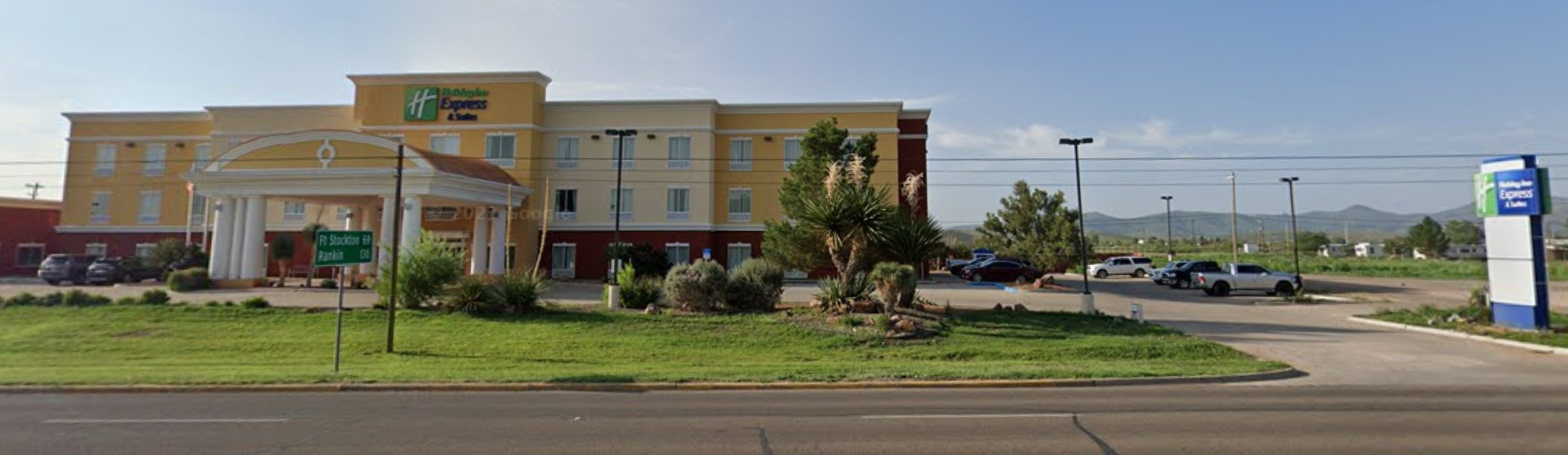
I am spending the night at the Holiday Inn Express in Alpine, Texas.
For the second night in a row my standard room was upgraded to a suite.

|
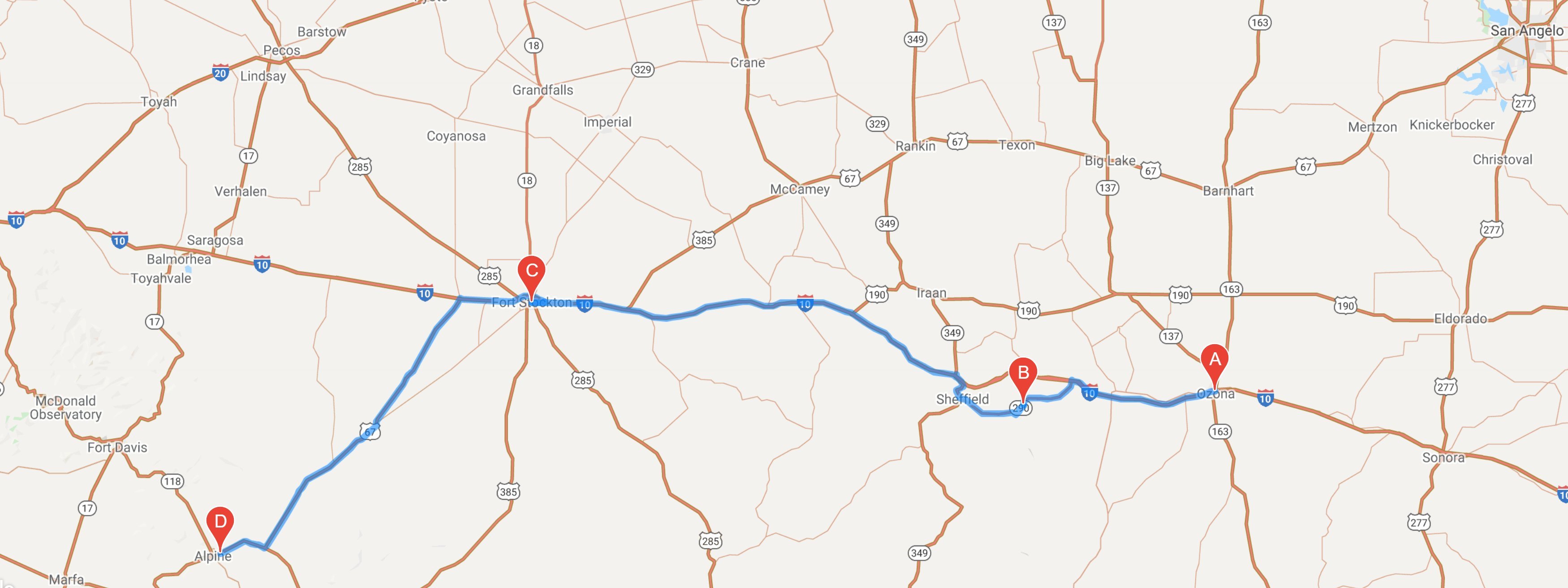
Howdy citizens, Weather was perfect again today. I am slowly making my way across Texas. I probably should have combined today and yesterday into one day but I like not having to drive over 200 miles in a day even if I can drive 85mph. I set out from Ozona this morning at about 10:30. It was about a ten foot drive from my hotel to get back on Interstate 10. About thirty miles down the road I exited the freeway on a short scenic loop that took me back to the Interstate. Along the loop there was a nice scenic vista near Fort Lancaster. 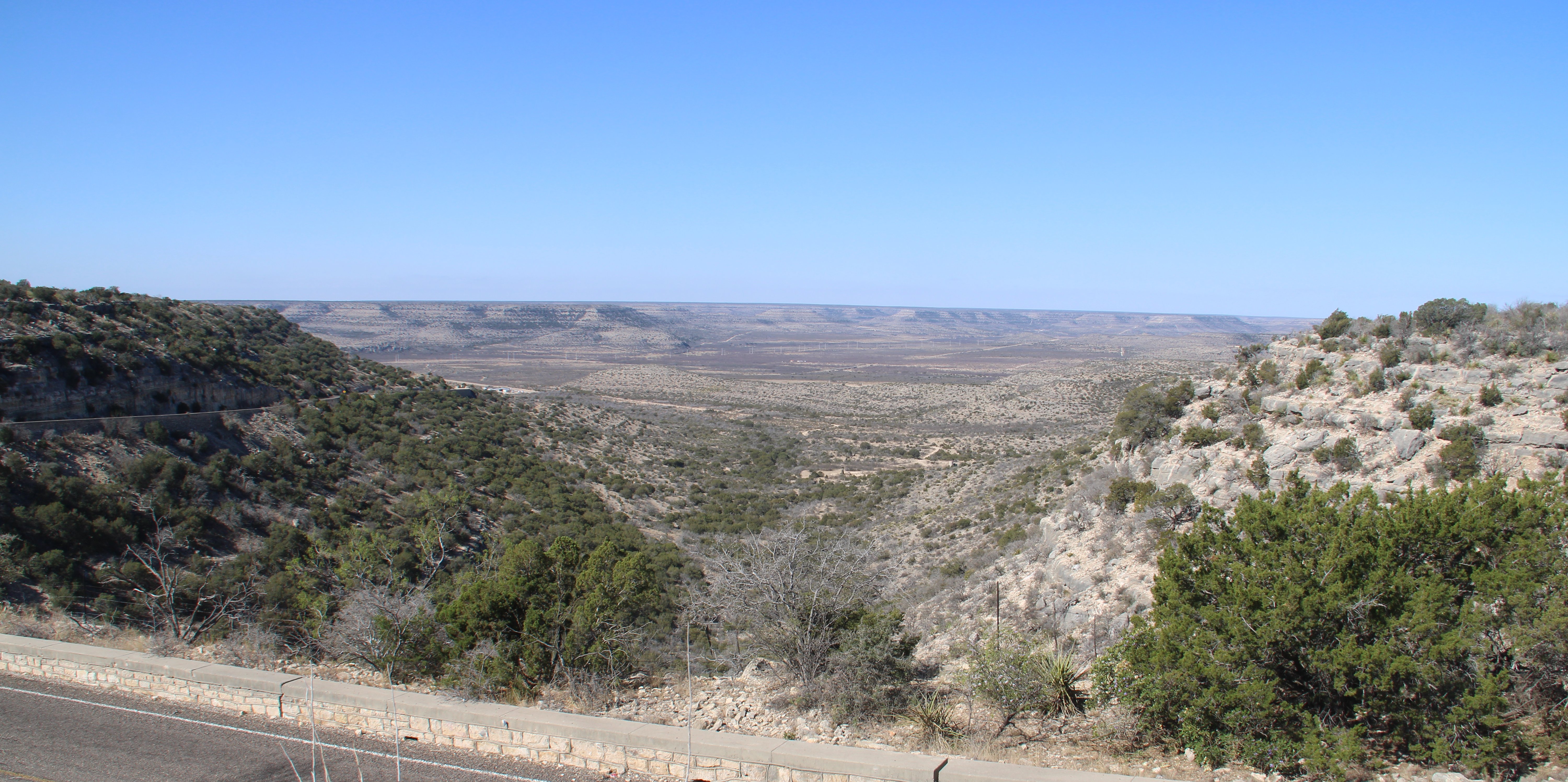 A few more miles down the road I came to Fort Lancaster. Fort Lancaster is a former United States Army installation established in 1855 on the San Antonio–El Paso Road to protect migrants moving toward California through Texas. 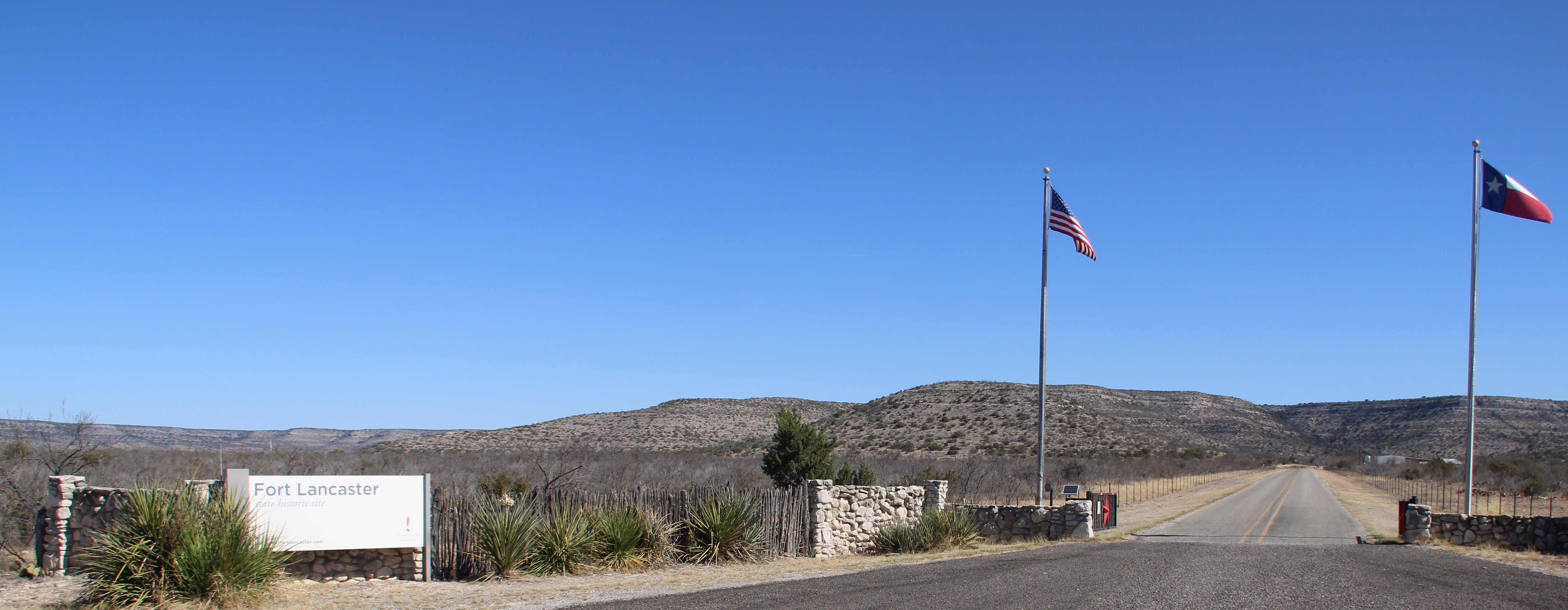 The 82-acre site, now operated by the Texas Historical Commission as Fort Lancaster State Historic Site, contains the ruins of 29 buildings that made up the fort and a visitor center with a museum. 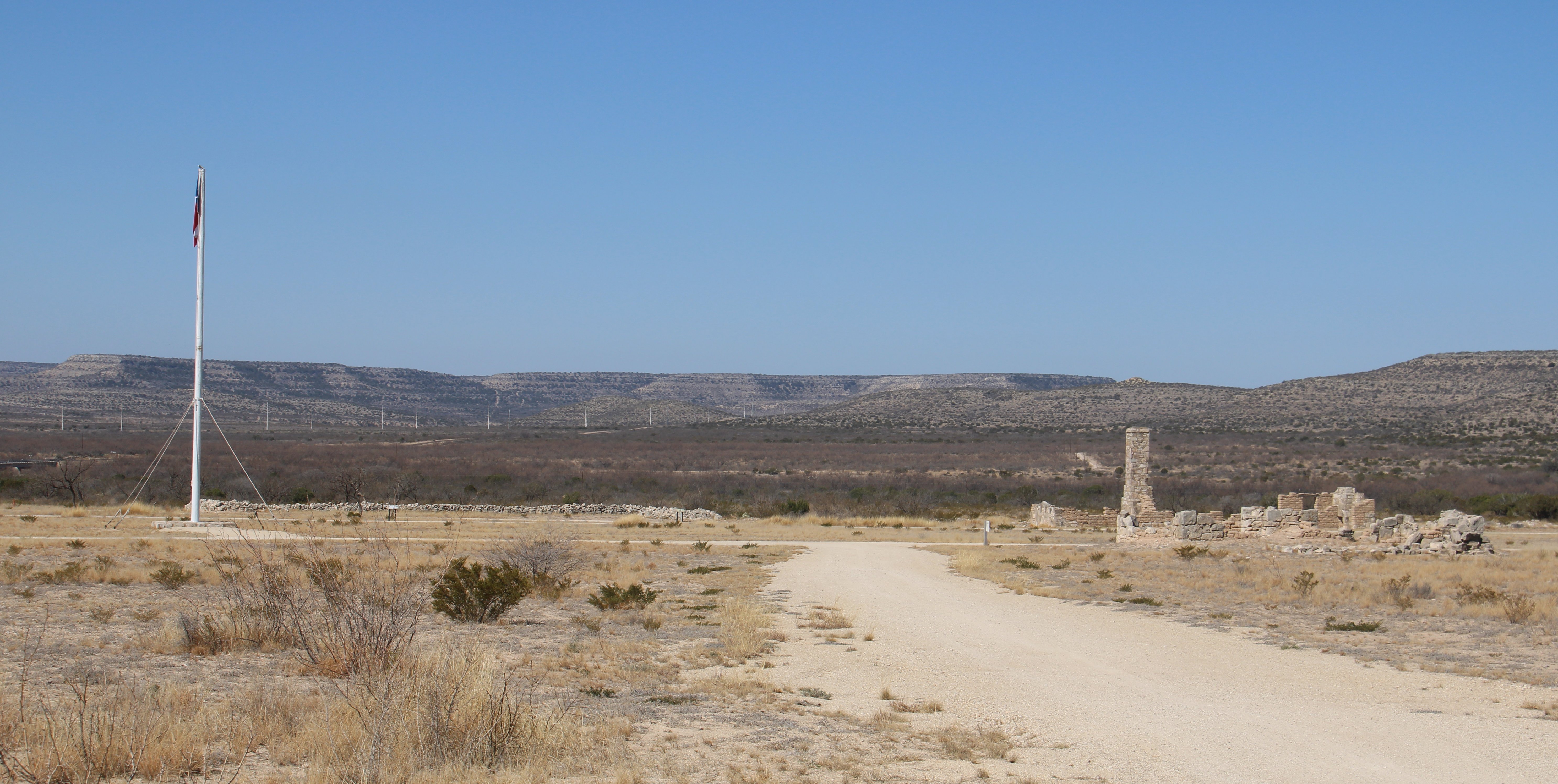 After leaving the fort I crossed the Pecos River. The Pecos River originates in north-central New Mexico and flows into Texas, emptying into the Rio Grande. A few more miles up the road it was back on Interstate 10 where I continued my westward journey. 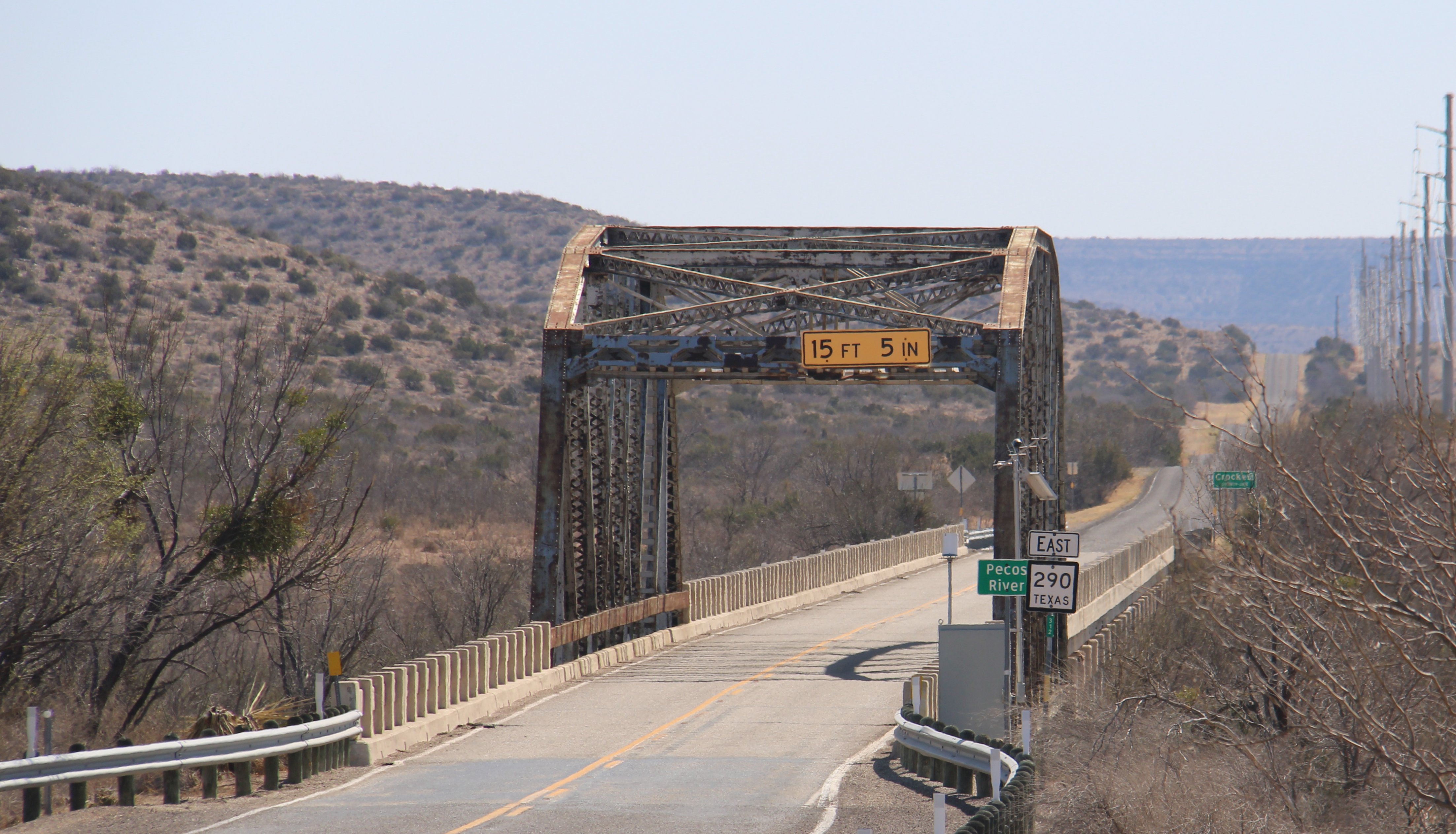 About 75 miles down the road I came to Fort Stockton. I spent about an hour in this historic town of about 8300 people. 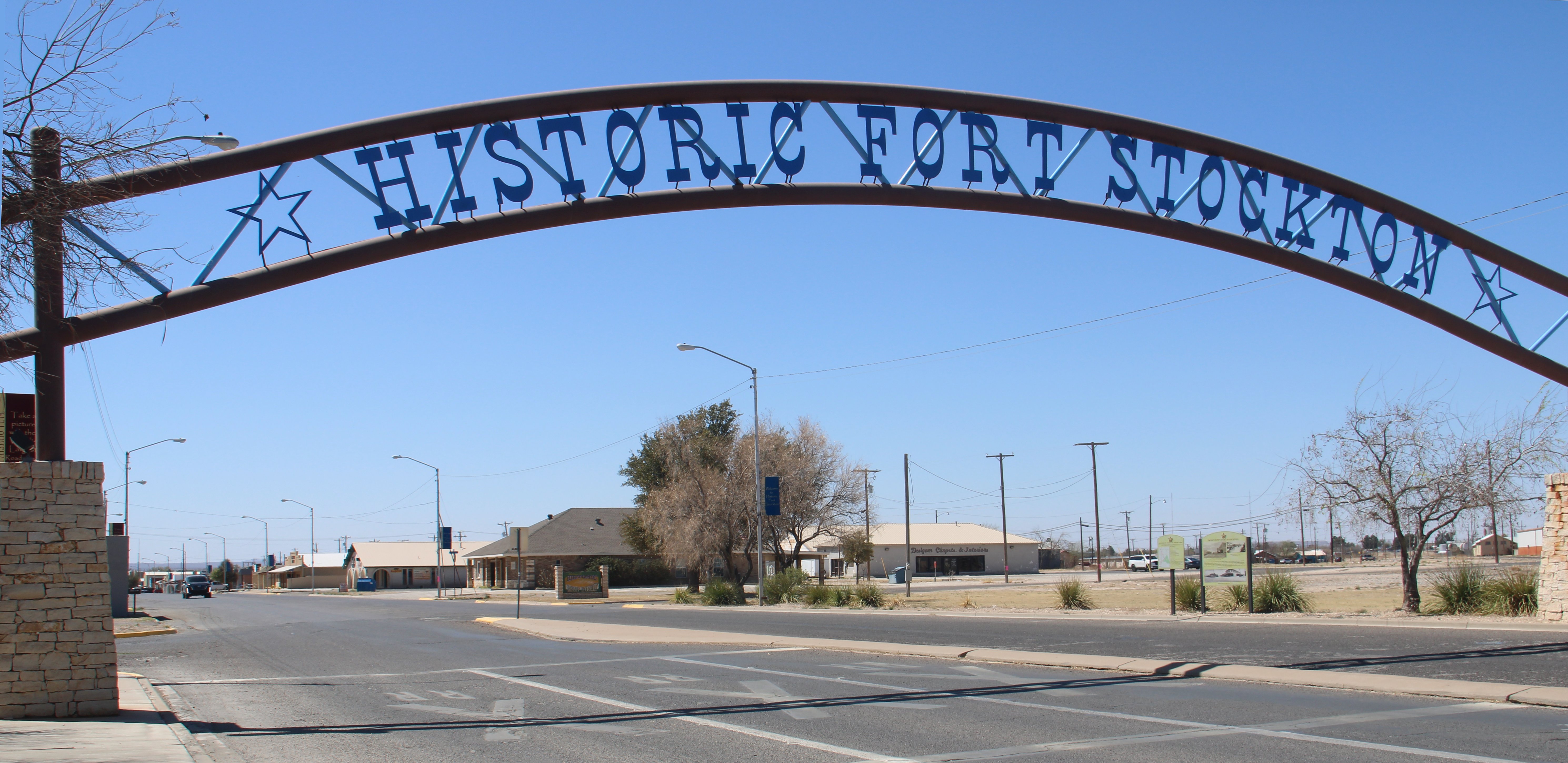 My first order of business was to visit a friend of Dan's. His name is Paisano Pete. He and Dan became good buddies after his visit here last summer. Pete is the town mascot which was erected in 1980. He is an 11-foot tall, 22-foot long roadrunner sculpture, touted as the largest roadrunner in the world. 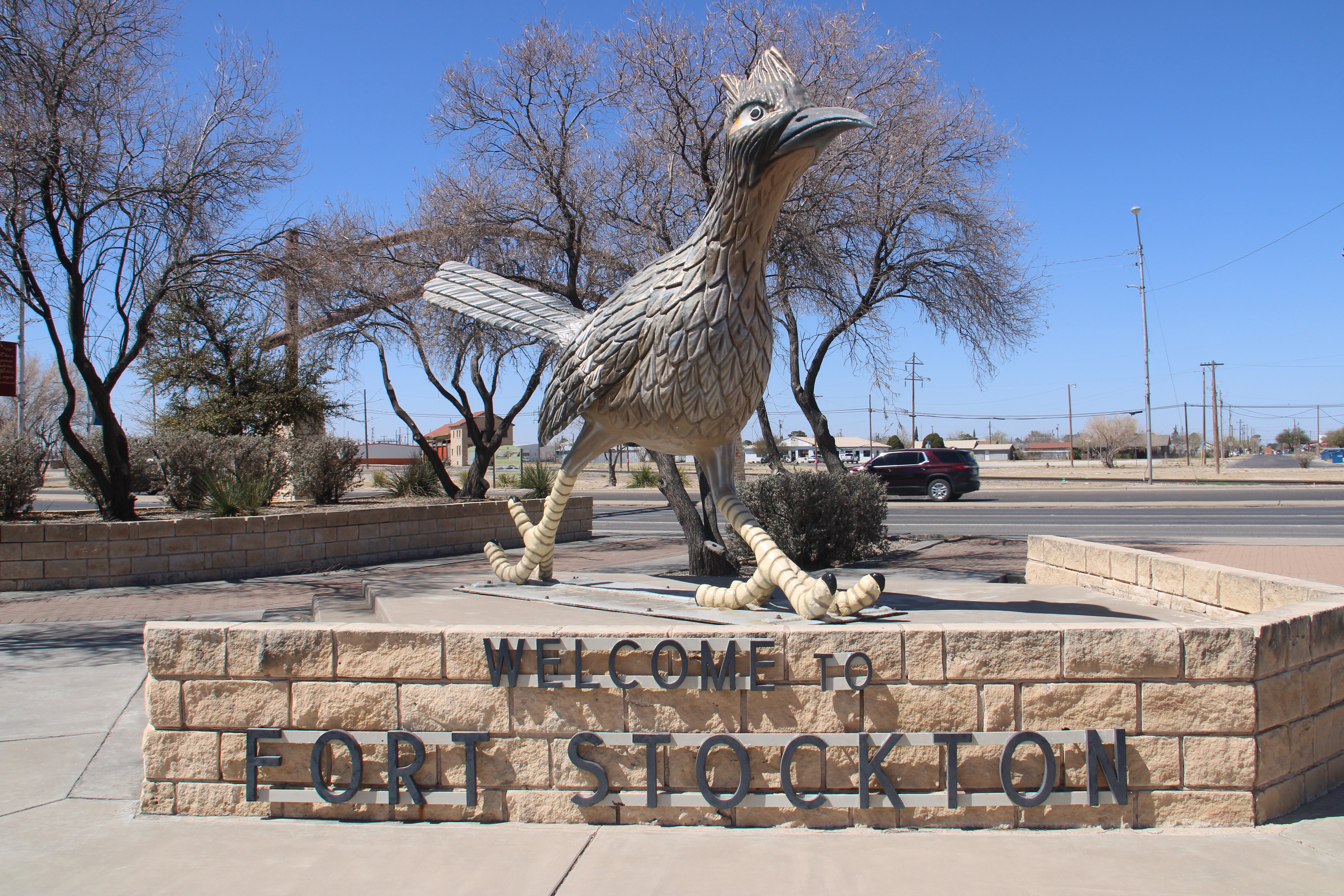 Across the street from Pete is the Visitor Center located in the original Kansas City, Mexico & Orient Railroad depot built in 1911. It features a train car, a pump jack, and other exhibits that symbolize Fort Stockton. 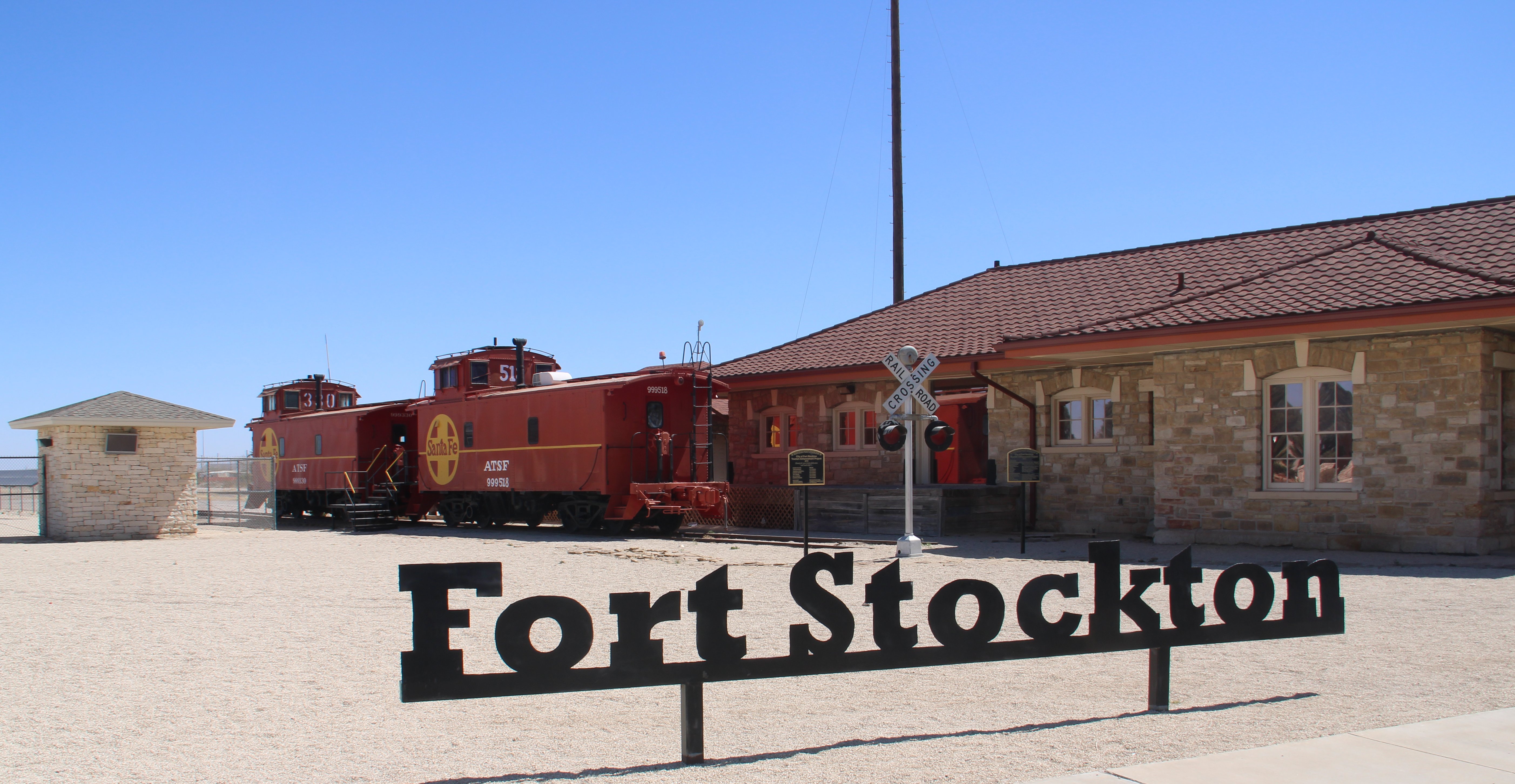 Beyond the plethora of information available at the center, there are terraced gardens accentuating Comanche Springs, a centuries old water source used by native people and subsequently by travelers, the fort and town folk. Interpretive metal sculpture silhouettes by Brian Norwood are placed strategically around the center grounds and highlight important aspects of the town’s history… the Comanche People, the military, early settlers and vaqueros. 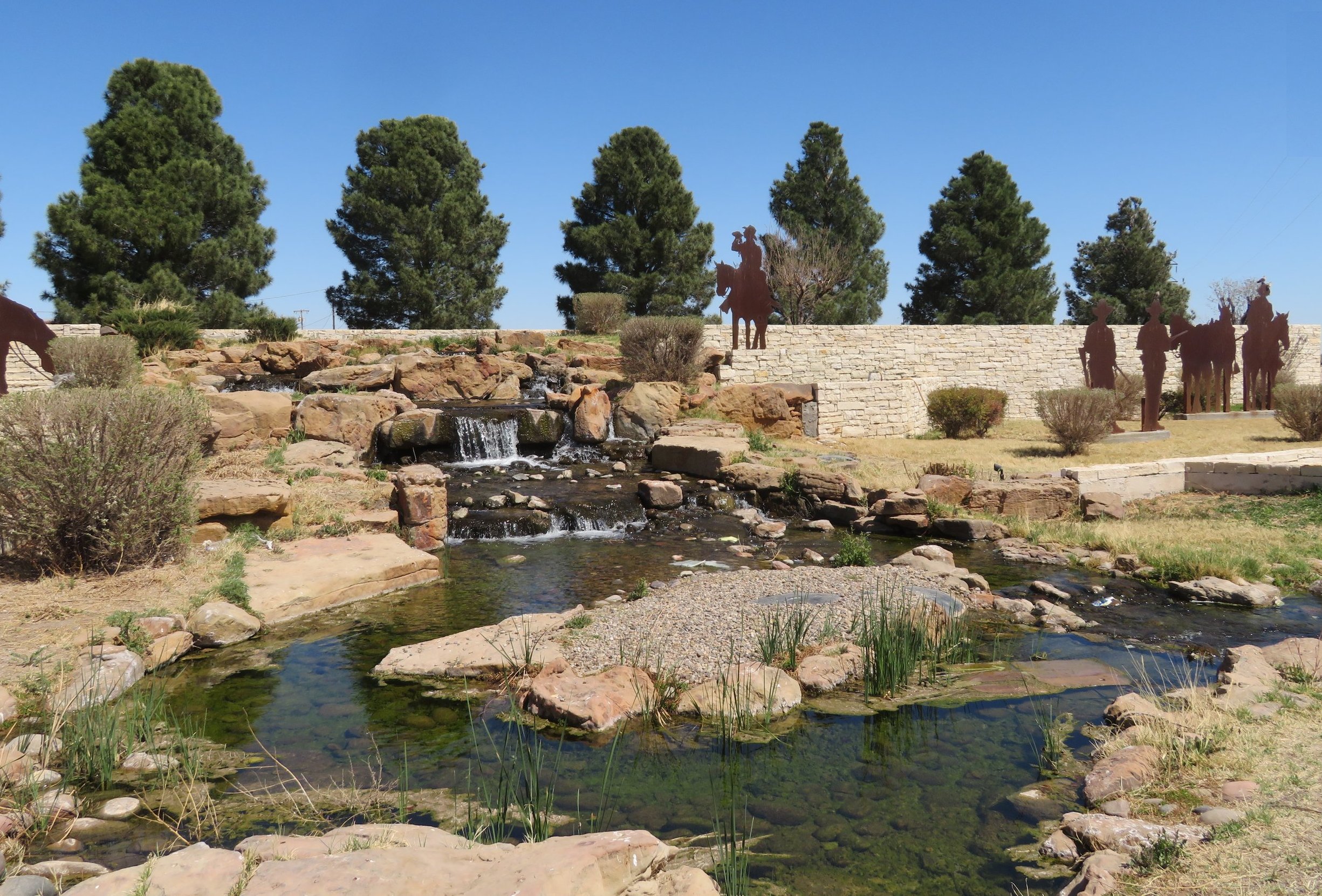 The crumbling adobe house below is the only remnant of Fort Stockton from the early 1860s, when the U.S. Army military post of Fort Stockton had just been founded along the San Antonio-El Paso Road, and the nearby very lightly populated townsite was called Saint Gall. You could say the house is a bit of a fixer upper. 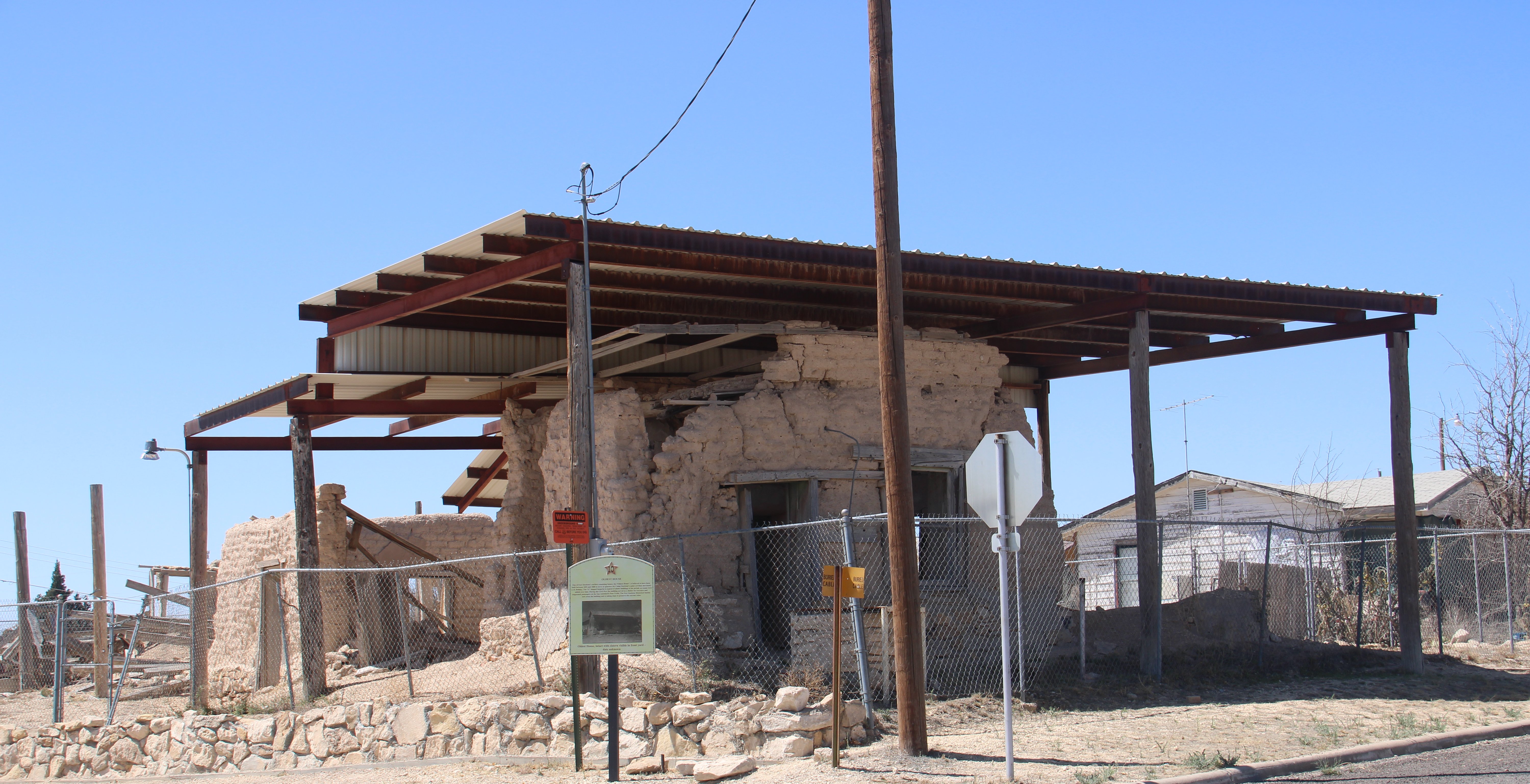 Fort Stockton is the county seat of Pecos County and in the picture below you'll see the courthouse. 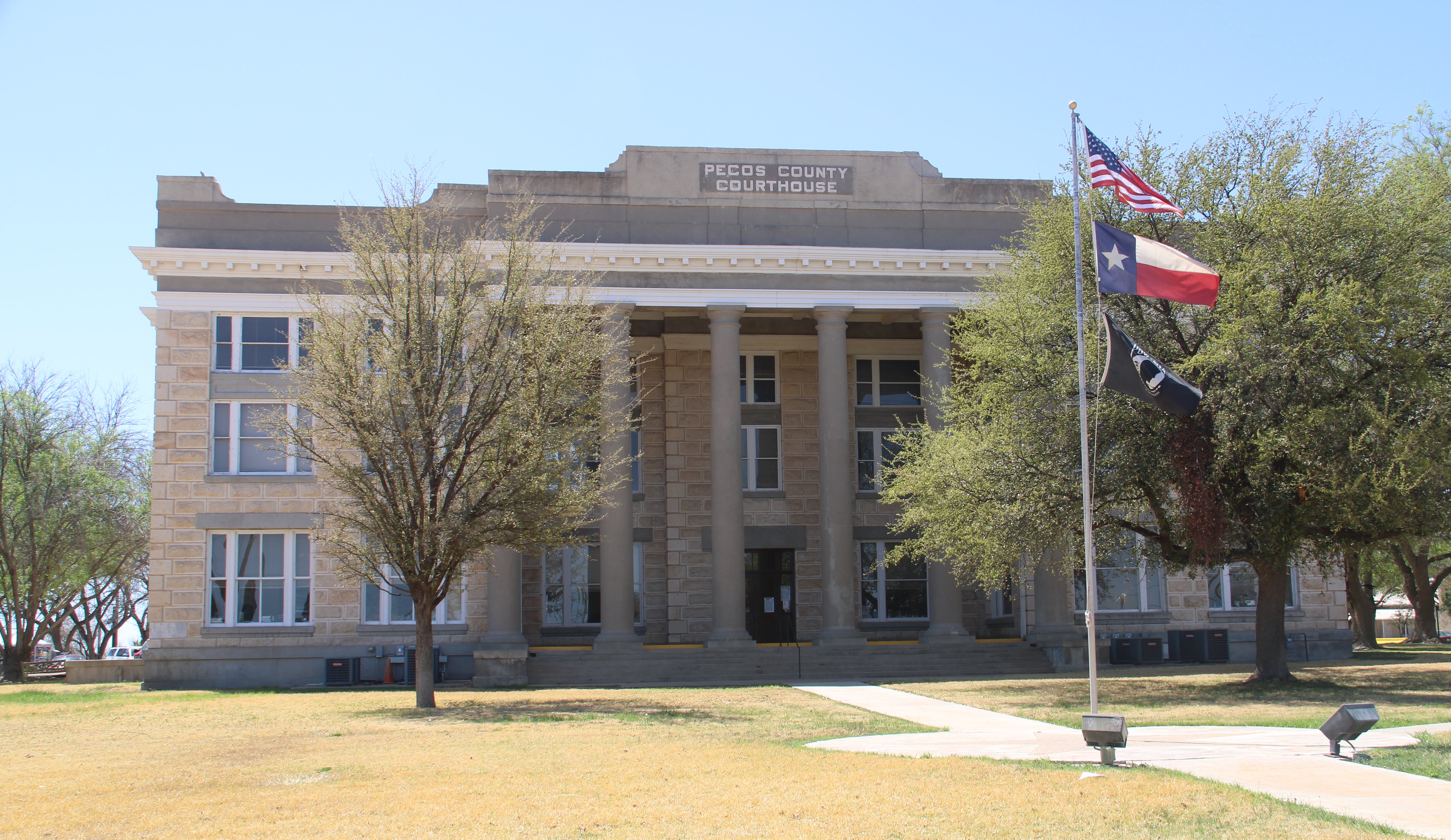 Zero Stone Park is the home of the “Zero Stone,” which is the center of the plaza of St. Gall. All lots in St. Gall are referenced from this position. 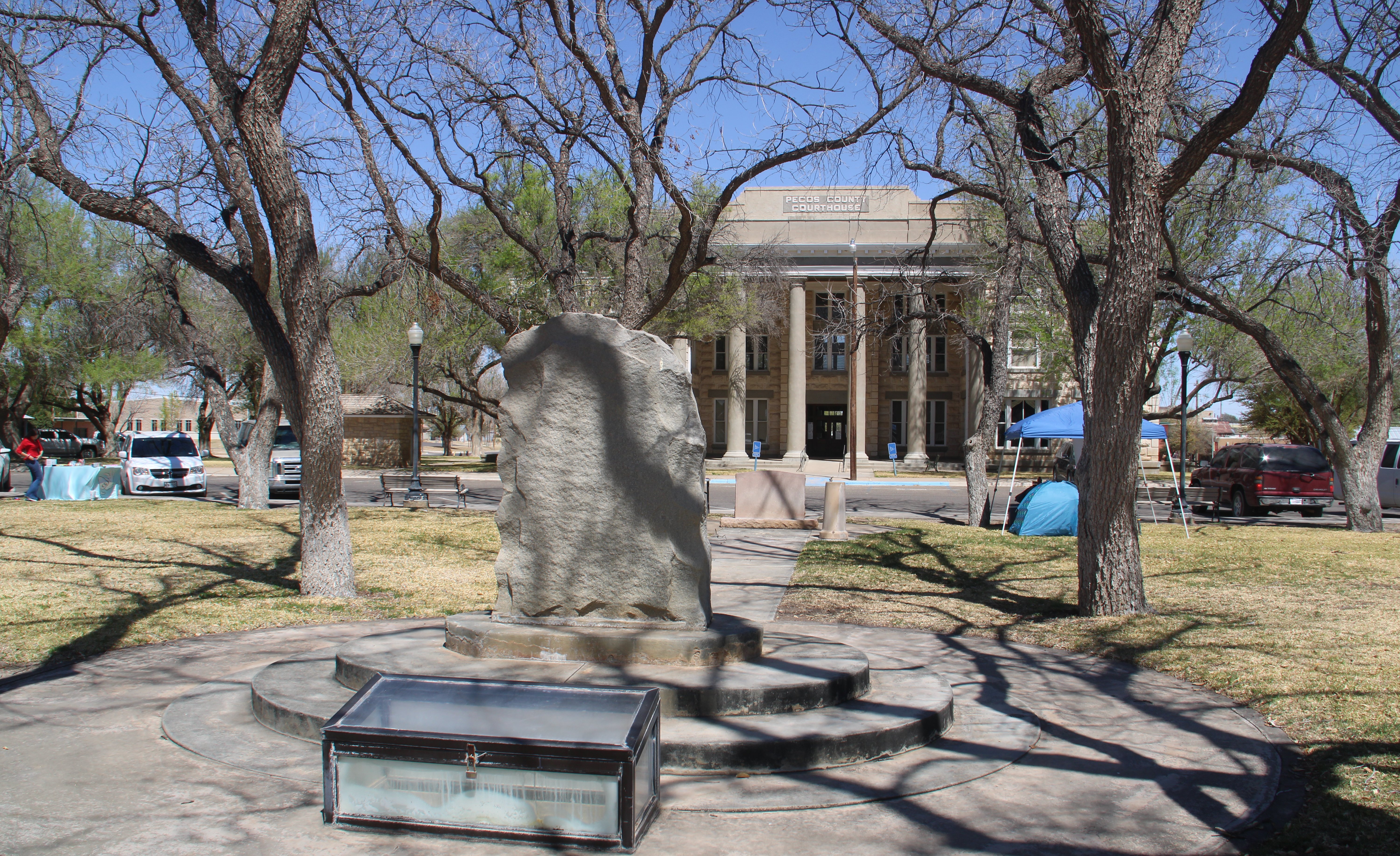 Zero Stone Park also includes a large gazebo and memorials. The park is located at the center of Pecos County. 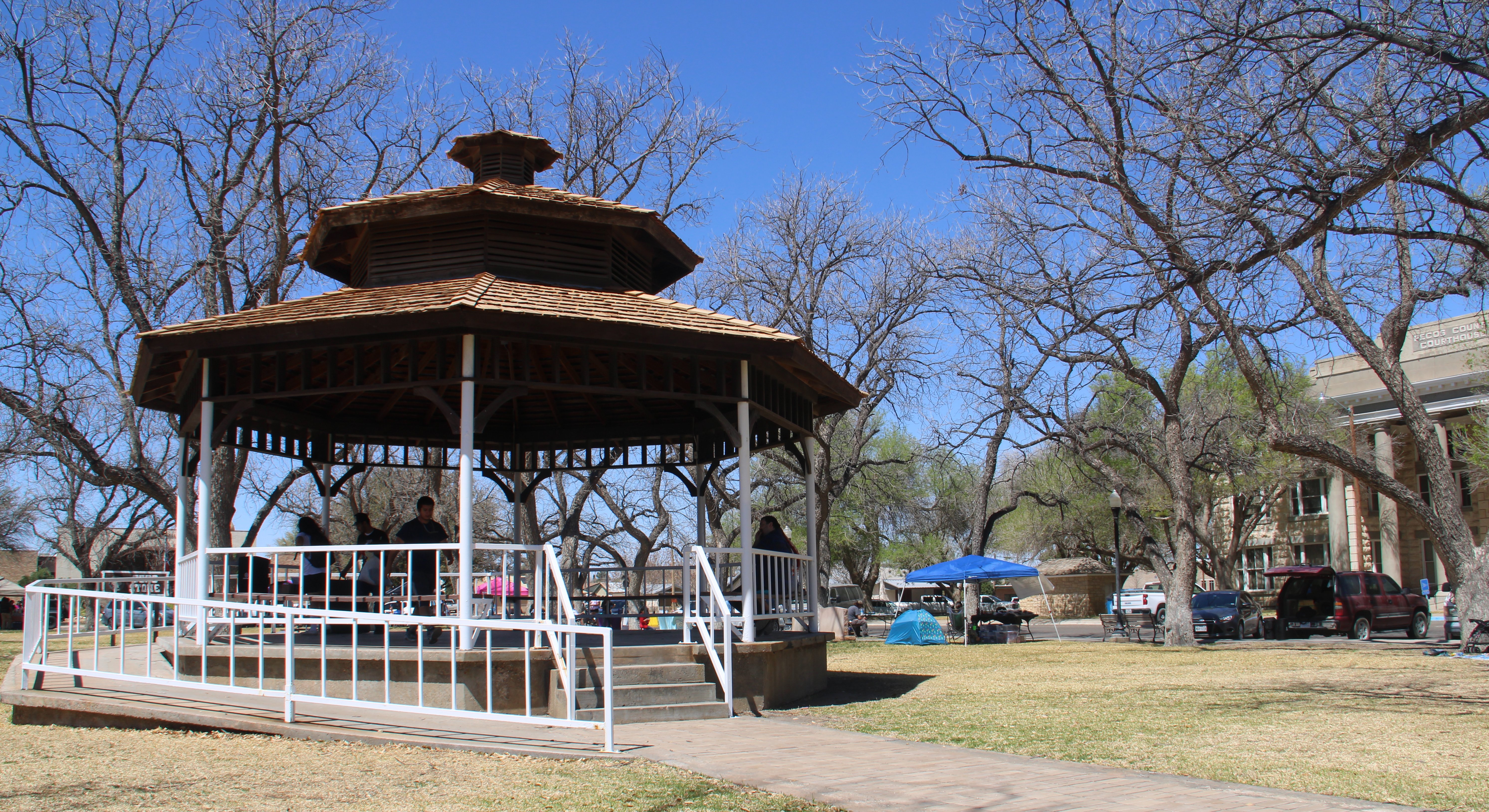 There was some kind of event going on at the park and across the street at the Catholic Church folks were arriving for a wedding. 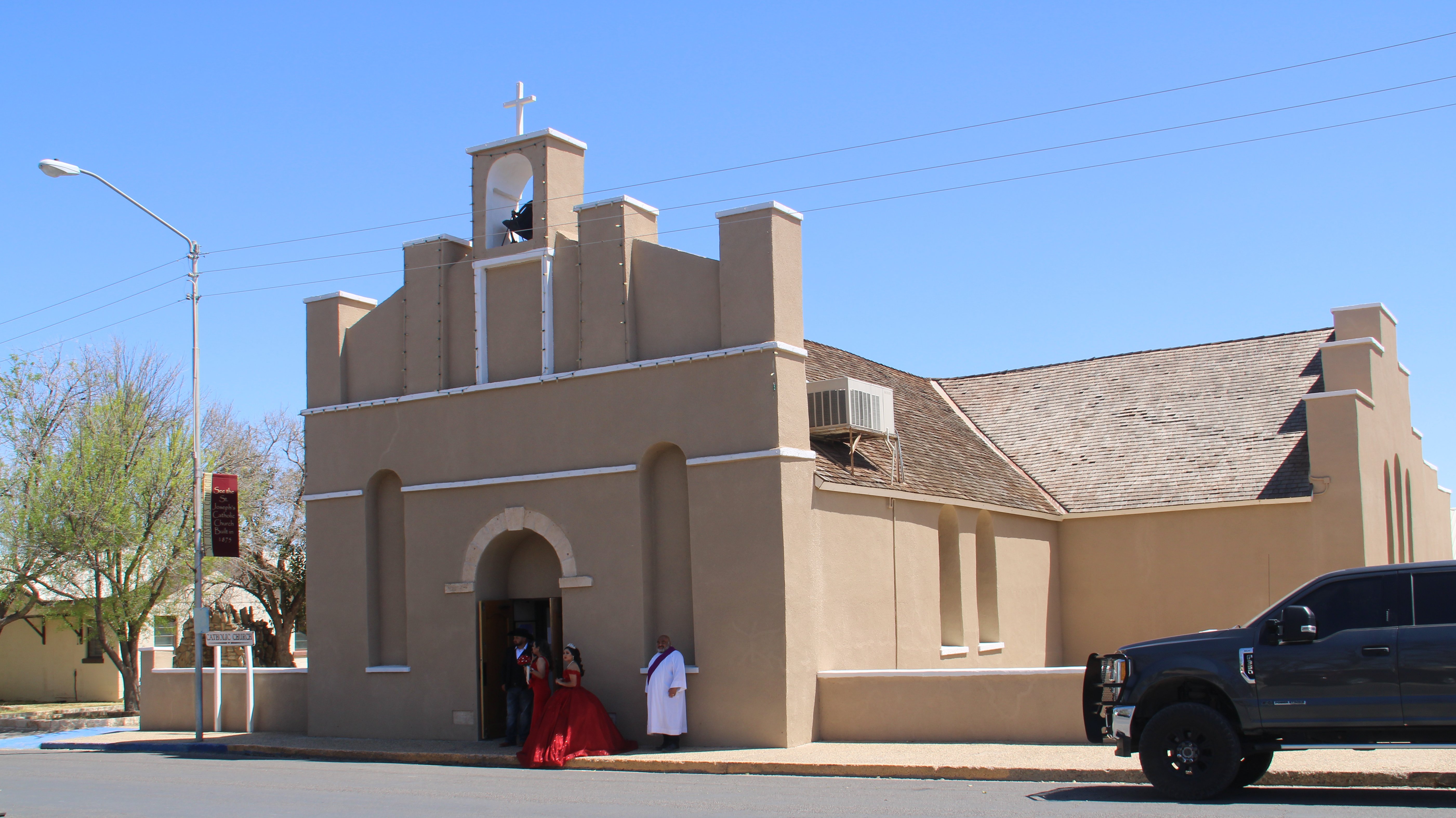 Since I wasn't invited to the wedding it was now time to leave town. If you want to see more of Fort Stockton there is a video on my web site. It was back on Interstate 10 for a while and then I had to exit the freeway for the last 55 miles down to Alpine, Texas. 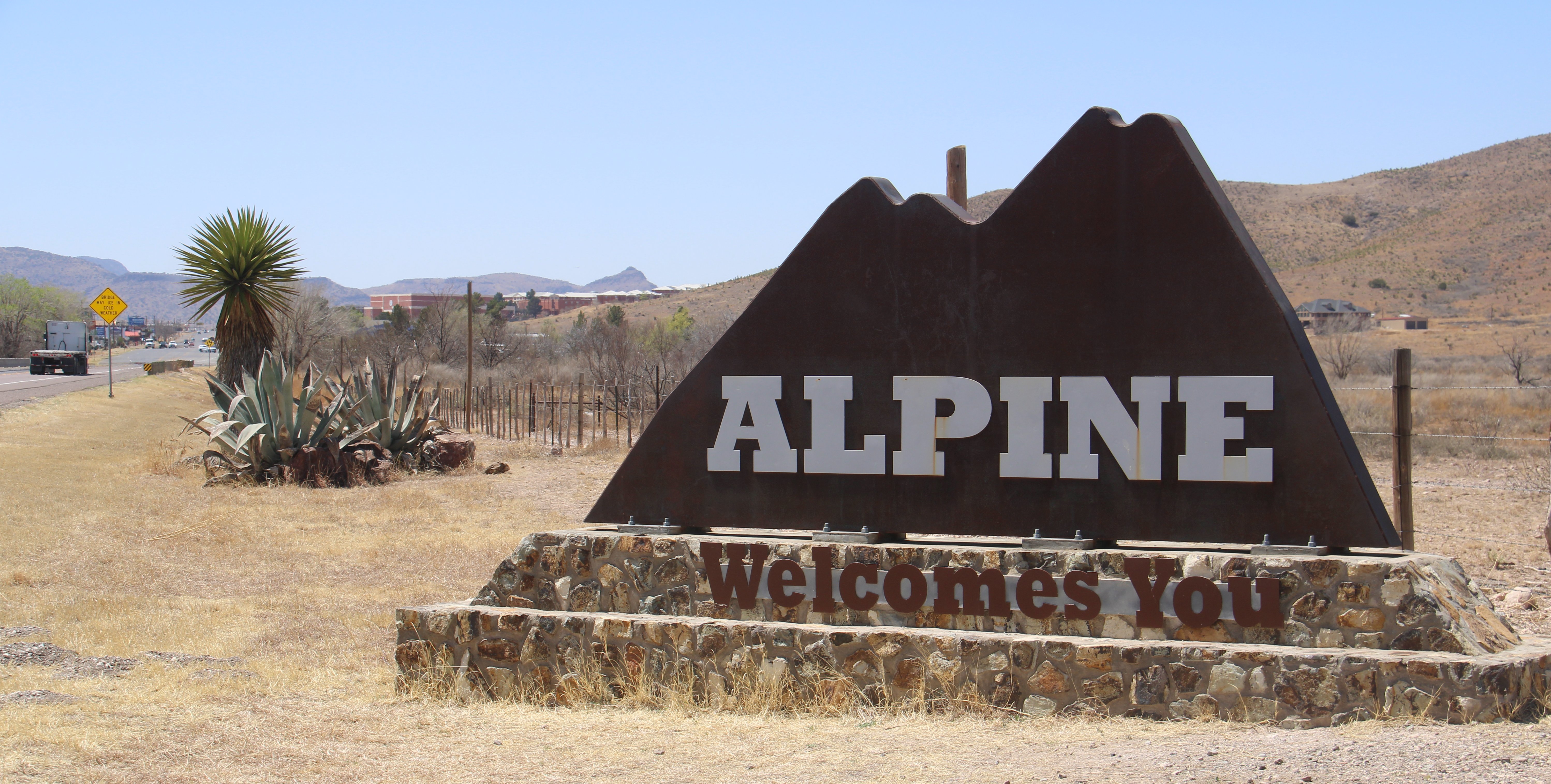 Alpine is a small town of about 6000 people. It is the county seat of Brewster County. And since I know you will be disappointed if you don't get to see the courthouse, you'll find it in the picture below. 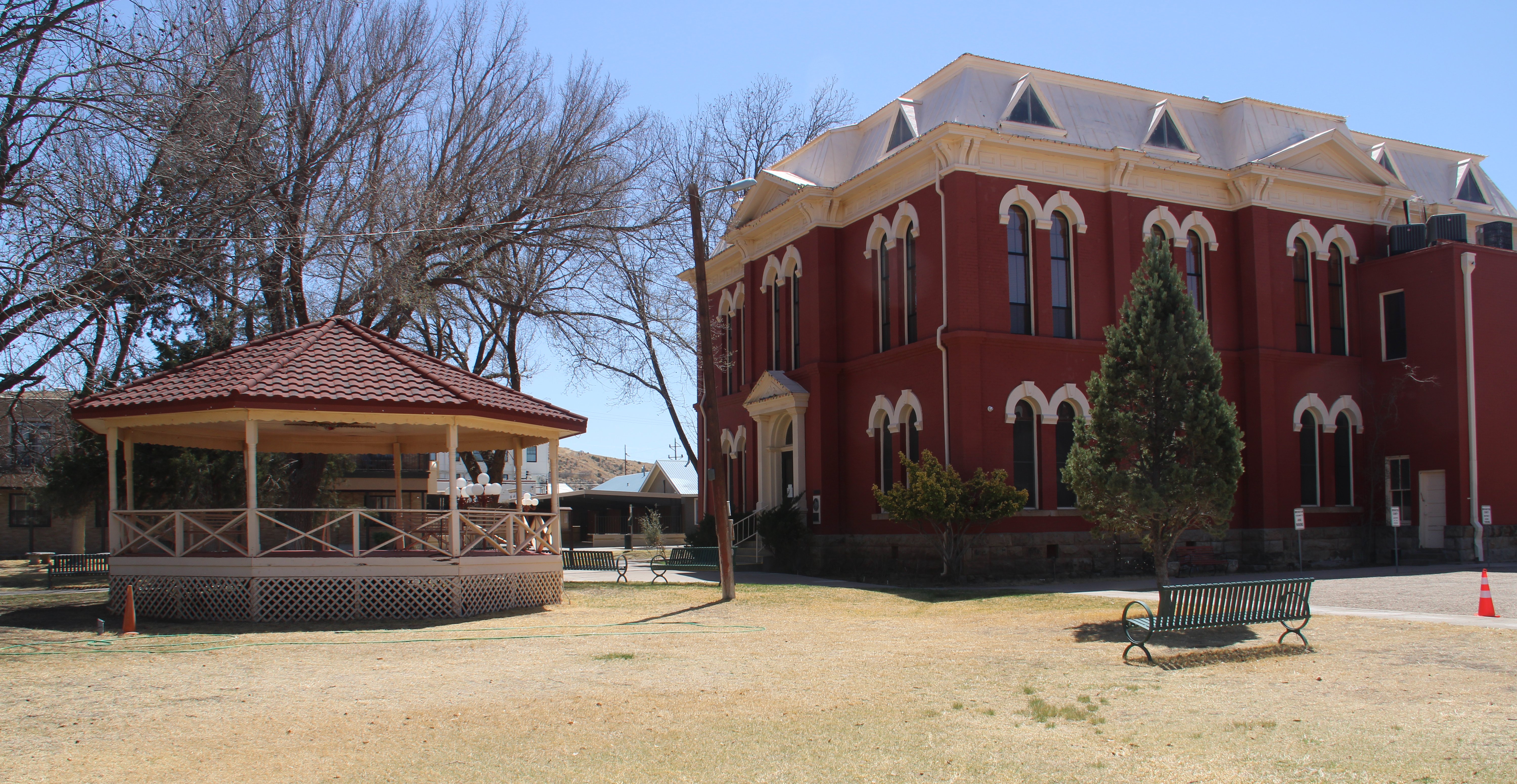 Below is downtown Alpine. You can see a mural on the wall of the building. 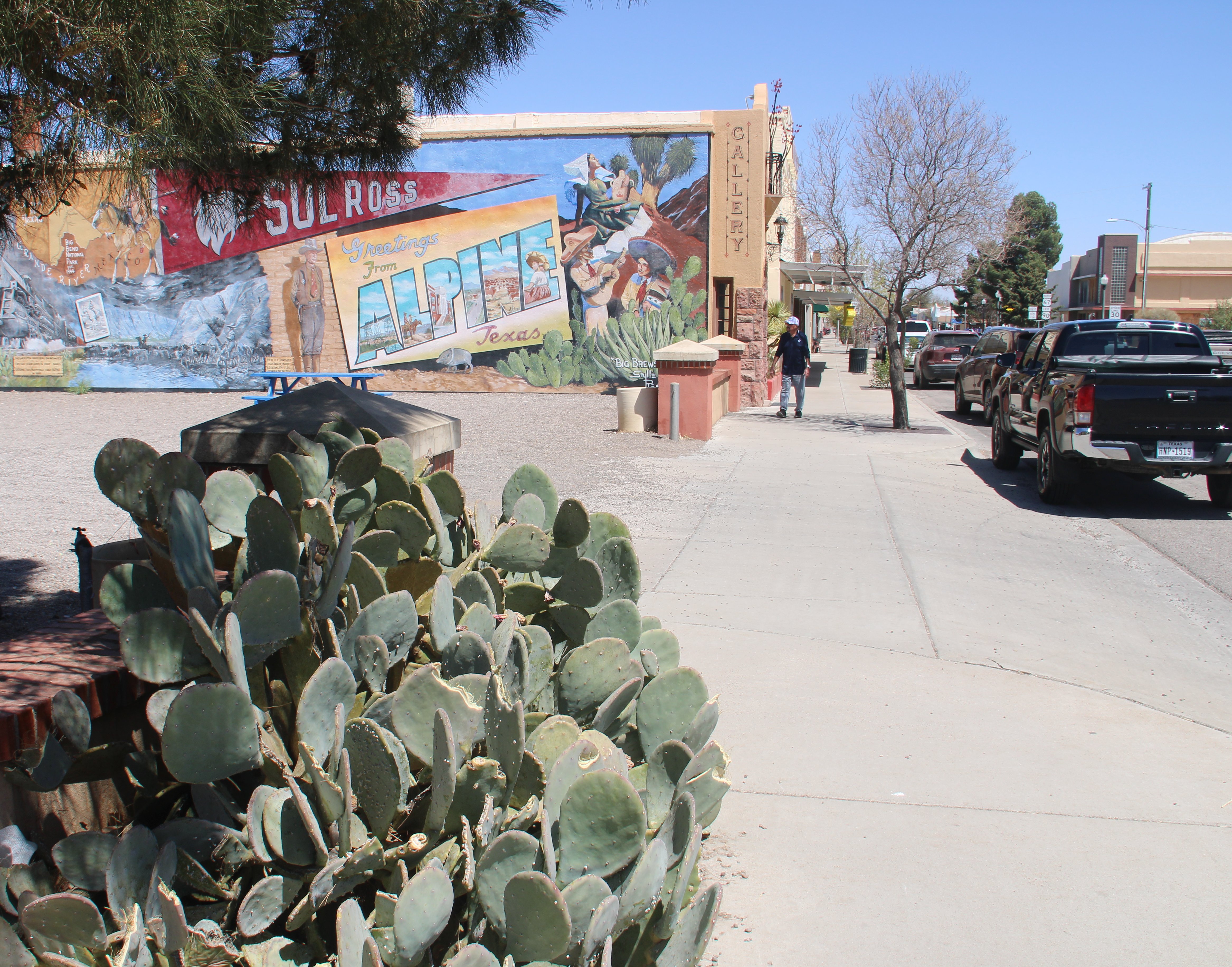 There were several nice murals in the downtown area. Below was my favorite. 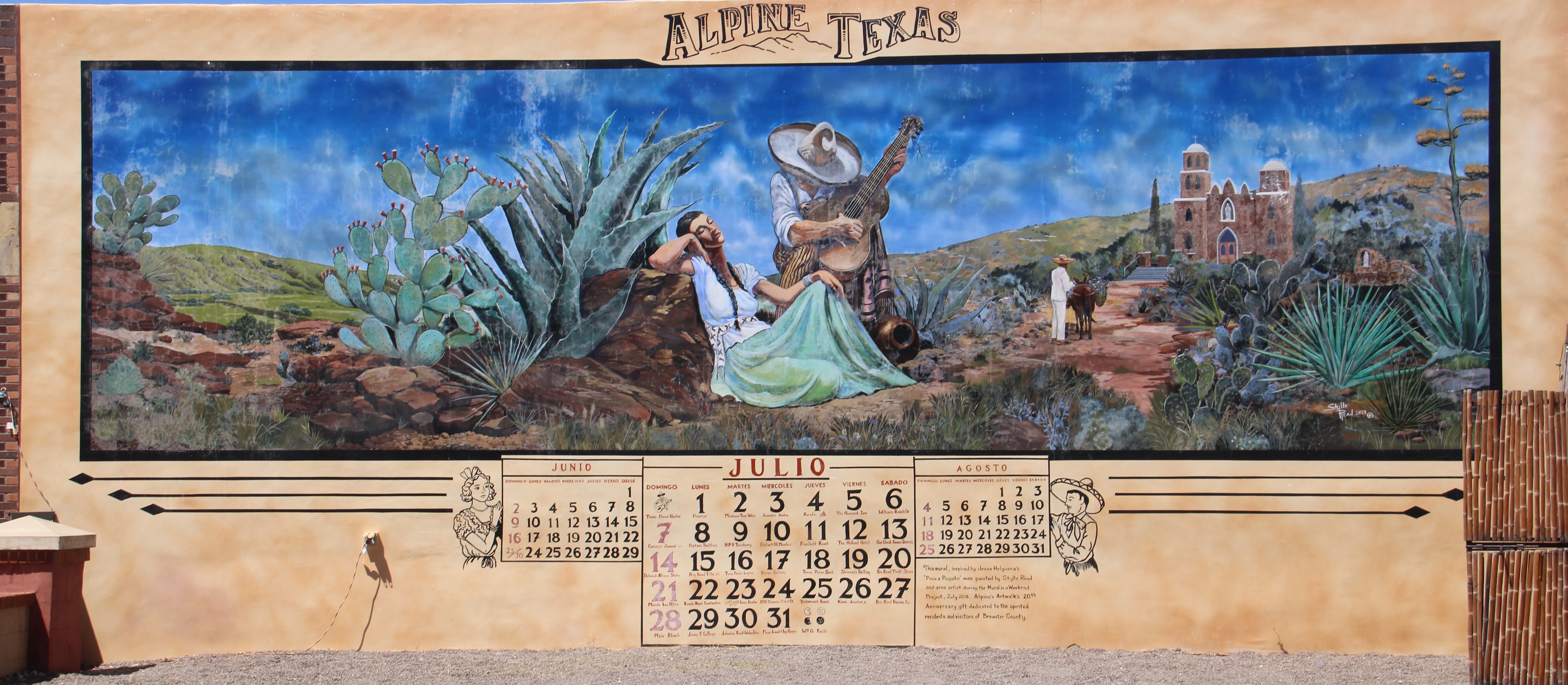 From there it was about a mile down the road to my hotel, the Holiday Inn Express. Later I retrieved my dinner from the local Sonic Drive-In. 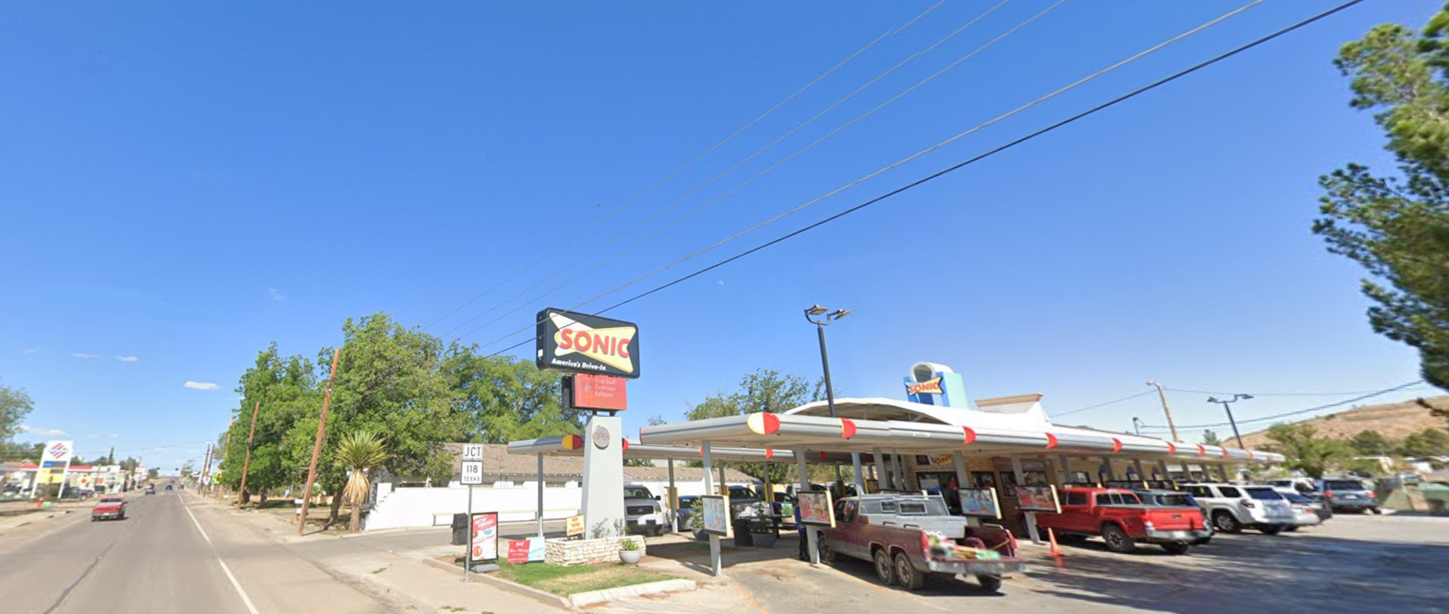 Hope you all are having a good weekend. Thanks for reading my emails. Until tomorrow. Tim |
Covers 184 miles from Ozona, Texas to Alpine, Texas. |

Click on the arrow above for tomorrow's adventures.
| TIM'S HOME PAGE SITE INDEX | |||
|---|---|---|---|
| Areas | Description | # of Pages | |
| About Me | Current Picture of me and my home. Information about myself. | 2 | |
| Biography | Pictorial biography of myself. Pictures range from birth to adulthood. | 4 | |
| Family File | Pictures of my family and a little information about them. | 12 | |
| Local Spotlight | Pictures, Links, and Information for Indianapolis, Richmond, Plainfield, and Mooresville, Indiana. | 5 | |
| Tim's Travels | Pictures, videos and travelogs from my travels around the world. | 409 | |
| Vacation Videos | Over 1500 videos from my travels around the world. | 1 | |