(New Zealand Flag)
TUESDAY, JANUARY 23, 2007:
It was a five mile drive to my hotel from the Wellington Airport.

All of the images below are thumbnails and can be clicked on for a larger image.
On Tuesday I flew from Queenstown to Wellington with a brief stop in Christchurch to change planes.


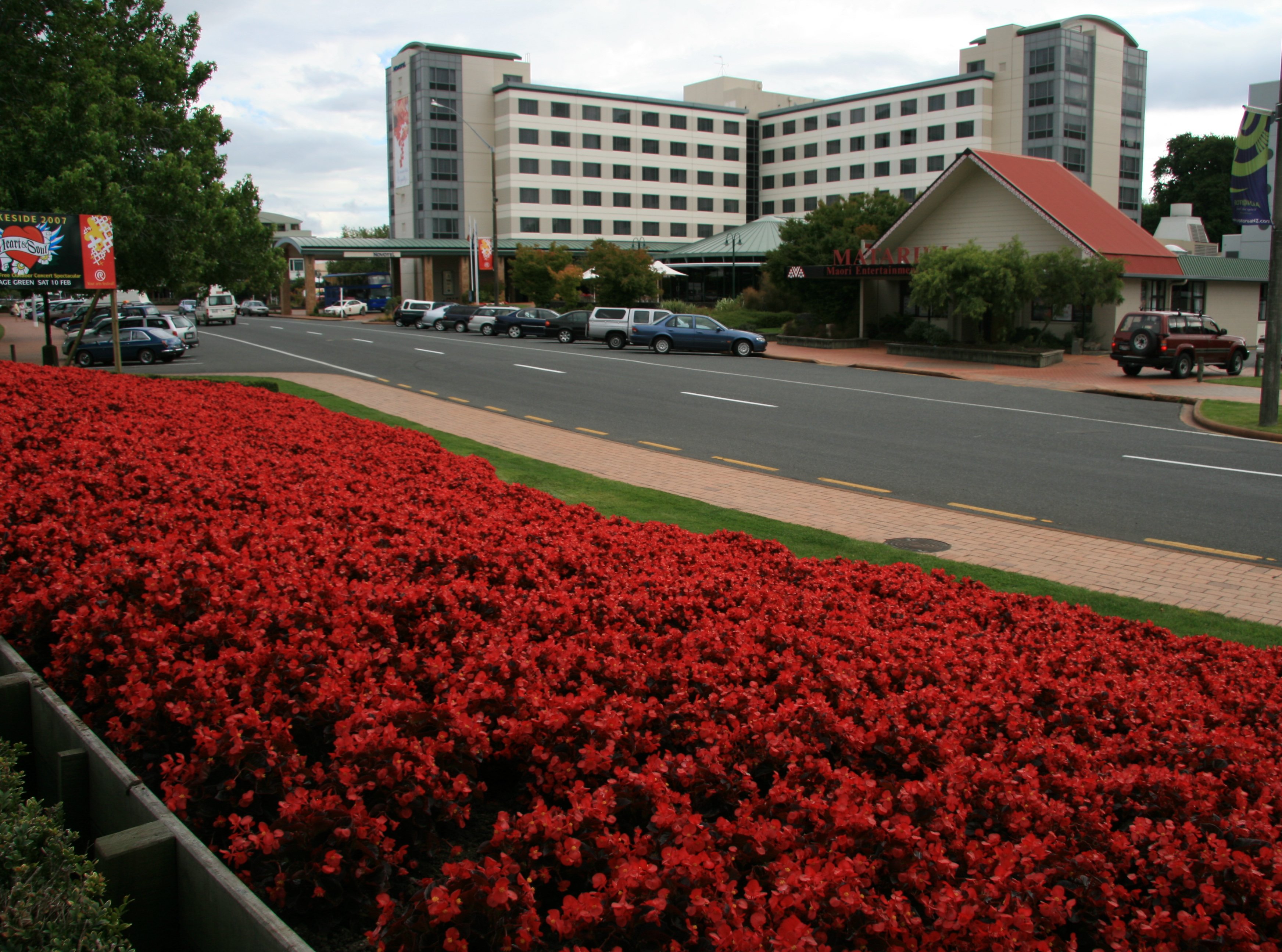
After my arrival in Wellington, the nation's capitol, I took a walk around the city.


Wellington is known for its really bad weather, but it was a pretty nice day when I was there.


2 minute video of Wellington, New Zealand. |
|
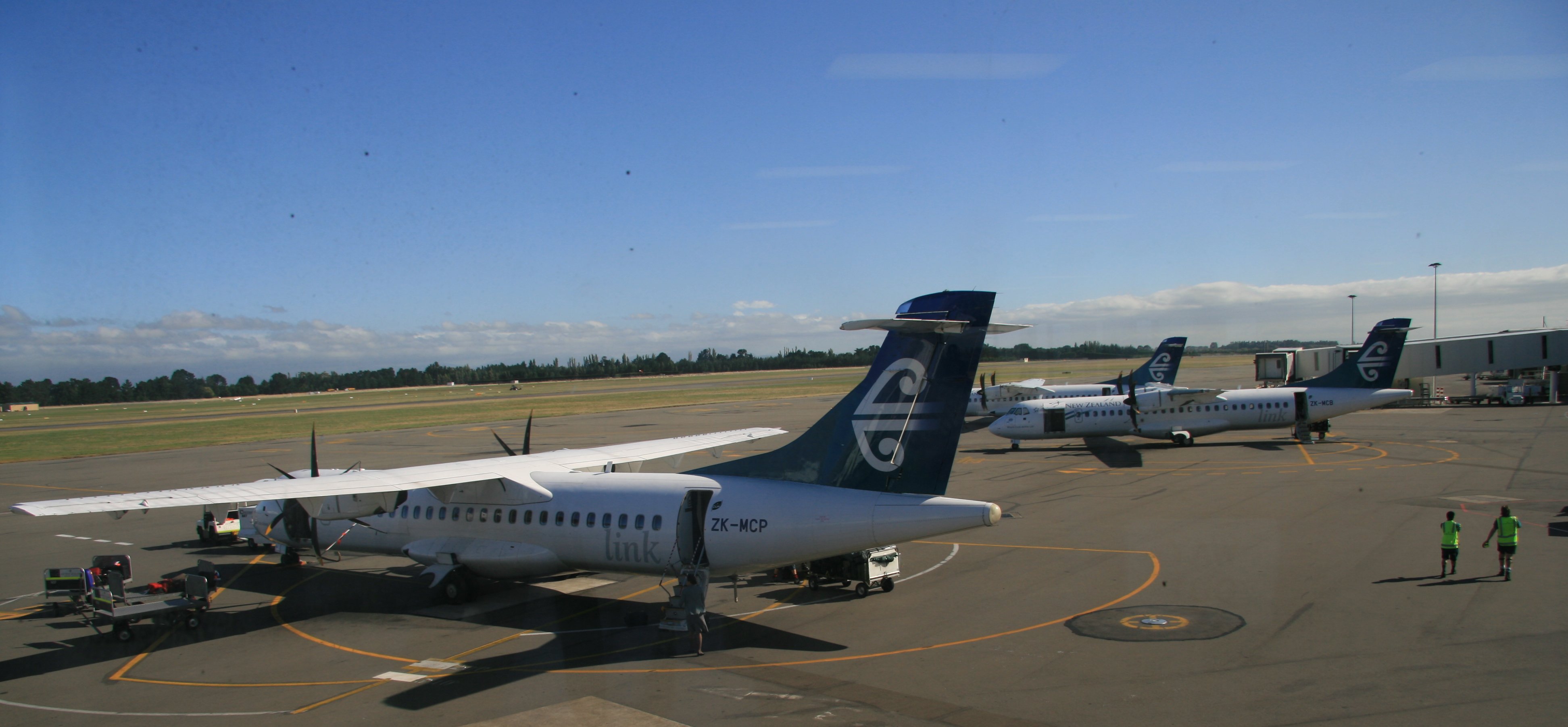
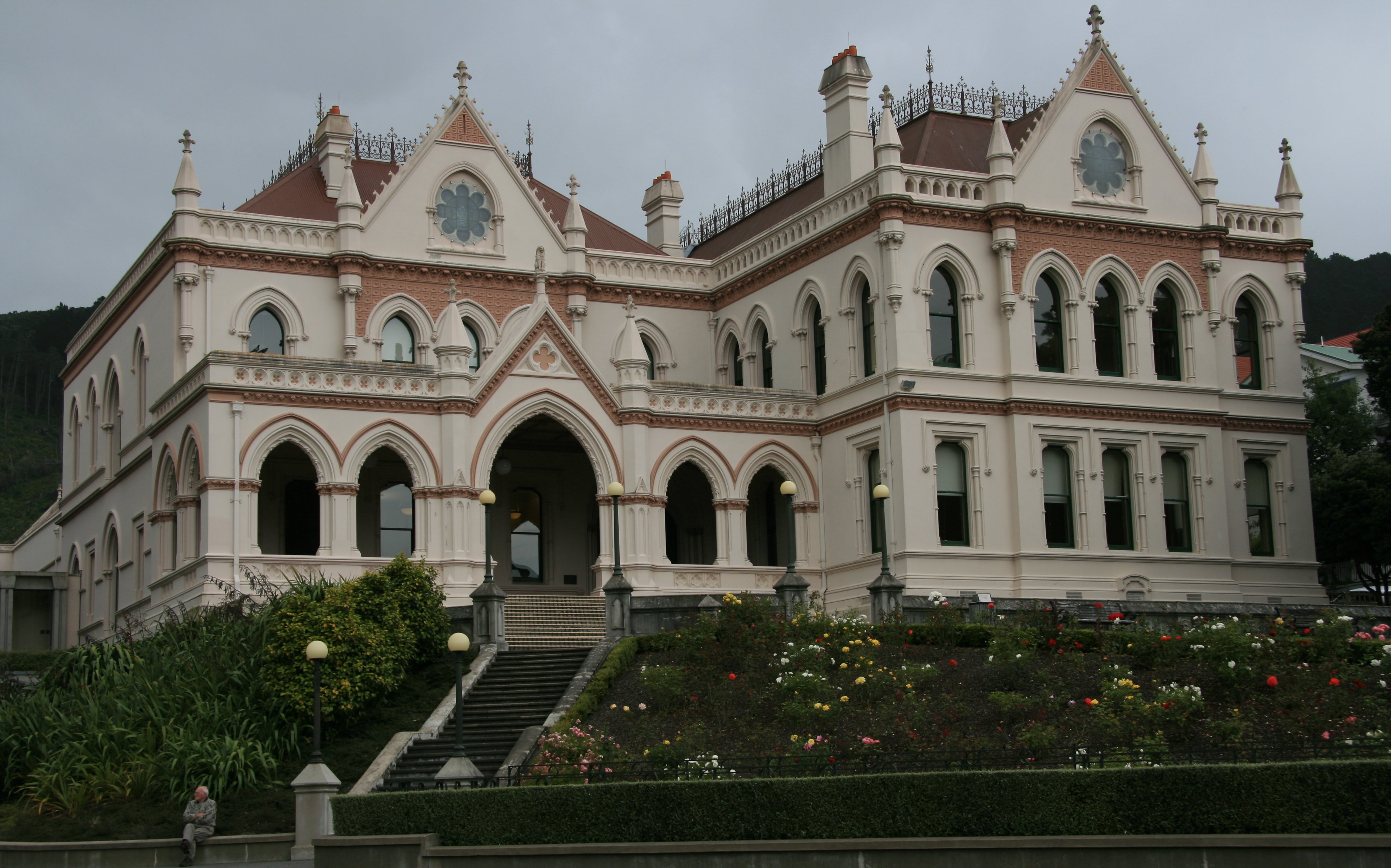
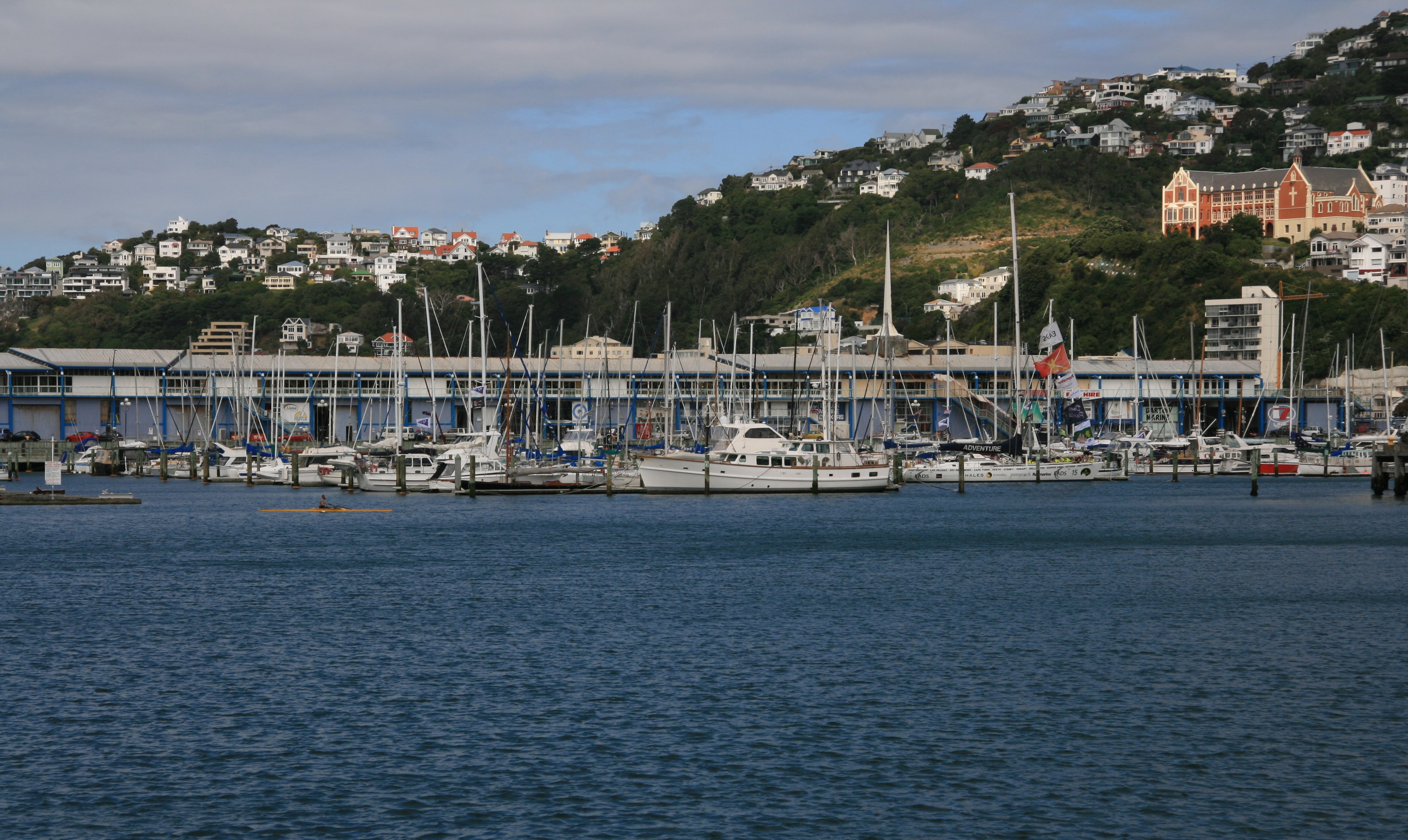
Hello Everyone, I left Queenstown this morning. I was surprised at how small the Queenstown Airport was. There wasn't even any airport security. I flew out of Queenstown on an Air New Zealand ATR. Below is are some pictures from the air between Queenstown and Christchurch on Air New Zealand flight #5376.   I changed planes at the Christchurch International Airport. I arrived here in Wellington by 11:00 am. Wellington is the capitol of New Zealand. This city is known for having some of the nastiest weather on earth. It is pretty nice today though. Was a little gloomy when I arrived and we had a brief shower around noon. But since about 2:00 it's been sunny and nice. I picked up my rental car and drove to my hotel, the Intercontinental, after my plane landed.  Below is my hotel room. 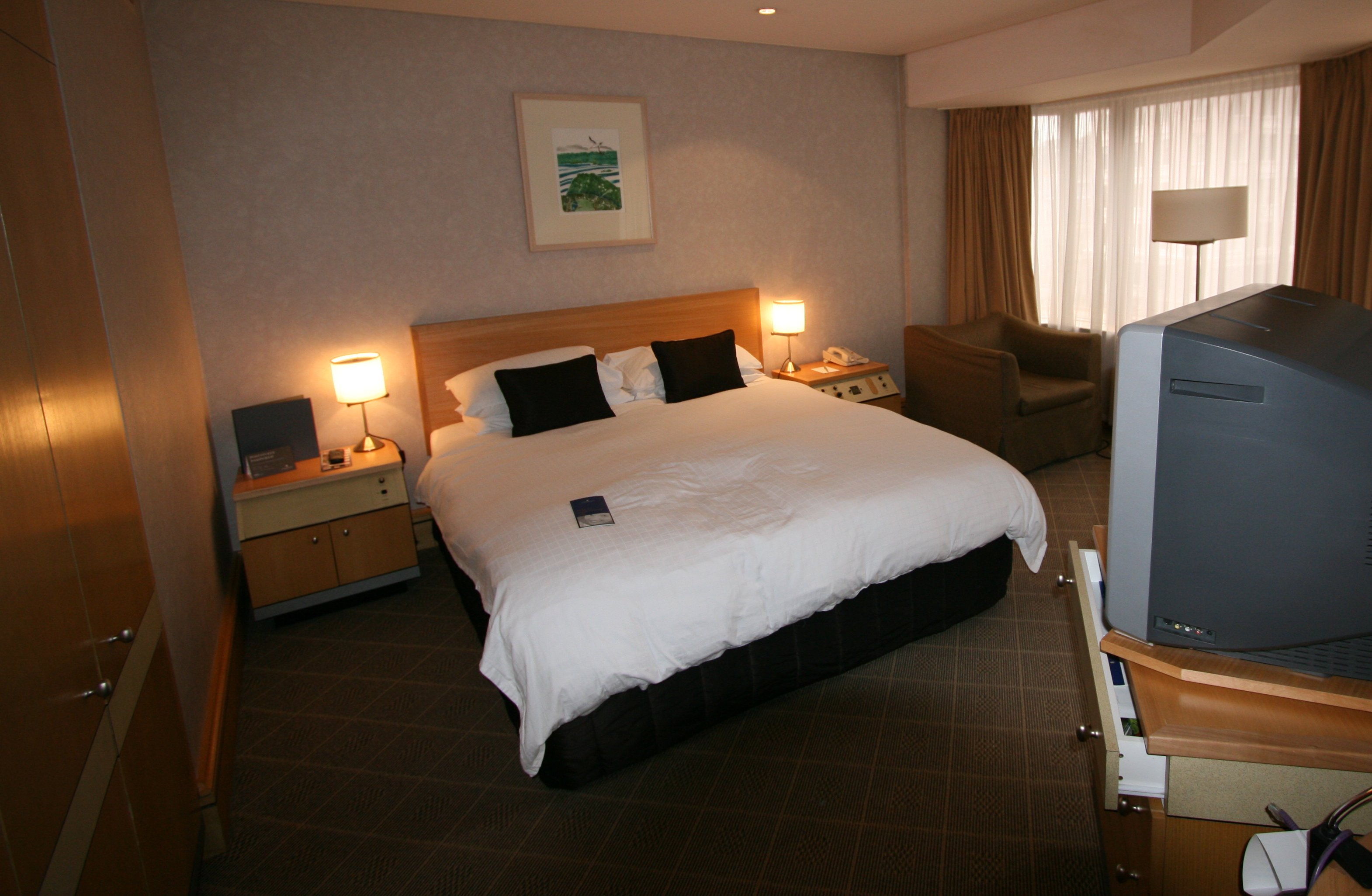 Below is more of my hotel room. Not much of a view, I'm looking out into another building. 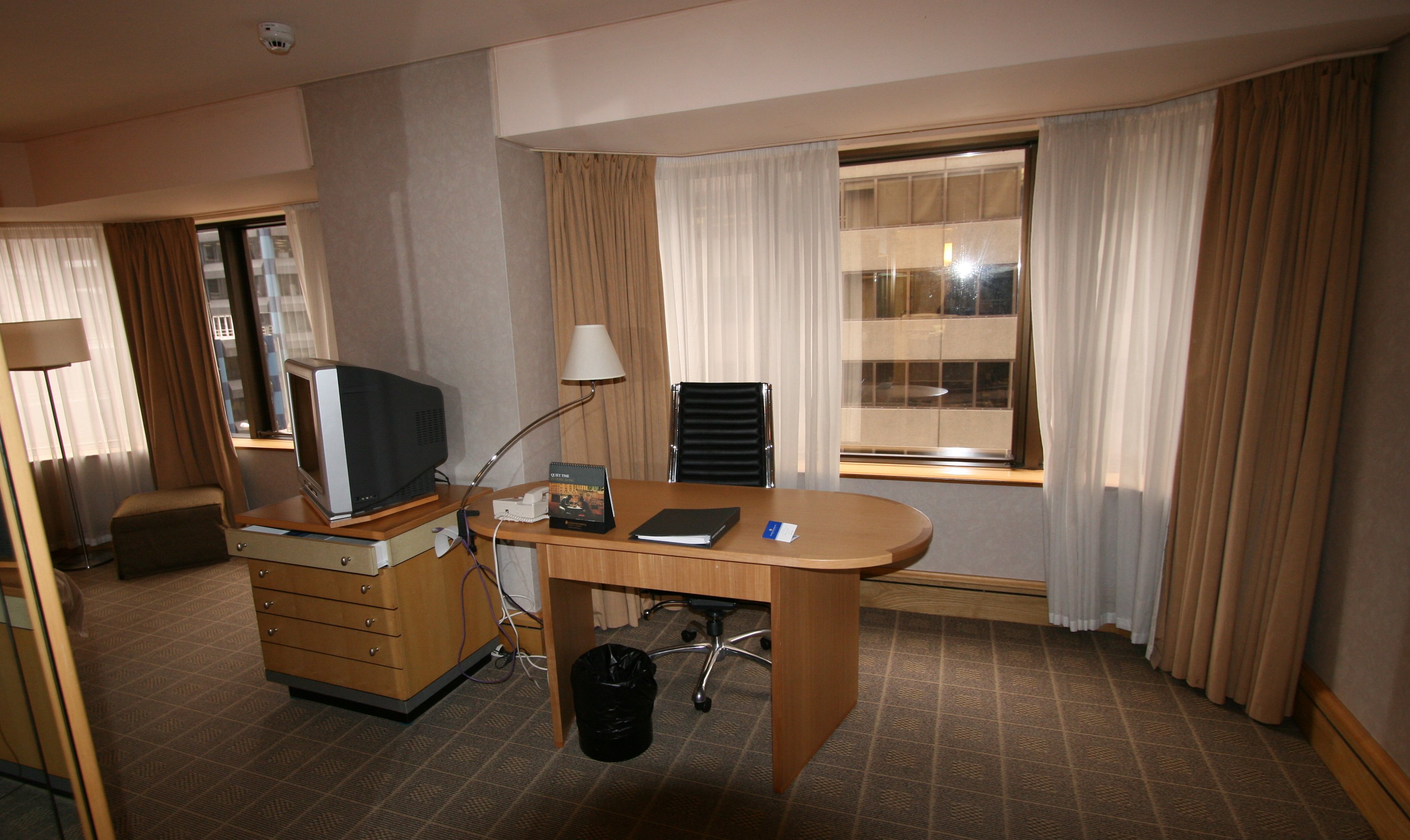 I spent my afternoon walking around the city. My hotel is right in the center of the downtown area and within easy walking distance of the harbour and the cable car. Below is the Wellington Cable Car. I actually went here twice. This was the first place I went after getting settled at the hotel. It was cloudy and gloomy then. But after I finished my walk around town it had cleared up, so I went back. The picture above was taken on visit #2 hence the blue sky, but the picture below was from my first visit, no blue sky. The Wellington Cable Car runs between Lambton Quay, the main shopping street, and Kelburn, a suburb in the hills overlooking the central city, rising 394 feet over a length of 2,008 feet. The one way trip takes approximately five minutes. The Wellington Cable Car is widely recognised as a symbol of Wellington. 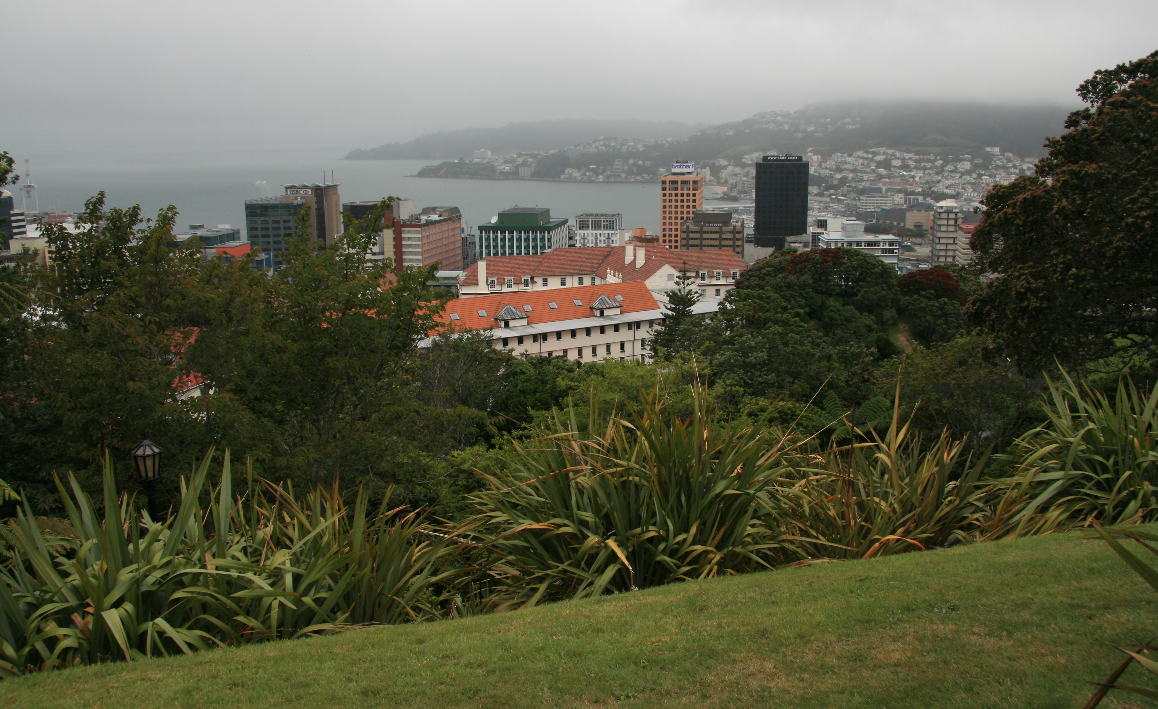 The area around the top of the cable car is very pretty.  After my journey on the cable car I started my walk around the city. Below are the Beehive (left) and Parliament House (right). Below is the Parliamentary Library. The picture below was taken along the Wellington Harbour. You can see the city's skyline behind the boaters below. The Wellington Harbour is a large natural harbour on the southern tip of New Zealand's North Island. It has been a wonderful vacation. I have really enjoyed almost everything I have done. But after being gone for a month now, I am starting to look forward to coming home. Not looking forward to going back to work though. I'm sure no one will mind if I take a few extra weeks off to recover.  Tim |
WEDNESDAY, JANUARY 24, 2007:
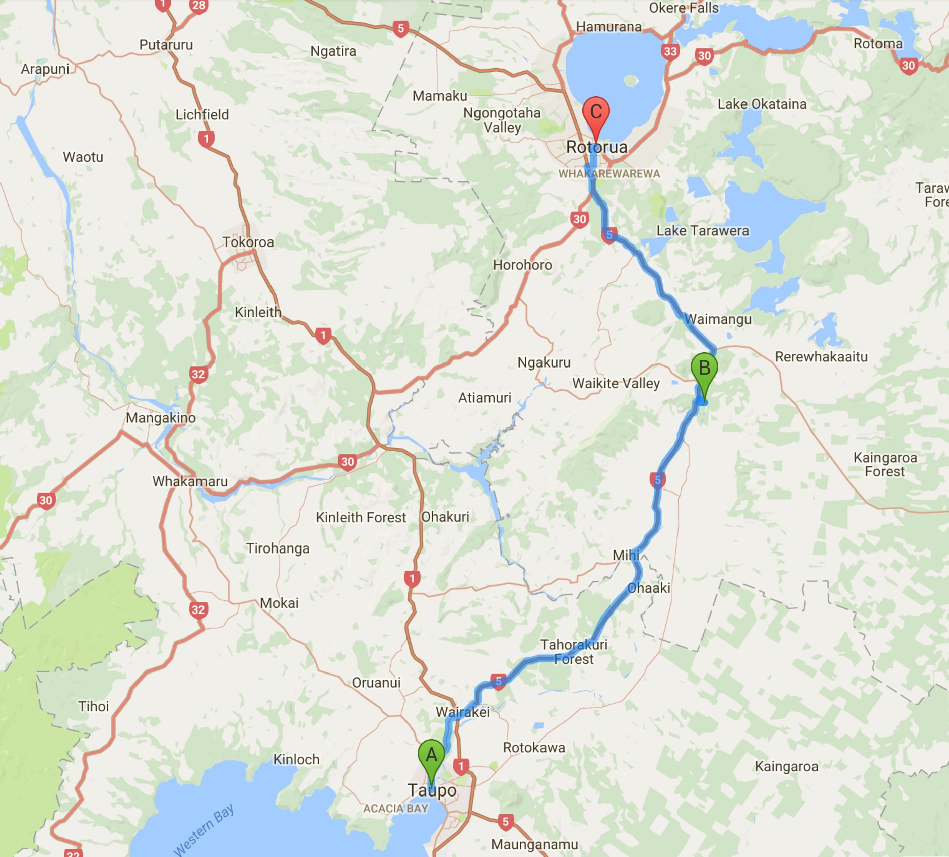
I drove 260 miles today traveling between Wellington and Taupo.
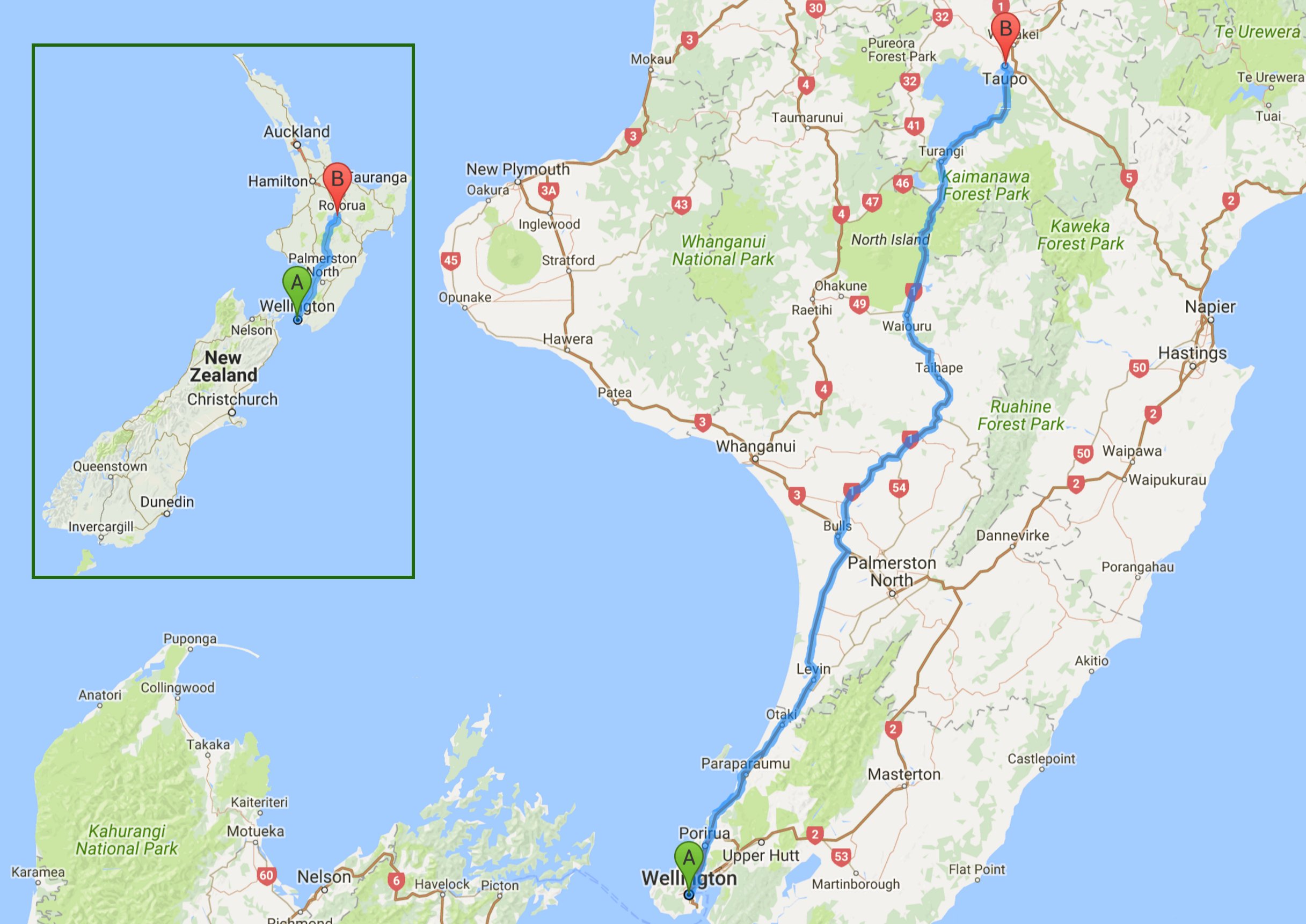
Wednesday I traveled to Taupo. It rained pretty much all day.

5 minute video of Taupo, New Zealand and Huka Falls. |
|
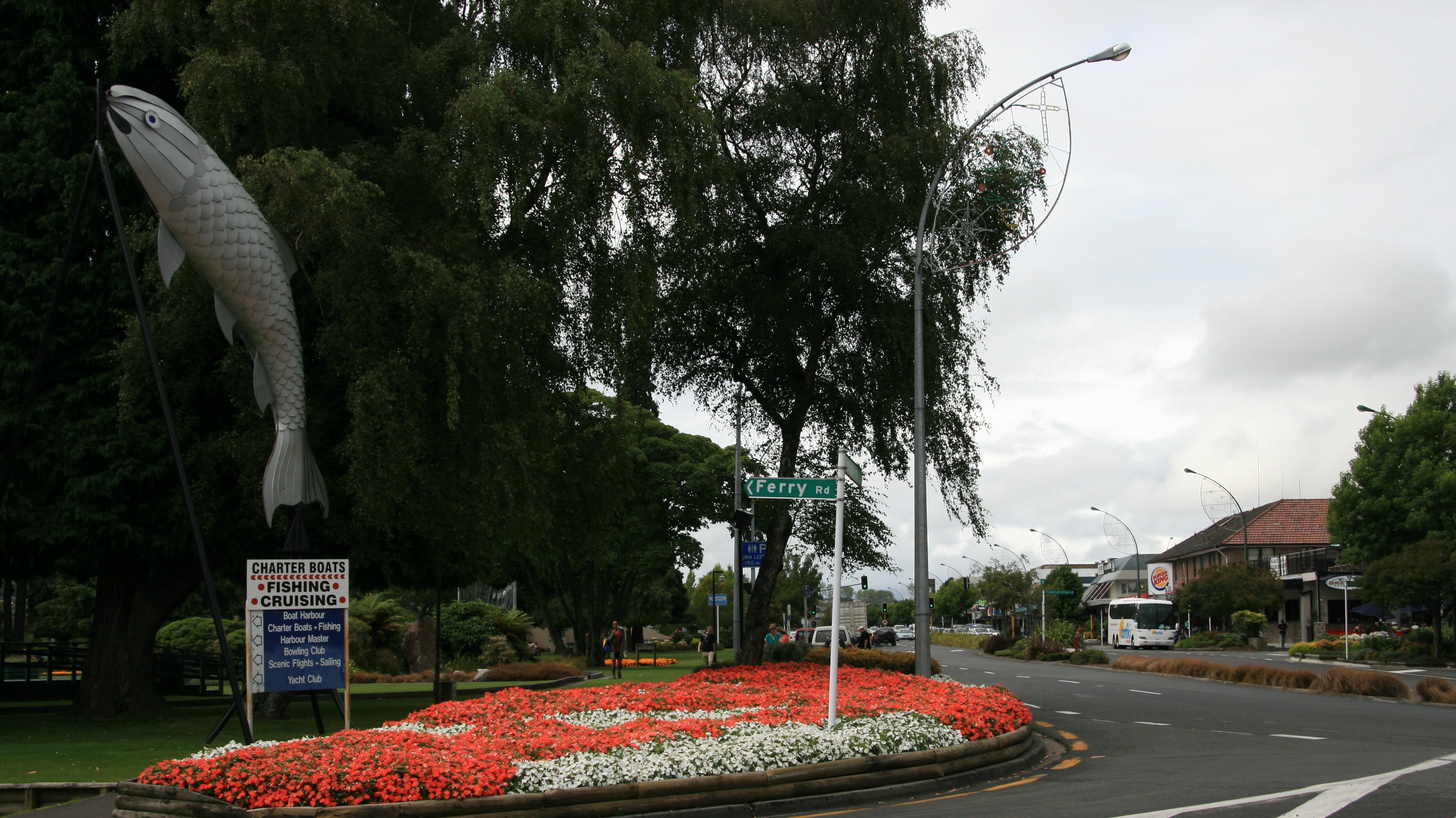
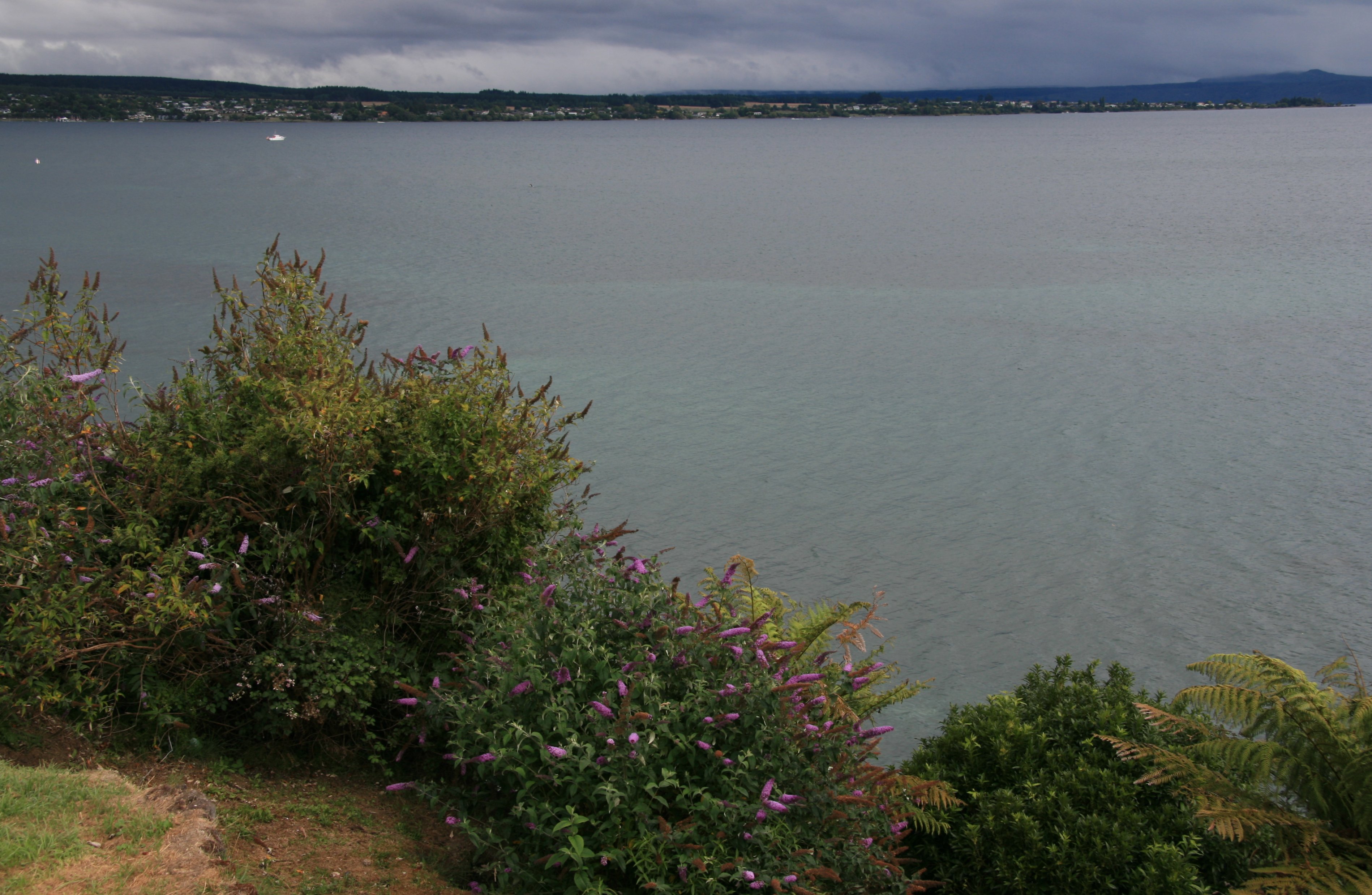
Hello Everyone, I had hoped that the North Island would be a little dryer than the South Island, but that does not seem to be the case. Today I drove 260 miles from Wellington to Taupo and it rained pretty much all the way. Below is Huka Falls, the main attraction here in Taupo. The Huka Falls are a set of waterfalls on the Waikato River that drains Lake Taupo. The volume of water flowing through often approaches 220,000 litres per second. I was going to do the Huka jetboat but I could see everything it did and decided to skip it. 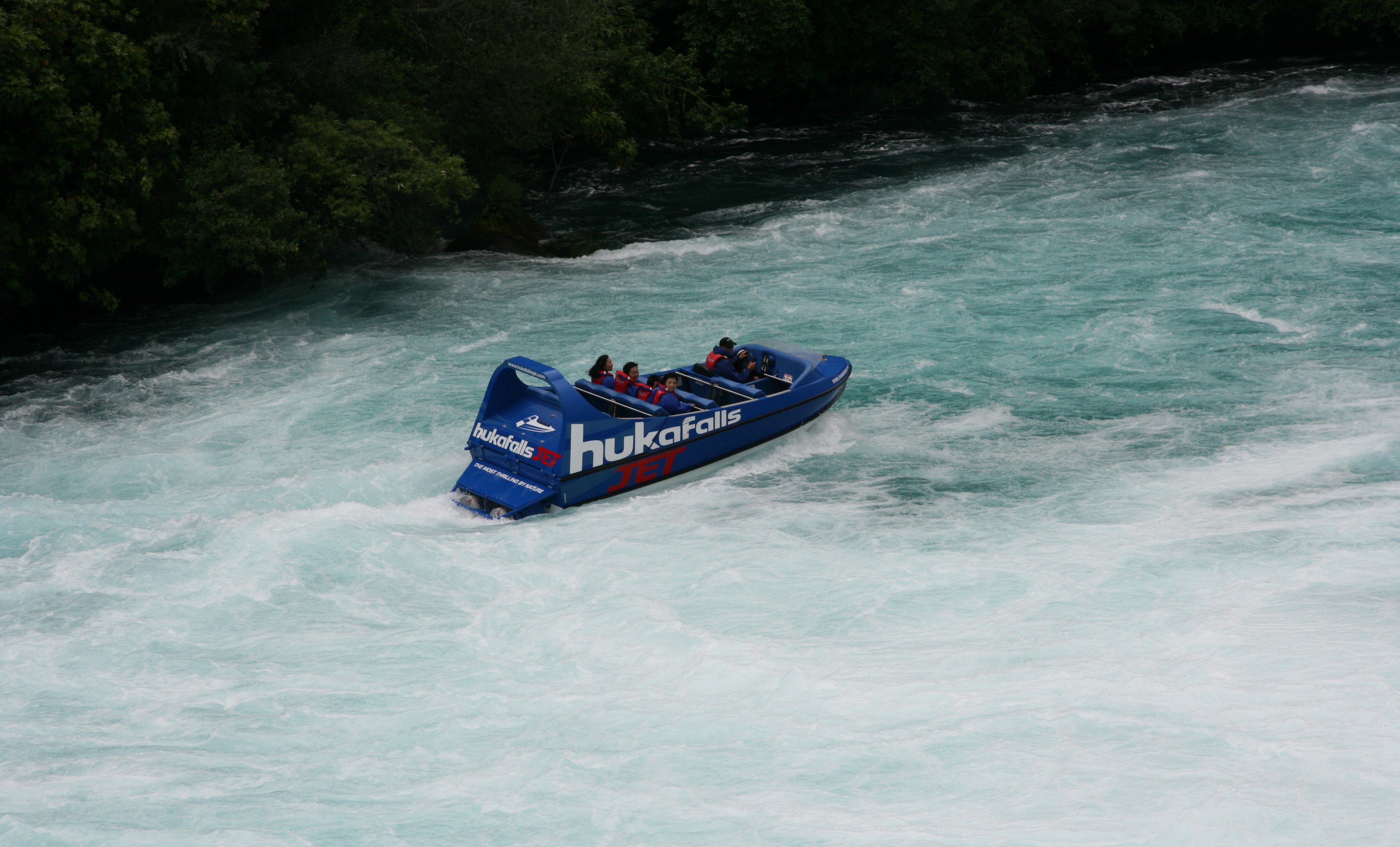 Below is a picture of the narrow canyon which I took from the tourist bridge. 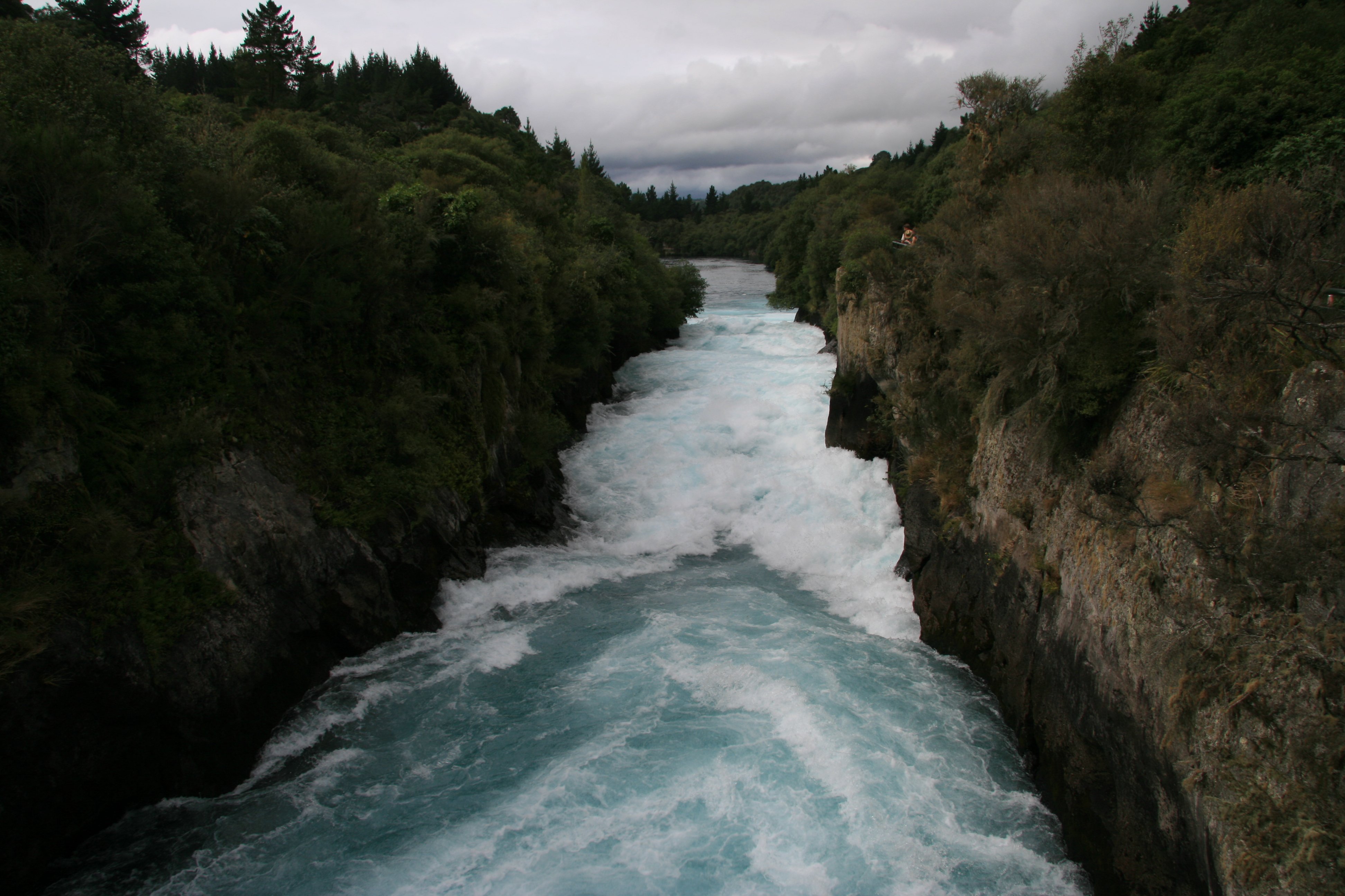 I checked into my hotel, the Wairakei Resort. 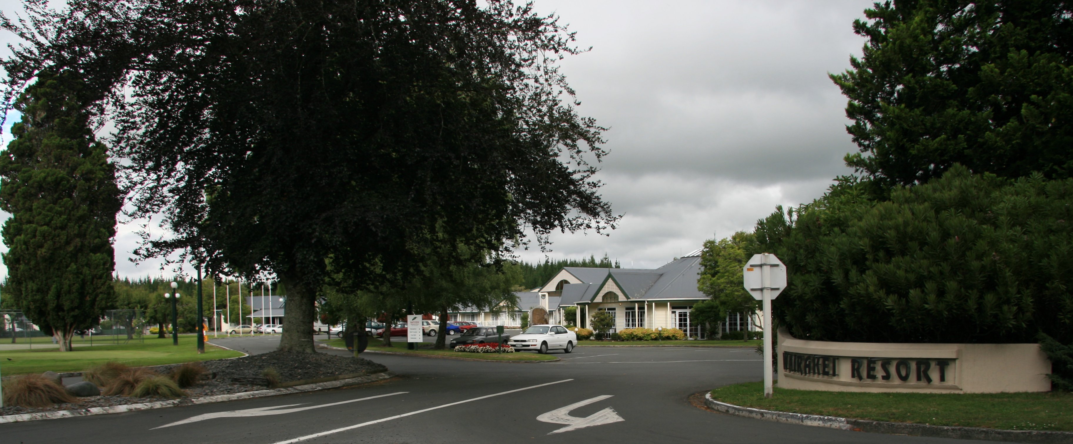 After getting settled at the hotel I explored the city a bit. I walked through the park. 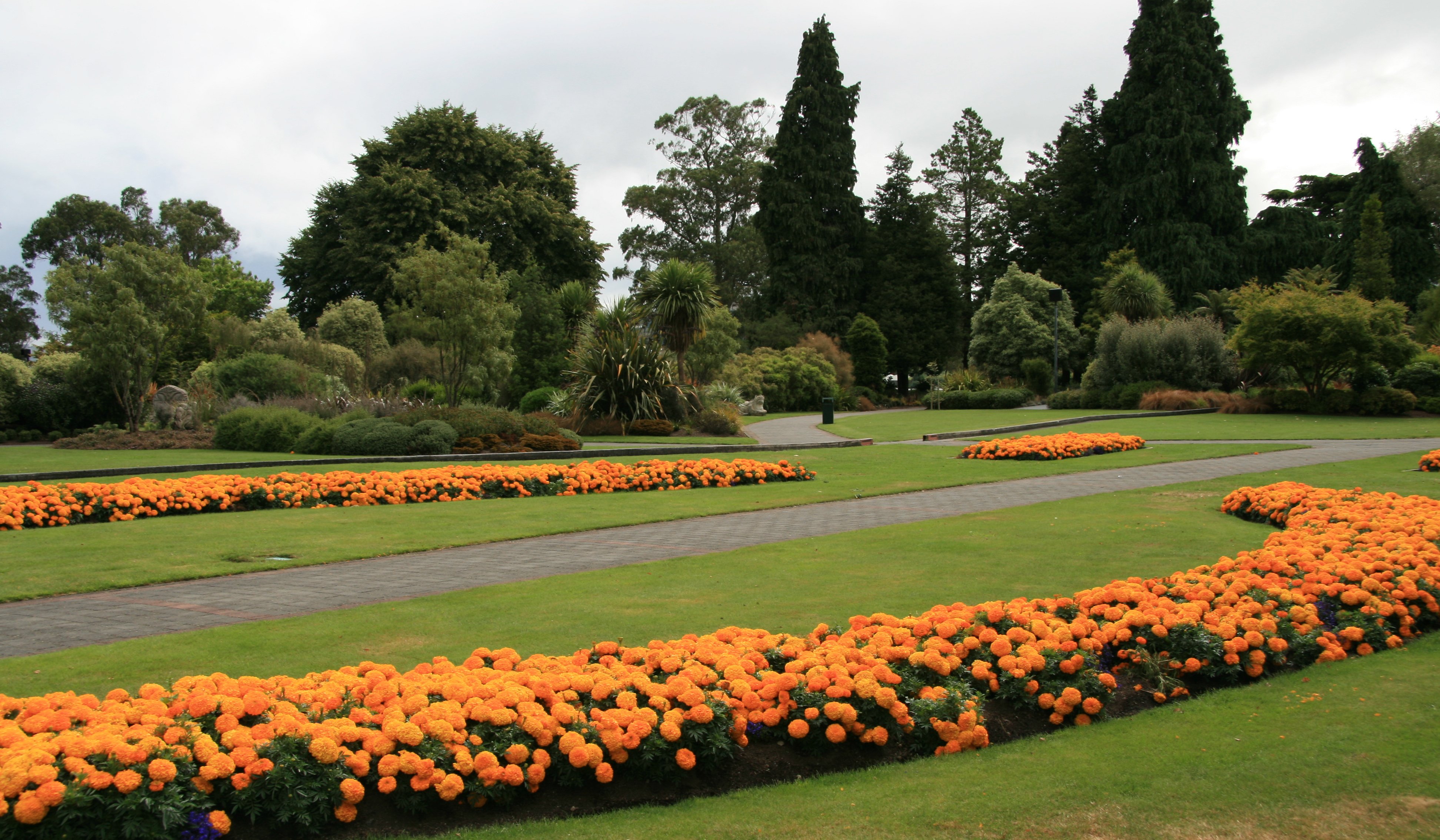 Taupo is a nice little town of around 20,000 people. Below is the giant trout sculpture in the center of town. The name Taupo, by which the town is commonly known, is the shortened version of its full name, Taupo-nui-a-Tia. Literally translated from Maori language, Taupo-nui-a-Tia means "The great cloak of Tia", where Tia is the name of the discoverer of the lake. 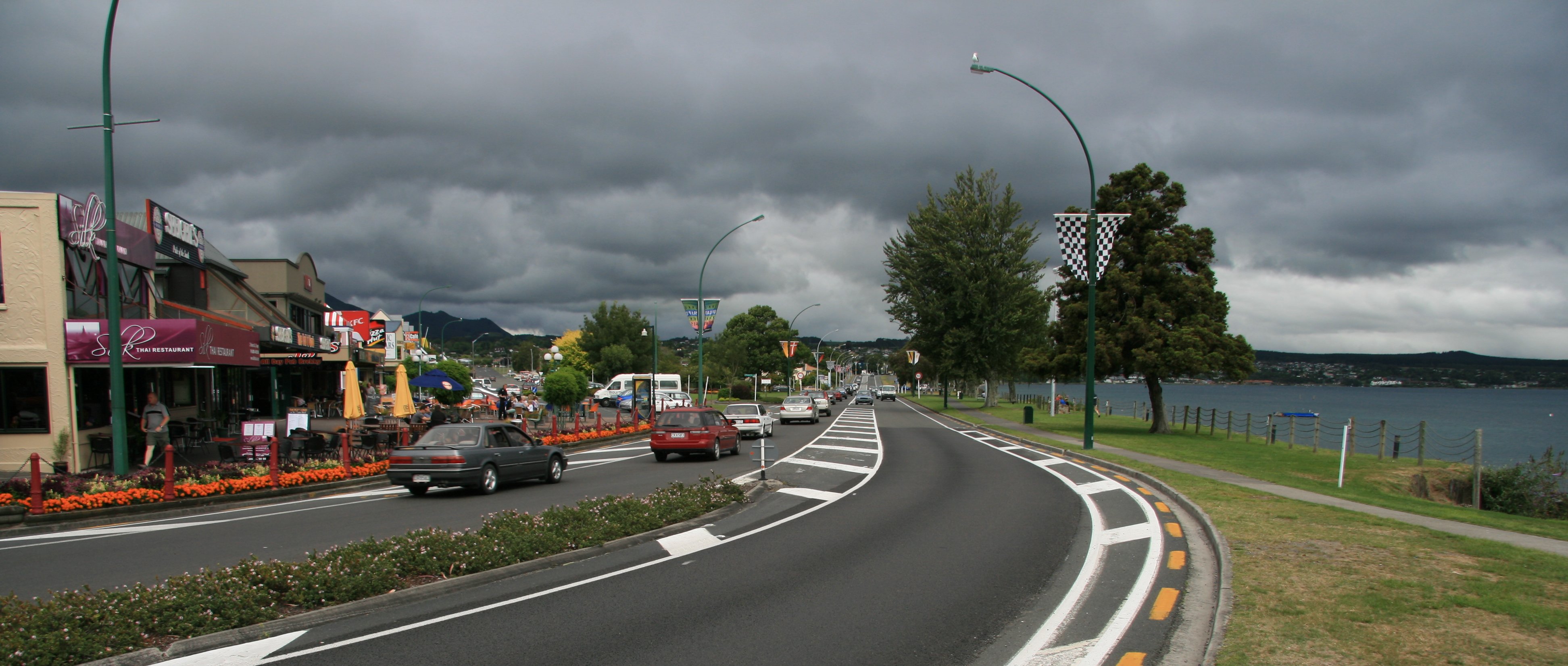 Below is Lake Taupo which is the largest lake in New Zealand. And I saved the picture of Taupo's greatest landmark for last.  Tim |
THURSDAY, JANUARY 25, 2007:
I drove 52 miles today traveling between Taupo and Rotorua.
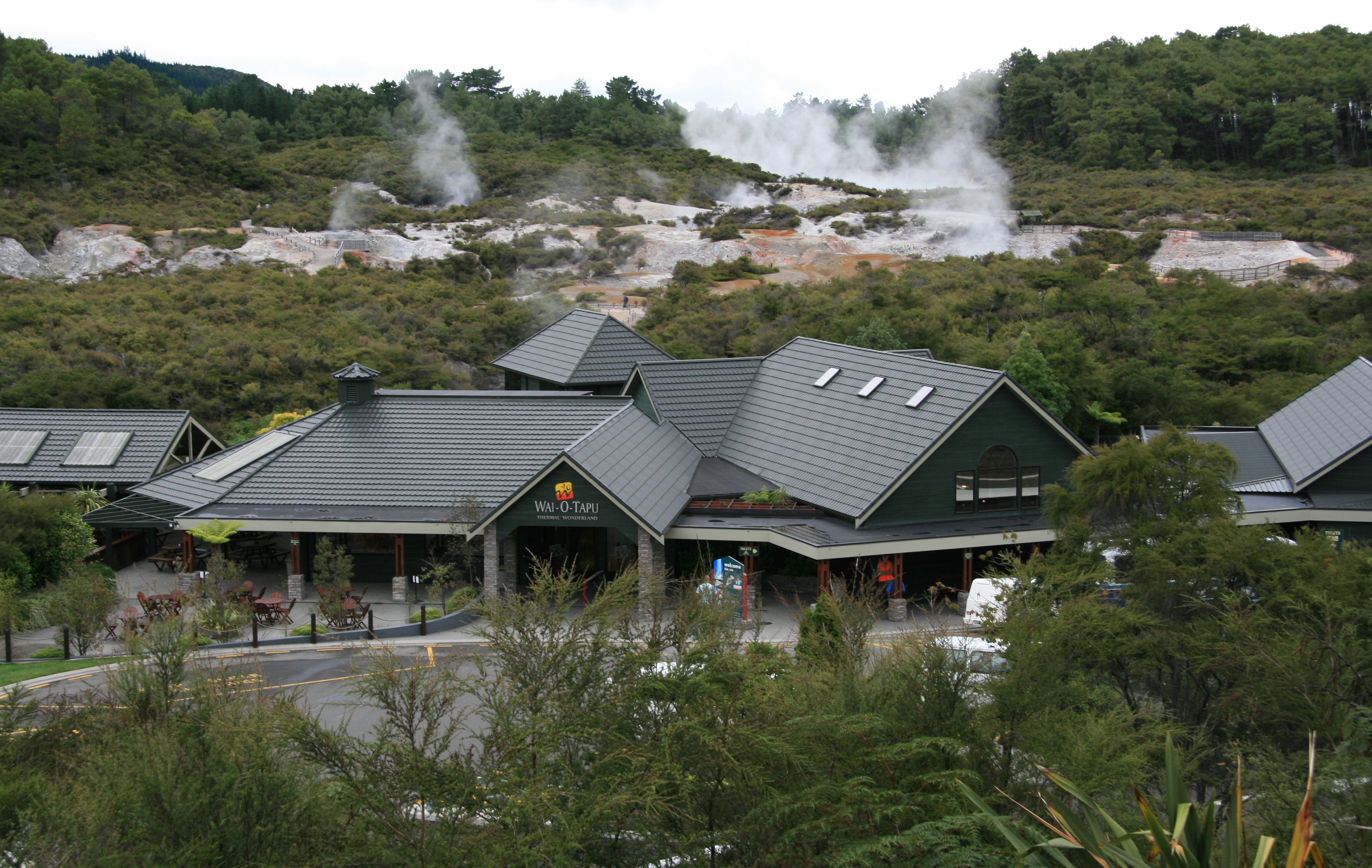
I began my Thursday at Wai-O-Tapu, the thermal wonderland.

9 minute video of the geothermal area on the North Island of New Zealand. |
It was a short drive to Rotorua where I would spend my last night in New Zealand.
4 minute video of Rotorua, New Zealand from the Skyline Gondola. |
|
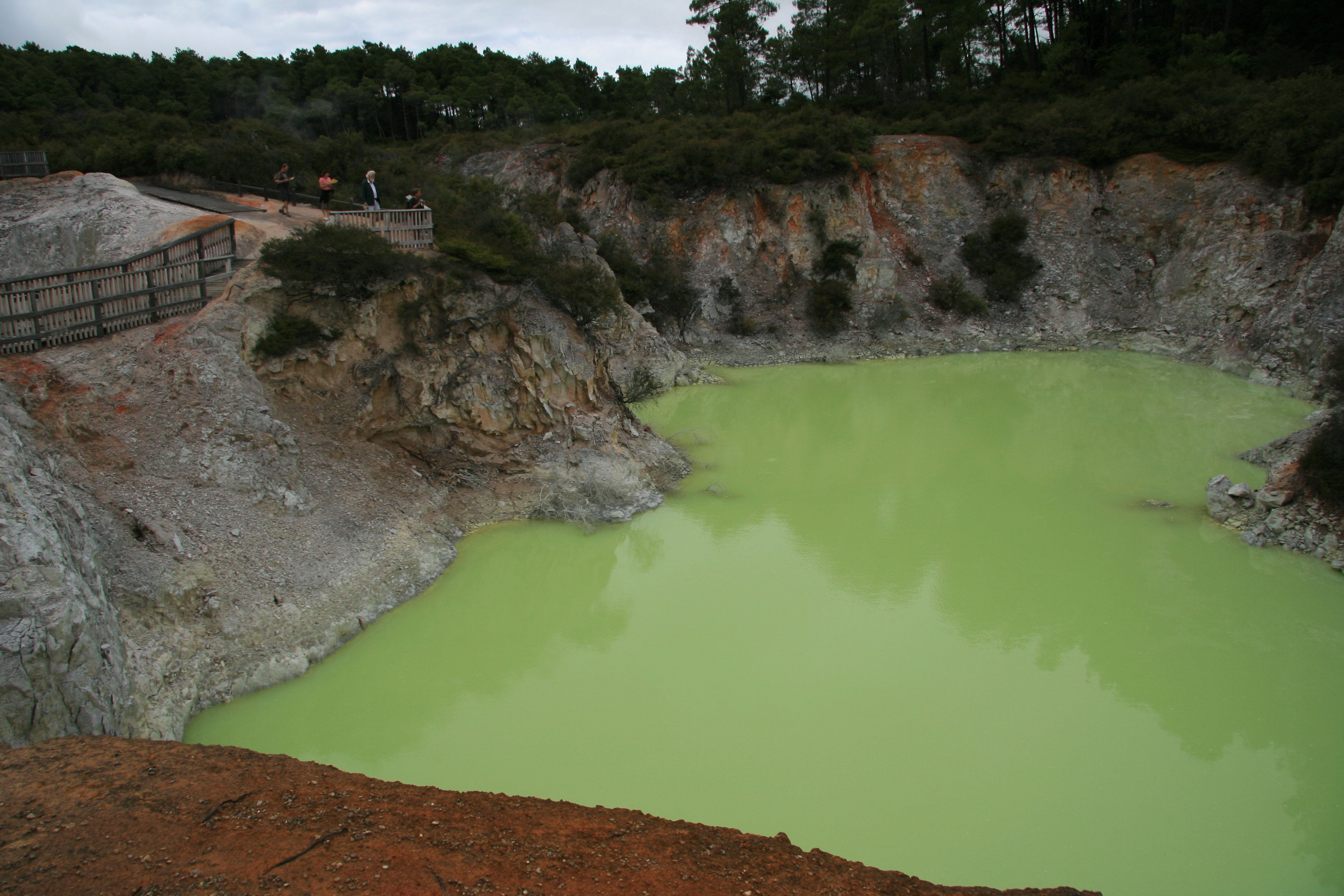
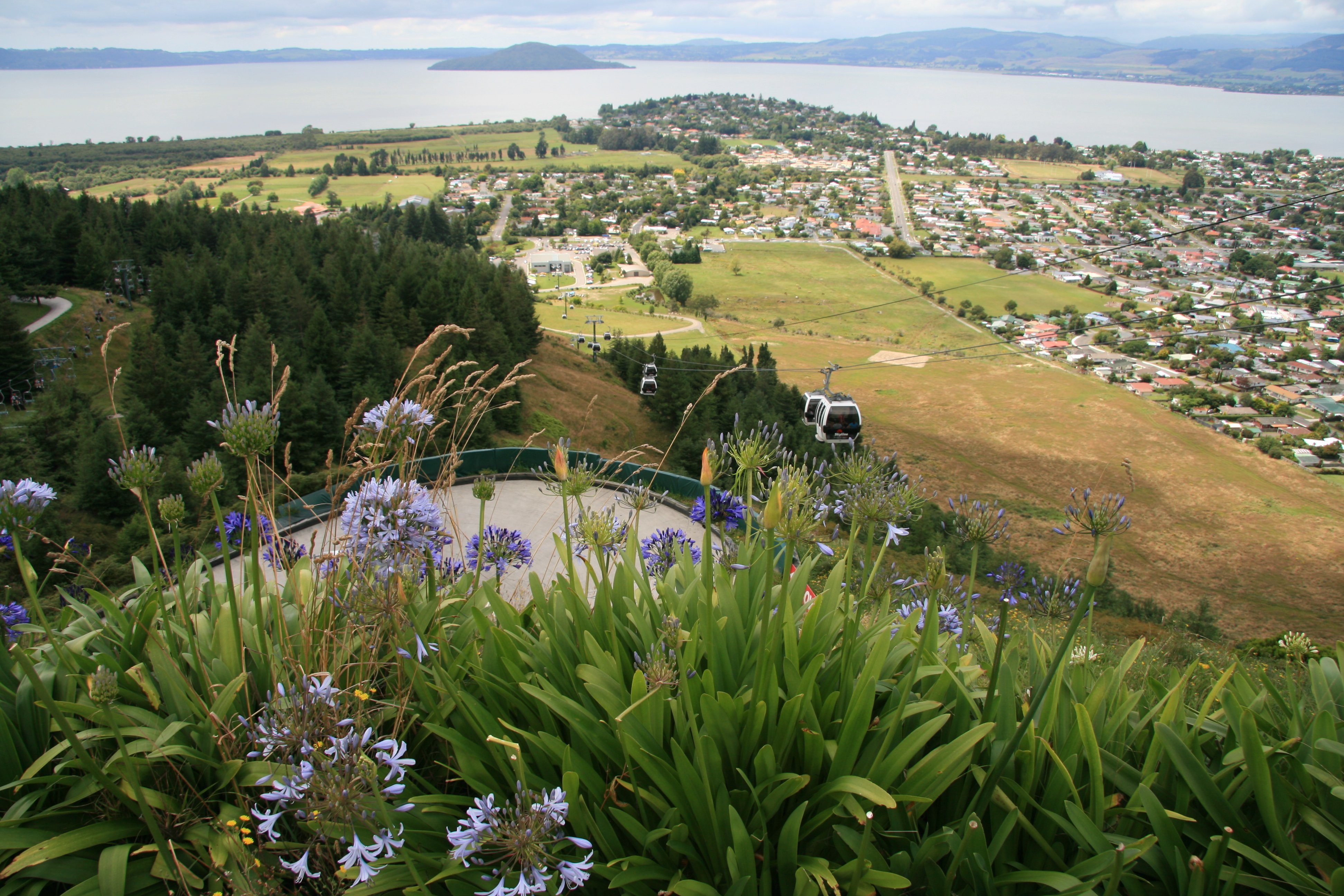
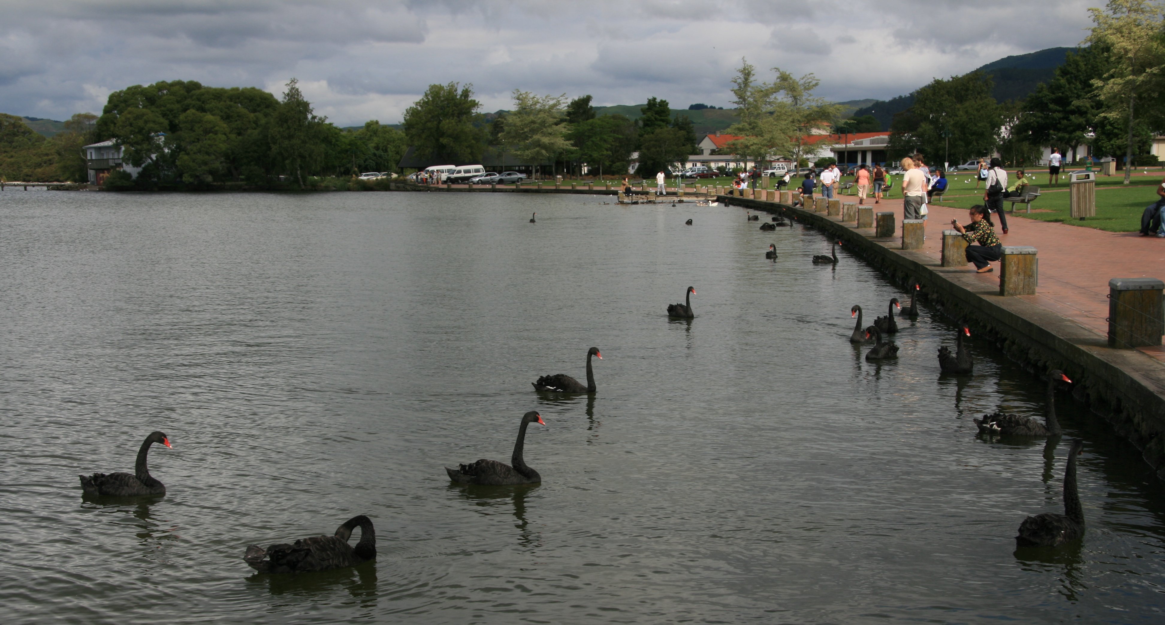
Hello Everyone, I didn't cover much ground today. Where I'm staying tonight is only 50 miles from where I stayed last night in Taupo. I spent this morning at Wai-O-Tapu, the thermal wonderland. Waiotapu (Maori for "sacred waters") is an active geothermal area at the southern end of the Okataina Volcanic Centre, just north of the Reporoa caldera. 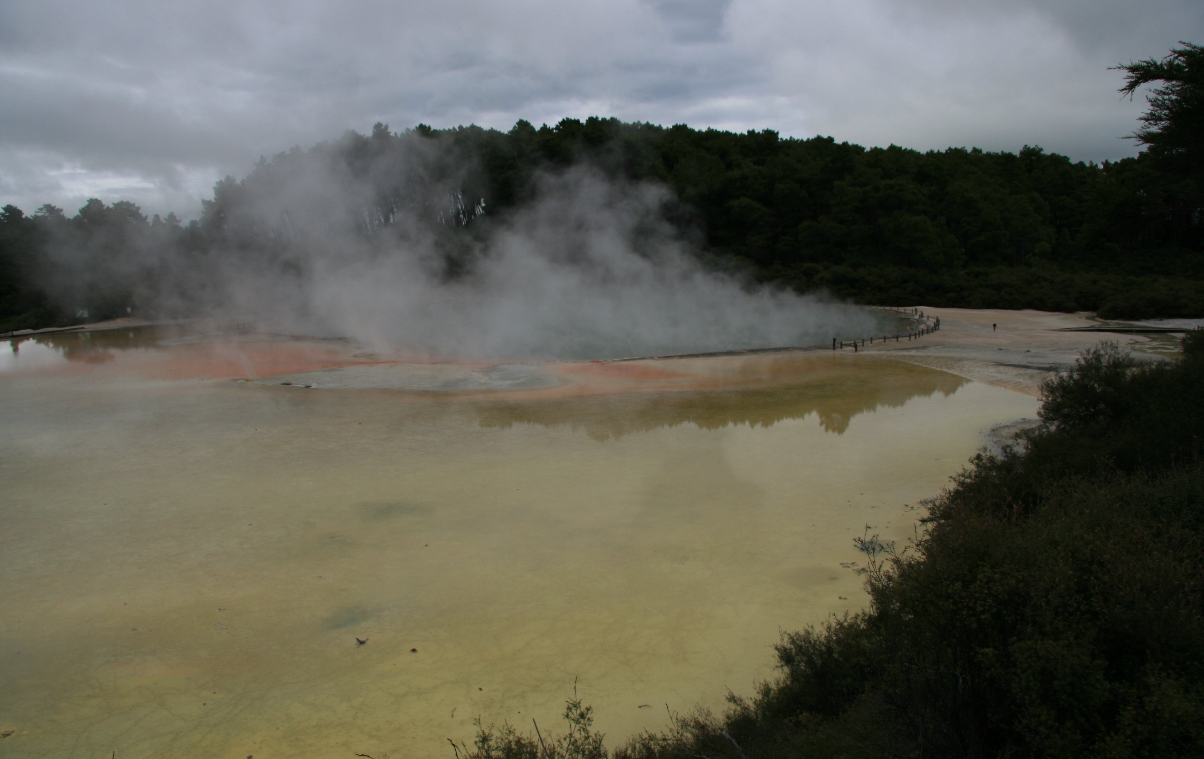 Due to dramatic geothermal conditions beneath the earth, the area has many hot springs noted for their colourful appearance. Below is Devil's Bath. Below is the Lady Knox Geyser. The geyser is induced to erupt daily at 10:15am by dropping a surfactant into the opening of the vent. Below is me at Wai-O-Tapu. 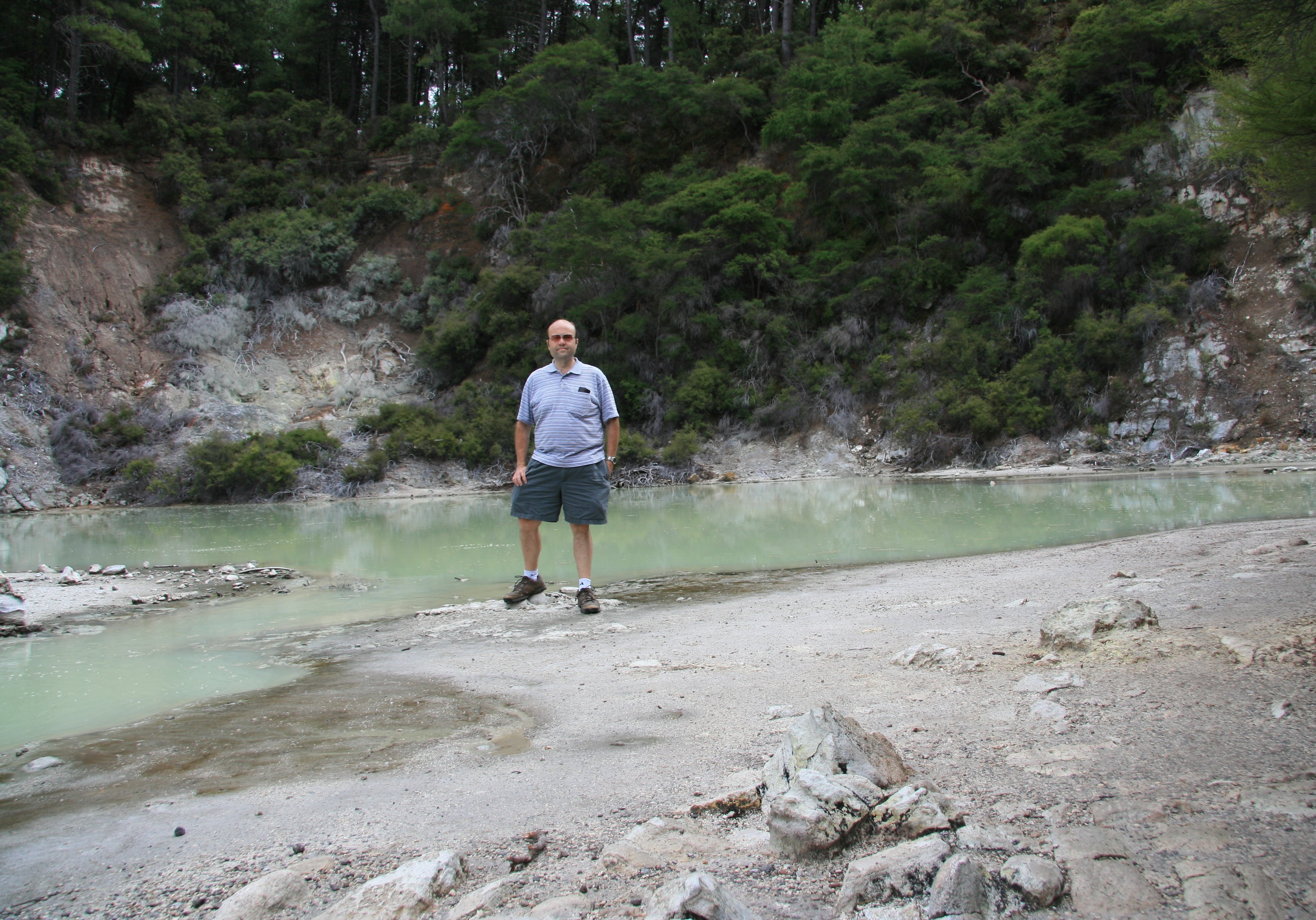 After leaving Wai-O-Tapu it was only about 15 more miles to Rotorua where I rode the gondola.  The Skyline Gondola is set high on the side of Mount Ngongotaha with extensive views of Rotorua city and lake. There are a lot of activities at the top of the gondola, below is the luge.  I am staying at the Royal Lakeside Novotel across from the lake. Lake Rotorua is the second largest lake on the North Island. This is my last night in New Zealand. I start my long flight home in about 24 hours.  Tim |
FRIDAY, JANUARY 26, 2007:
I drove 155 miles today traveling between Rotorua and Auckland.

It rained hard most of the way to Auckland, but once I arrived it cleared up.
I drove to downtown and went up the Sky Tower before heading to the airport for my flight back home.


It was a fantastic 34 days and I am now looking forward to June and my cruise to Alaska.

2 minute video of Auckland, New Zealand from the Sky Tower. |
|
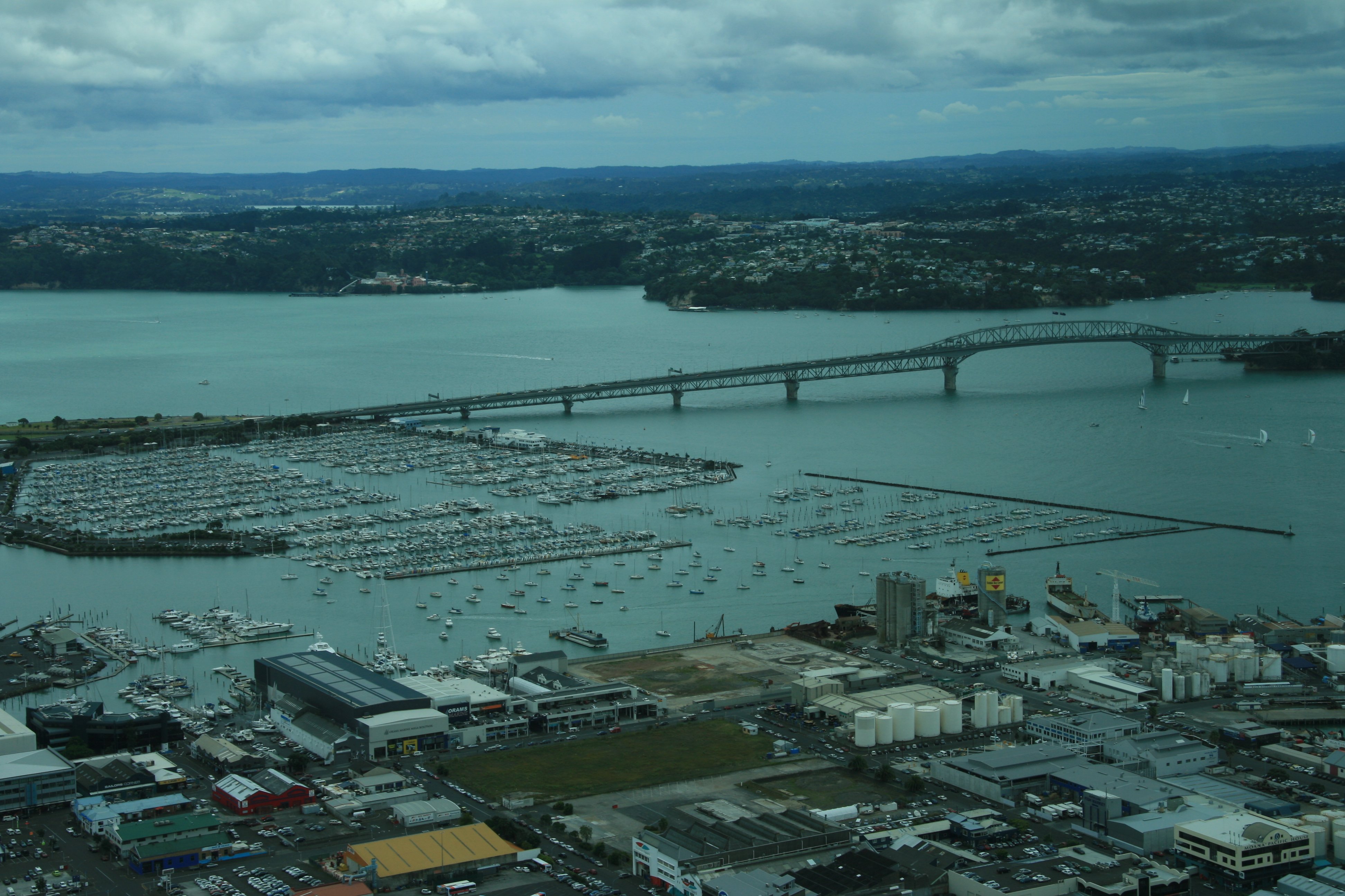
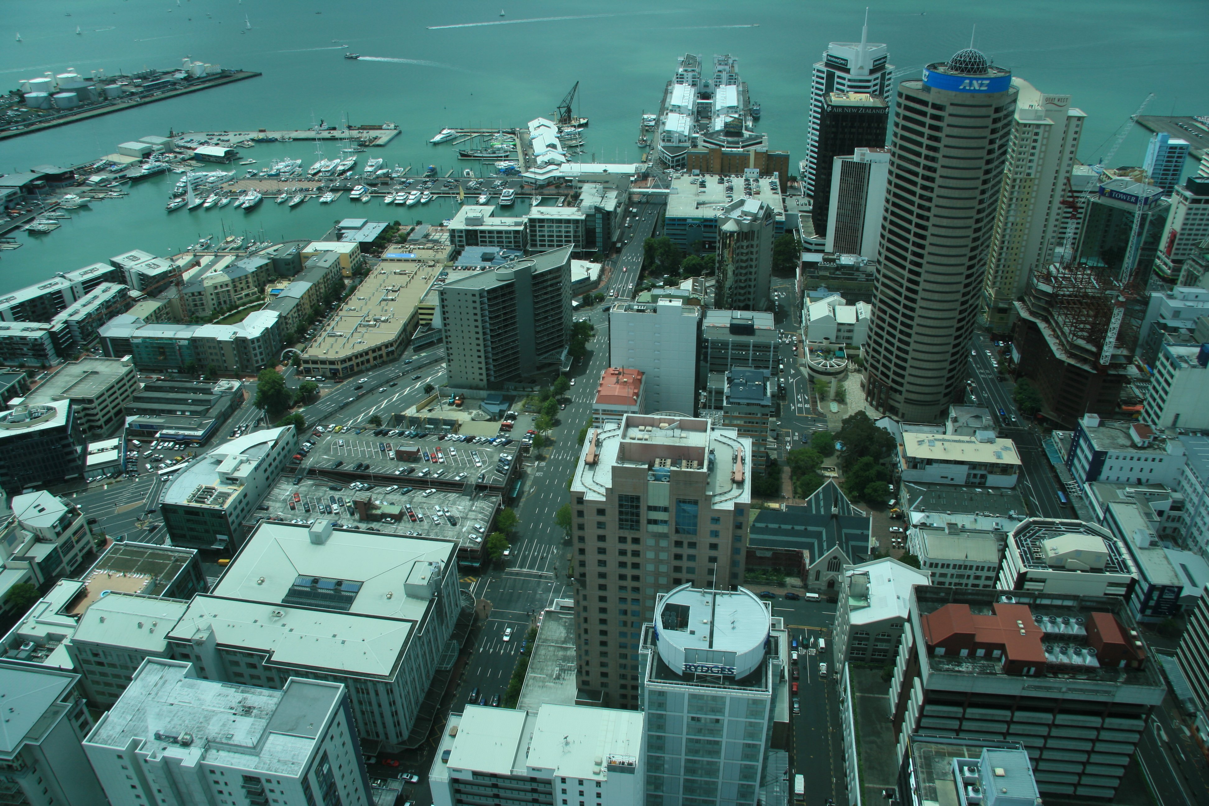
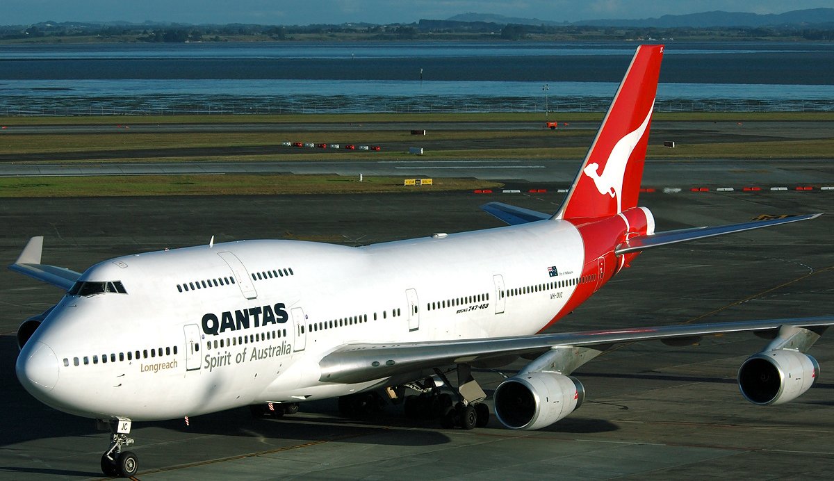
Hello Everyone, It was about a 150 mile drive to Auckland this morning. I know I have done a lot of complaining about the weather down here, but it really rained hard today for almost the entire drive. But thankfully it stopped just before I reached Auckland. The first thing I did when I got to town was go up the Sky Tower. The Sky Tower is an observation and telecommunications tower. It is 1,076 feet tall making it the tallest freestanding structure in the Southern Hemisphere. The picture below was taken at the top of the tower looking out toward the Harbour Bridge. Auckland is the most populous urban area in the country. Auckland has a population of 1.4 million people. The picture below is looking toward the harbour where the cruise ships dock. I took a short walk around the city after coming down from the tower. That is the Ferry Building in the picture below. I am now at the airport waiting for my flight home. I got here way early. I'm flying to Los Angeles on Qantas and then American from LAX to Indianapolis. I have to change planes in Dallas. Thanks for putting up with my emails. Next trip is this summer in Alaska. Tim |
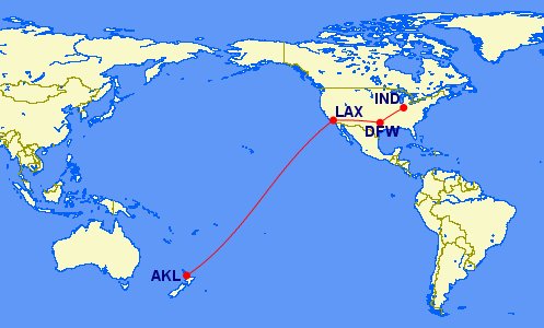
I flew 8300 miles traveling between Auckland and Indianapolis.
55 minute complete video of my entire visit to New Zealand. |
Click the banner below for my next vacation in five months.

| TIM'S HOME PAGE SITE INDEX | |||
|---|---|---|---|
| Areas | Description | # of Pages | |
| About Me | Current Picture of me and my home. Information about myself. | 2 | |
| Biography | Pictorial biography of myself. Pictures range from birth to adulthood. | 4 | |
| Family File | Pictures of my family and a little information about them. | 12 | |
| Local Spotlight | Pictures, Links, and Information for Indianapolis, Richmond, Plainfield, and Mooresville, Indiana. | 6 | |
| Tim's Travels | Pictures, videos and travelogs from my travels around the world. | 409 | |
| Vacation Videos | Over 1500 videos from my travels around the world. | 1 | |