MONDAY, JULY 14, 2014:

Today I traveled 302 miles on my journey from Colorado Springs to Cheyenne, Wyoming.


This morning I said goodbye to my sister and hit the road on my own.
The first hundred or so miles was the same route as Saturday morning.
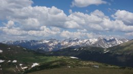
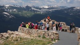
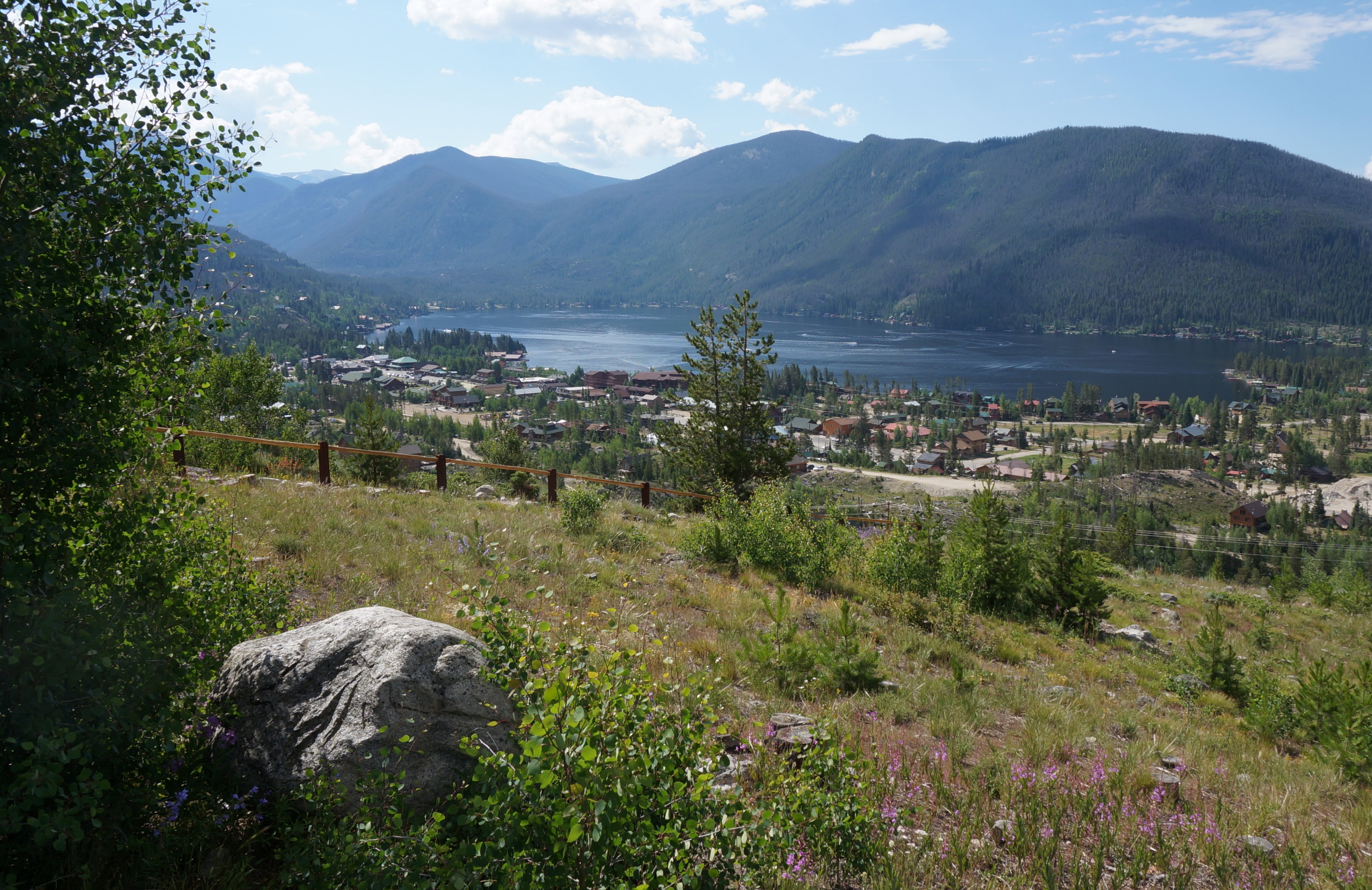
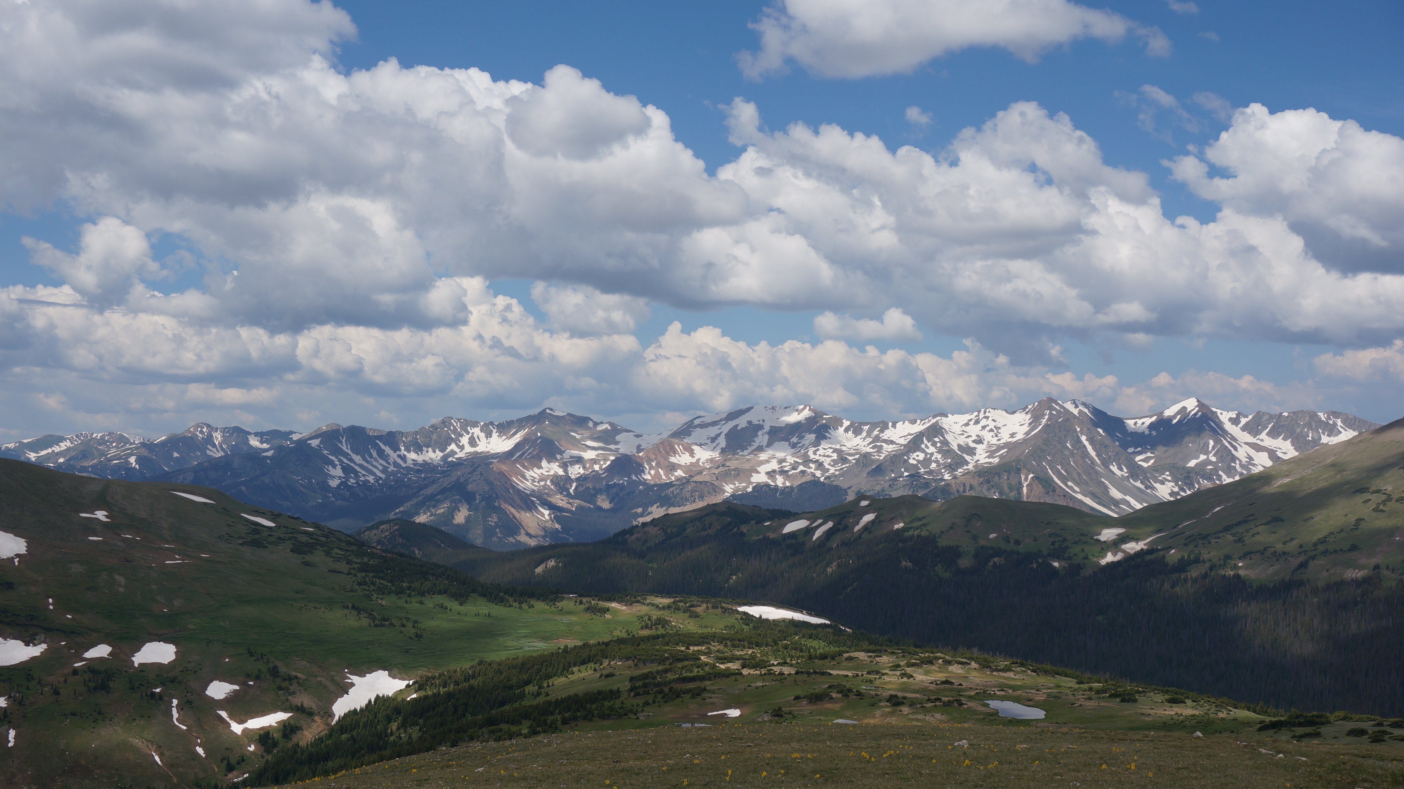
I entered Rocky Mountain National Park at the Grand Lake entrance.
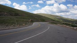
I traveled on Trail Ridge Road (U.S. 34) through the park
which reaches an elevation of 12,183 feet.

All of the images below are thumbnails and can be clicked on for a larger image.

Grand Lake just inside Rocky Mountain National Park Rocky Mountain National Park Medicine Bow Curve in Rocky Mountain National Park

The weather was nice as I entered the park but it quickly clouded over and began to rain.
Rocky Mountain National Park Forest Canyon Overlook in Rocky Mountain National Park Rainbow Curve in Rocky Mountain National Park

The video below is 24 minutes long of Rocky Mountain National Park.

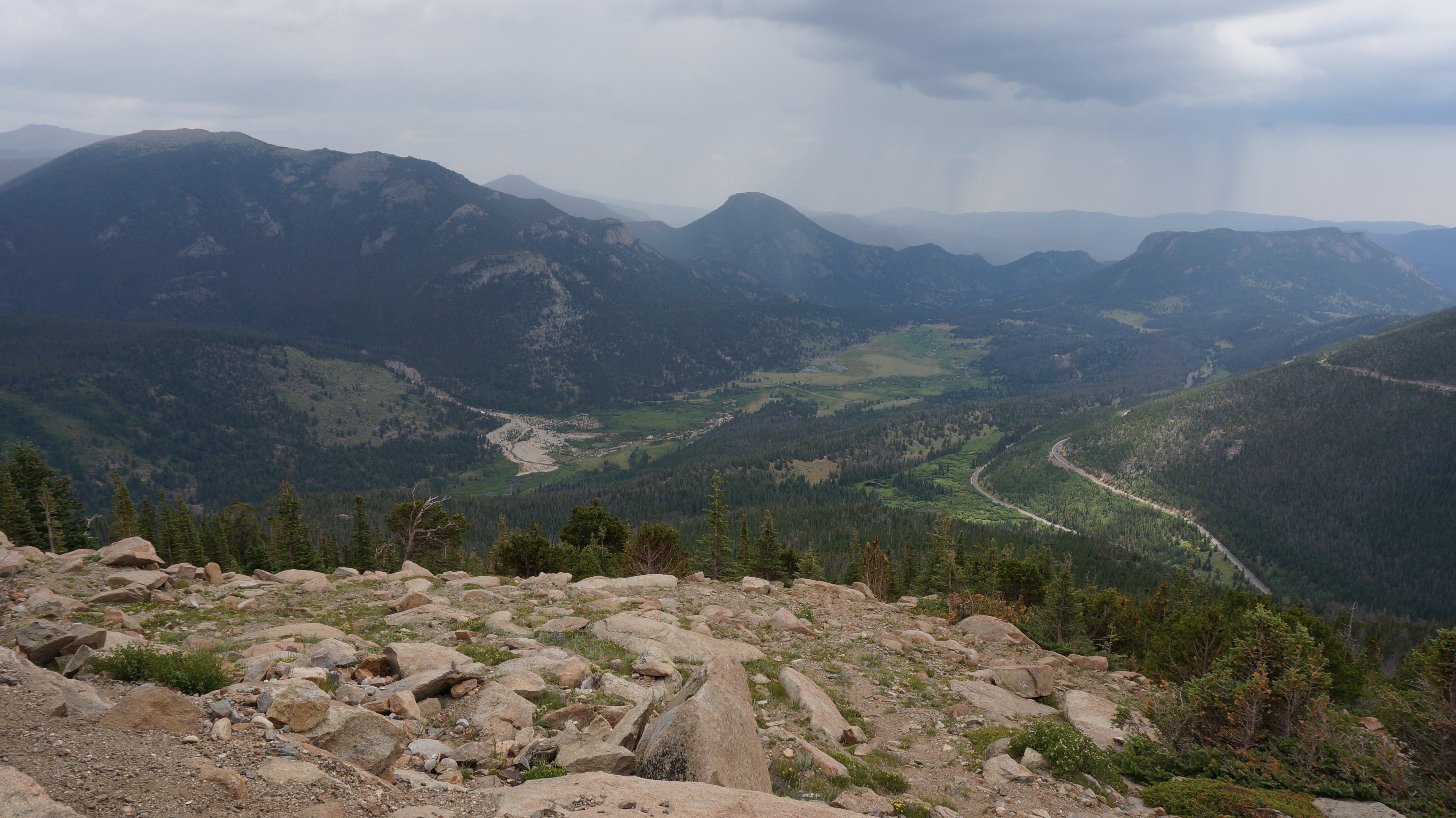
I exited the park in Estes Park.
Since it was pouring rain in Estes Park I didn't get to do anything there.
I drove through Big thompson Canyon over to I-25.
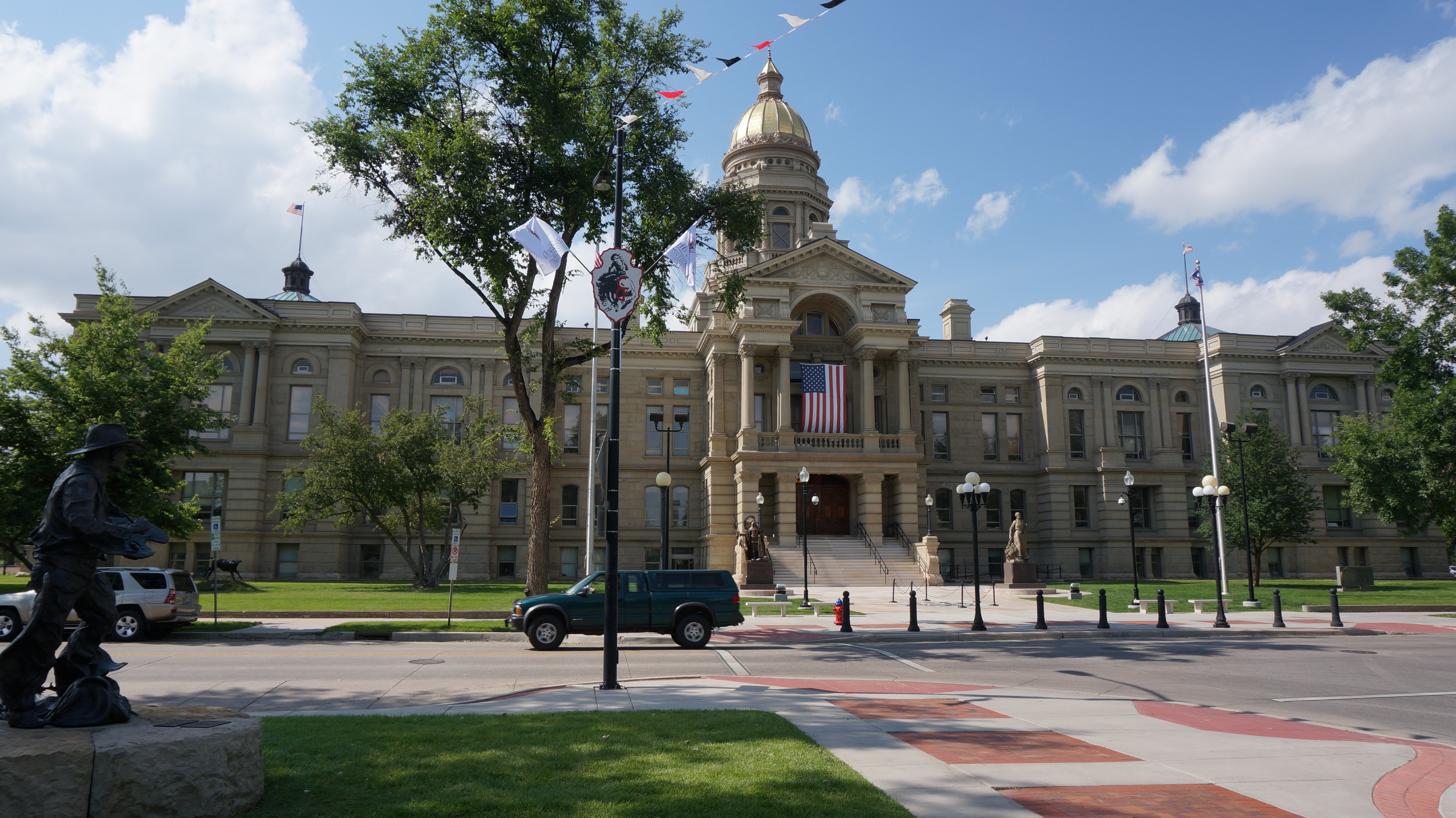
From there it was a short drive to Cheyenne, Wyoming where I spent the night.
State Capitol Building in Cheyenne, Wyoming

The video below is 2 minutes long of the state capitol in Cheyenne, Wyoming.

The video below is 2 minutes long of my accommodations in Cheyenne, Wyoming.

MY DAILY EMAIL SENT ON JULY 14, 2014
Hello Everyone,

I left Barb's this morning and headed out on my own. It was about a 170 mile drive to the Grand Lake entrance of Rocky Mountain National Park. The picture below is of Shadow Mountain Lake which is just outside the south entrance to the park.


As usual the weather was beautiful this morning but that didn't last long. As I was climbing into the mountains the clouds were quickly rolling in.


The picture above was taken at Medicine Bow Curve at about 11,500 feet. Shortly after I stopped at the Alpine Visitor Center and then started my decent down the other side. The picture below was taken at the Forest Canyon Overlook. It was at this point that it started to rain.


At my next stop we were once again below the tree line. The picture below was taken at Rainbow Curve.


I got to Estes Park at around 1:00. I was going to ride the aerial tramway here but it was raining and very bleak so I just left town. It stopped raining a few miles after leaving Estes Park. The drive between Estes Park and Loveland is very scenic as you drive through Big Thompson Canyon.


I am spending the night in Cheyenne, Wyoming. Below is the Wyoming State Capitol Building.


I am staying at the Holiday Inn Express. After getting settled at the hotel I had dinner at Five Guys Burgers. And that concluded my day.


I'm driving to South Dakota tomorrow.

Tim
Click on email photos for the large full-size photograph.


Click on the arrow above to continue to tomorrows adventures!

TIM'S HOME PAGE SITE INDEX
AreasDescription# of Pages
About MeCurrent Picture of me and my home.
Information about myself.
2
BiographyPictorial biography of myself.
Pictures range from birth to adulthood.
4
Family FilePictures of my family
and a little information about them.
12
Local SpotlightPictures, Links, and Information for
Indianapolis, Richmond, Plainfield,
and Mooresville, Indiana.
5
Tim's TravelsPictures, videos and travelogs from
my travels around the world.
409
  Vacation Videos   Over 1500 videos from
my travels around the world.
1
NOTICE: THIS WEB SITE WILL BE PERMANENTLY CLOSED ON JUNE 1, 2024