SWITZERLAND PART ONE
BASED IN ZURICH


(Switzerland Flag)


(Switzerland Map)


4 HOUR AND 45 MINUTE VIDEO OF MY ENTIRE 12-DAY VISIT TO SWITZERLAND.
(Individual videos can be found below and on sesequent pages.)

THURSDAY, AUGUST 11, 2011:

On Thursday afternoon I flew nonstop from Copenhagen's Kastrup Airport to Zurich.

27 minute video of my flights in and out of the Zurich Airport.

I flew on swissair. The weather was a lot nicer in Zurich.


All of the images below are thumbnails and can be clicked on for a larger image.

Zurich is the largest city in Switzerland. It is located in central Switzerland at the northwestern tip of Lake Zurich.
While the municipality itself has approximately 380,000 inhabitants, the Zurich metropolitan area is an urbanised
area of international importance constituted by a population of nearly 2 million inhabitants. Zurich is a mixed hub for
railways, roads, and air traffic. Both Zurich Airport and railway station are the largest and busiest in the country.
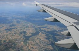
Southern Germany from Swiss Air flight Radisson Blu Hotel at Zurich Airport

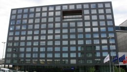
I stayed at the Radisson Blu Hotel at the Zurich Airport.
We touched down at 4:30. The hotel is connected to the airport terminal, no need to go outside.

3 minute video of my accommodations at the Radisson Blu Hotel at the Zurich Airport.

MY DAILY EMAIL SENT ON AUGUST 11, 2011
Hello everyone,

No reason for me writing today, but I know you would all be bitterly disappointed if you didn't hear from me. I had an afternoon flight from Copenhagen to Zurich. Since the flight was in the middle of the day it pretty much shot the whole day. Not enough time to do anything in Copenhagen this morning and by the time I got settled in Zurich it was too late to do anything here.

It was cold and raining when I left Copenhagen but it was sunny and 75 degrees when I got to Switzerland. Flying time was only one hour and twenty minutes to get here. Below is a picture from the flight. I assume that is Southern Germany in the picture.


It was a two minute walk to my hotel as I am staying at the Radisson Blu which is in the Zurich airport. It wouldn't have been my first choice of where to stay but this is the hotel used on the first night of my Swiss rail tour which begins Sunday. So I decided to stay here so I wouldn't have to move later. The tour company was able to get me a good rate on the pre-nights as well. It is a very nice hotel. There is a six-story wine rack in the atrium. I can watch the planes take off and land from my room.


The hotel is connected to the airport via an underground mall. All kinds of stores, restaurants and shops. Train station is there as well. 13 minute train ride to central Zurich. Everything is very convenient. One of the nicest airports I've ever seen. I have arranged a couple independent tours for Friday and Saturday before the tour begins Sunday. I'm praying for good weather. The forecast for the next few days looks good. I will spend a total of 12 nights here in Switzerland and then fly home.

Tim
Click on email photos for the large full-size photograph.

FRIDAY, AUGUST 12, 2011:

It was a quick ten minute train ride from the Zurich airport to downtown on Friday morning.
I had a tour scheduled for 11:00 but I got to town early to walk around a bit before the tour.
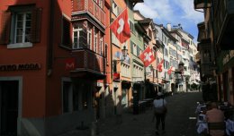
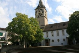
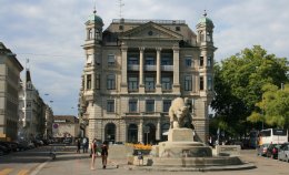
Augustinergasse in Zurich's old town Augustinergasse in Zurich's old town St. Peter's Church in Zurich, Switzerland

Altstadt (Old Town) along and near the shores of the Limmat river, has narrow, cobblestone streets,
old cathedrals (dating back to the 12th century) and guild houses. St. Peter is one of the four main
churches of the old town of Zurich, besides Grossmunster, Fraumunster and Predigerkirche.
The current building was consecrated in 1706 and the steeple's clock face in the largest in Europe.
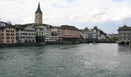
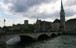
The Limmat river & Zurich's Old Town The Limmat river & Zurich's Old Town The Limmat river & Zurich's Old Town

The Fraumunster abbey in Zurich was founded in 853.
The choir of the abbey includes 5 large stained glass windows designed by artist Marc Chagall.
The Fraum�nster abbey in Zurich, Switzerland The Limmat river & Zurich's Old Town Zurich's Old Town, the twin spires of the Grossmunster on the right

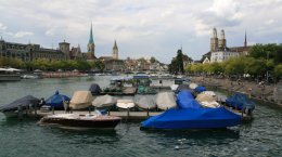
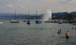
The long, narrow Lake Zurich stretches from the center of Zurich along a 40-km arc to the southeast.
The Limmat river, dividing Zurich's old town in two, is actually formed from the outflow of Lake Zurich.
Lake Zurich in downtown Zurich, Switzerland Lake Zurich in downtown Zurich, Switzerland Downtown Zurich, Switzerland

12 minute video of my visit to Zurich, Switzerland.

After my walk around Zurich it was time for my tour.
Below is a map of where I would be traveling today.
Our first stop was Rapperswil ('B' on the map below).


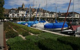
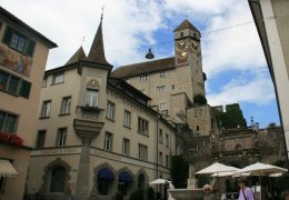
Lying 23 miles southeast of Zurich is the small lakefront town of Rapperswil.
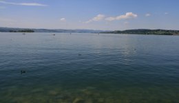
Harbor of Rapperswil, Switzerland Lake Zurich in Rapperswil, Switzerland Harbor of Rapperswil, Switzerland

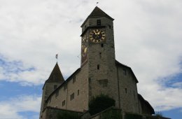
The Rapperswil castle is perched high upon a hill and contains a Polish museum.
Rapperswil Castle dates back around 1220 and is first mentioned in 1229.
The castle and the fortifications of the former locus Endingen were built by Count Rudolf II.
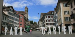
Rapperswil's main square looking up at the castle Rapperswil's main square looking up at the castle Rapperswil Castle

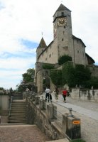
From the main square a broad flight of steps leads up to the castle and St. Peter's Church.
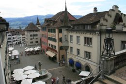
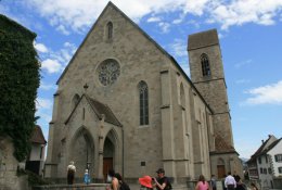
Rapperswil Hauptplatz (main square), former Rathaus (town hall) to the right Rapperswil Castle St. John's Church in Rapperswil, Switzerland

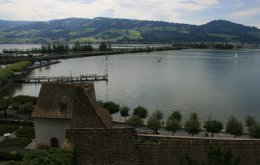
From the castle there is a breathtaking view of the city and Lake Zurich.
Rapperswil earned its name as the city of roses for the more than 10,000 roses
that bloom in the rose garden of the Capuchin monastery.
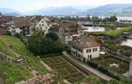
Looking down on Lake Zurich in Rapperswil, Switzerland Seedamm and upper Lake Z�rich Looking down on rose garden in Rapperswil, Switzerland

7 minute video of my visit to the small town of Rapperswil, Switzerland.

It was a beautiful drive through eastern Switzerland between Rapperswil and Liechtenstein.
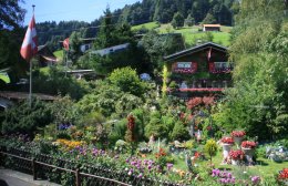
Scenic drive from Rapperswil to Liechtenstein Scenic drive from Rapperswil to Liechtenstein Scenic drive from Rapperswil to Liechtenstein

13 minute video of my my drive from Rapperswil to Liechtenstein.

The Principality of Liechtenstein is bordered by Switzerland to the west and south and by Austria to the east.
Its has an area of just over 62 square miles, and an estimated population of 35,000.
Its capital is Vaduz.
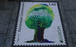
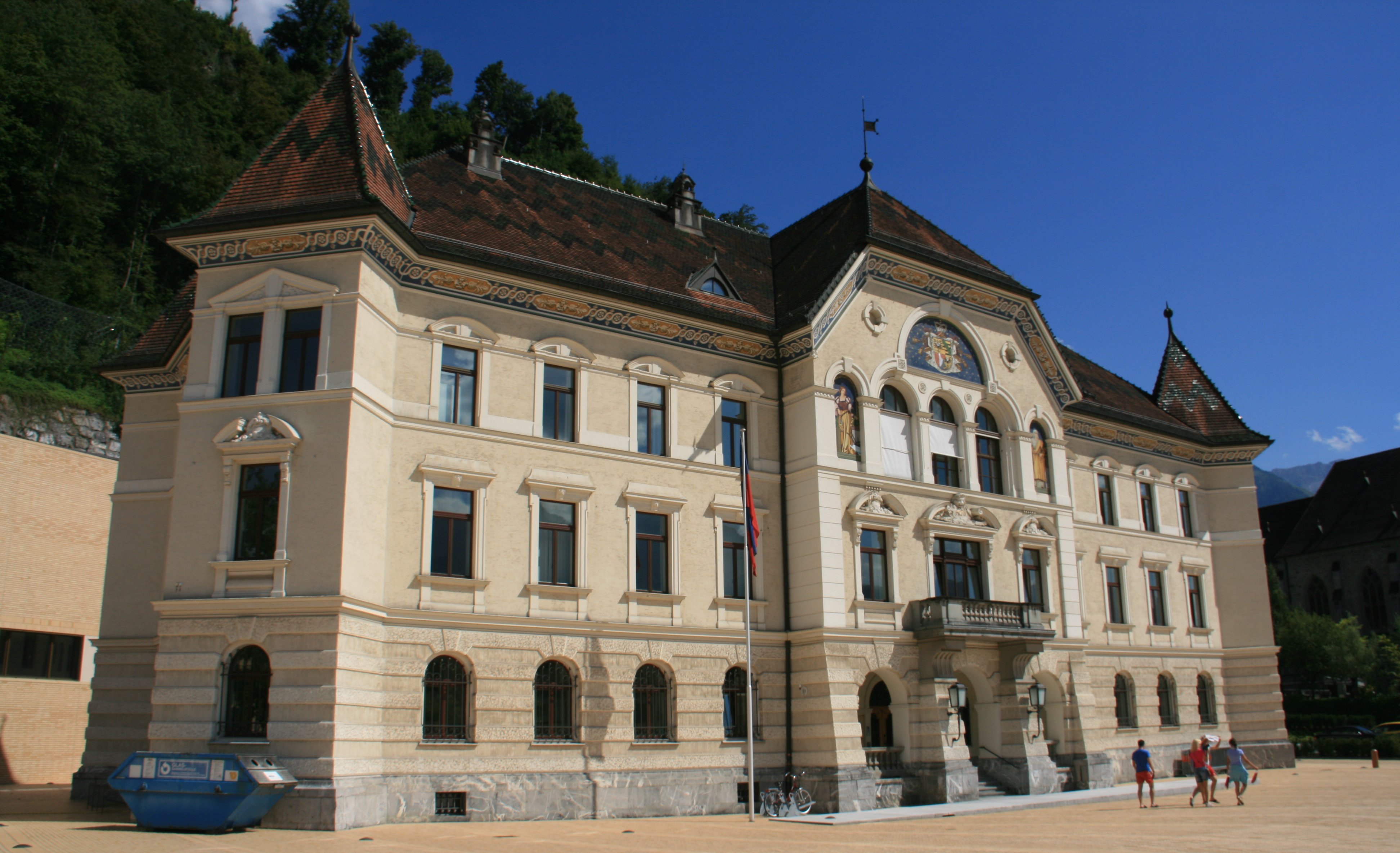
Large Liechtenstein postage stamp on the sidewalk Vaduz Castle overlooking the capital of Liechtenstein The centre of government in Vaduz, Liechtenstein

We had about an hour on our own to walk around the small capital city of Vaduz.
Vaduz Castle overlooks the capital and is still home to the Prince of Liechtenstein.
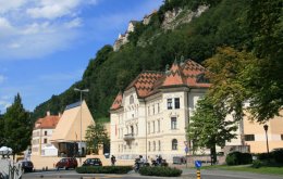
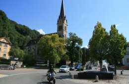
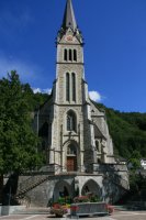
Looking up at Vaduz Castle from the center of the capital city Vaduz Cathedral in Vaduz, Liechtenstein Vaduz Cathedral in Vaduz, Liechtenstein

6 minute video of my visit to the small country of Liechtenstein.

The hills above Bad Ragaz are where the Heidiland region got its name.
The Swiss author Johanna Spyri set her wholesome classic of children's literature Heidi in and
around the village of Maienfeld, and the place milks its claim to fame mercilessly.
Regardless of the lack of firm evidence linking Spyri's story with any particular house,
one old wooden chalet has been seized upon as being "the original Heidi's House",
and converted into a museum to show how Heidi would have lived a hundred years ago.
Heidi's House Heidiland near Maienfeld, Switzerland Heidiland near Maienfeld, Switzerland

This was a scenic little area but not really worth the time and effort.
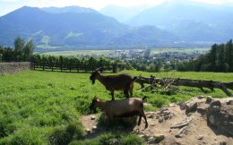
Heidiland near Maienfeld, Switzerland Heidiland near Maienfeld, Switzerland Heidiland near Maienfeld, Switzerland

6 minute video of my less than impressive visit to Heidiland.

MY DAILY EMAIL SENT ON AUGUST 12, 2011
Hello folks,

I began my day with breakfast at the hotel and then I took the train into central Zurich. Below is the main train station.


I had a tour leaving at 11:00 so I got to town a little early so I could walk around town a bit.

The Limmat river & Zurich's Old Town

Zurich is a beautiful city. It's the largest city in Switzerland but not a huge city, only 350,000 people.

The Fraum�nster abbey in Zurich, Switzerland


Today I journeyed out into the countryside east of Zurich. My first stop was in the town of Rapperswil.

Harbor of Rapperswil, Switzerland

Above you can see the castle up on the hill behind the town. The picture below was taken from the castle of Lake Zurich. It begins here and extends all the way to Zurich about 40 miles northwest.

Looking down on Lake Zurich in Rapperswil, Switzerland

It was a beautiful drive through the country. Weather was almost perfect, sunny and warm but there was a little haze which reduced visibility of the mountains in the distance.

Scenic drive from Rapperswil to Liechtenstein

We stopped in small villages and towns throughout the day. I don't remember the name of the one below.

Scenic drive from Rapperswil to Liechtenstein

Next I knocked another country off my bucket list, Liechtenstein. This is the twelfth and final country I will be visiting this trip. Liechtenstein is a very small principality between eastern Switzerland and western Austria. In the picture below you can see Vaduz Castle overlooking the capital city of Vaduz. The castle is still home to the Prince of Liechtenstein who will be celebrating his birthday next week.

Vaduz Castle overlooking the capital of Liechtenstein

Below is the government building of the tiny country.

The centre of government in Vaduz, Liechtenstein

Our last stop of the day was Heidiland. Below his her original house. Not sure how a fictional character has a real house but this is supposedly it.

Heidi's House

And below is the beautiful countryside around Heidiland.

Heidiland near Maienfeld, Switzerland

It was a nice day. I will be heading back into the alps again tomorrow. Forecast looks good so far.

Tim
Click on email photos for the large full-size photograph.

SATURDAY, AUGUST 13, 2011:


Saturday was a fantastic day. Weather was beautiful once again.
I took a small group tour into the heart of the Swiss Alps.
You can see the route we took on the map above.
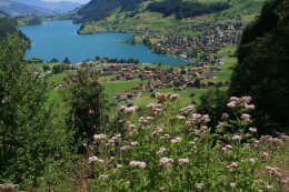
Our first stop was at Lungerersee Lake.
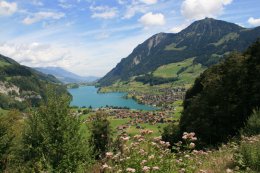
Lungerersee Lake in the Swiss Alps Lungerersee Lake in the Swiss Alps Lungerersee Lake in the Swiss Alps

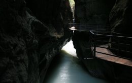
Our next stop was at Aare Gorge. We had lunch before walking through the gorge.
Over thousands of years the Aare river has carved its way between the villages of Meiringen
and Innertkirchen, forming a mile long and 600 feet deep gorge.
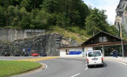
Aare Gorge in the Swiss Alps Aare Gorge in the Swiss Alps Aare Gorge in the Swiss Alps

The walk through the gorge is quite spectacular. Below you, the ice-cold glacier water of
the Aare river forces its way relentlessly through the narrow gorge.
Above you the sheer cliff faces rise up into the sky.
Aare Gorge in the Swiss Alps Aare Gorge in the Swiss Alps Leaving Aare Gorge in the Swiss Alps

After leaving Aare gorge we traveled upward to Grimsel Pass.
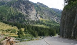
On the road through the Swiss Alps On the road through the Swiss Alps On the road through the Swiss Alps

The elevation at Grimsel Pass is 7103 feet.
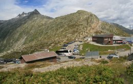
Grimsel Pass in the Swiss Alps Grimsel Pass in the Swiss Alps Grimsel Pass in the Swiss Alps

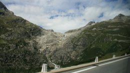
We traveled along dozens of switchbacks on the scenic road to Rhone Glacier.
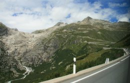
Scenic road approaching Rhone Glacier in the Swiss Alps Scenic road approaching Rhone Glacier in the Swiss Alps Scenic road approaching Rhone Glacier in the Swiss Alps

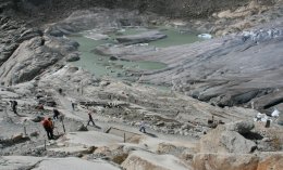
The Rhone Glacier is the largest glacier in the Urner Alps. It lies on the south side of the range
at the source of the Rhone River. The glacier is located between Grimsel Pass and Furka Pass.
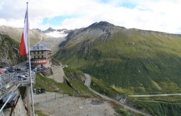
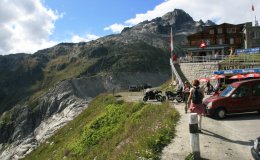
Hotel Belvedere at Rhone Glacier in the Swiss Alps View from Rhone Glacier in the Swiss Alps View from Rhone Glacier in the Swiss Alps

Rhone Glacier tips southward from the southern slopes of the massive Dammastock Peak.
The glacier is one of the primary contributors to Lake Geneva, about 96 miles downstream to the west.
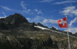
View from Rhone Glacier in the Swiss Alps Rhone Glacier in the Swiss Alps Rhone Glacier in the Swiss Alps

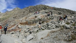
We walked down the trail to the ice cave.
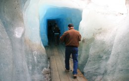
Ice cave at Rhone Glacier in the Swiss Alps Ice cave at Rhone Glacier in the Swiss Alps Climbing trail from Rhone Glacier in the Swiss Alps

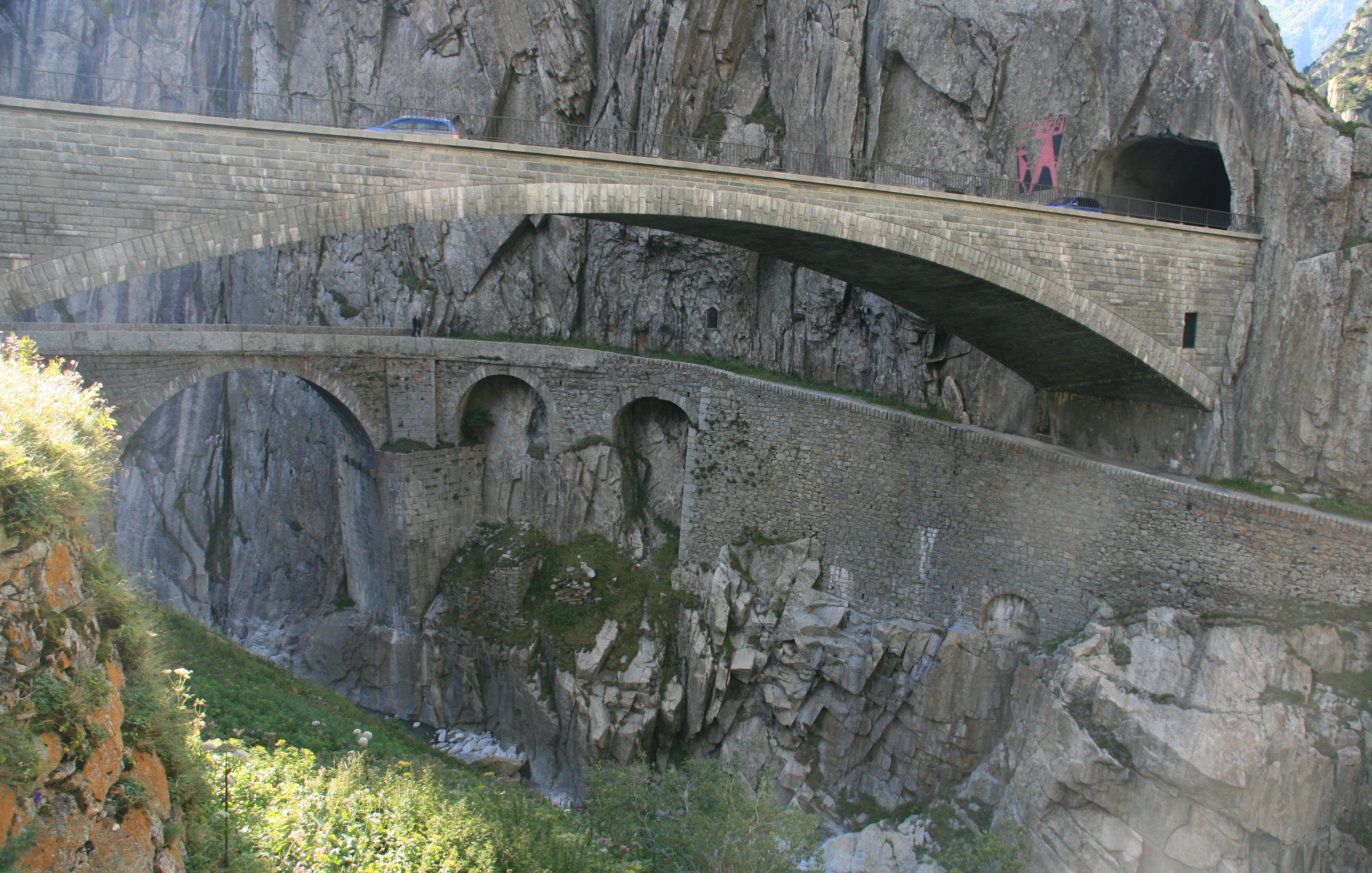
Our last stop was in Andermatt at the Devil's Bridge.
Today you see two bridges crossing the Reuss near to where the original bridge had been built,
and all three bridges are called Devil�s Bridge. The original bridge built in the 13th century
was destroyed in 1799, when the Russians under General Suvorov and the French under Napoleon
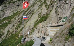
had a particularly pointed discussion over it. At the end of the 19th century, the Russian Tsar
wanted to commemorate the heroes of the Napoleonic Wars, and Switzerland ceded some territory
to the Russian state to erect a monument just beside the newly built bridge.
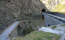
Devil's Bridge in the Swiss Alps Devil's Bridge in the Swiss Alps Suworow Monument at Devil's Bridge in the Swiss Alps

It was a scenic drive back to Zurich from Andermatt. We passed Lake Lucerne and Lake Zug on the way.
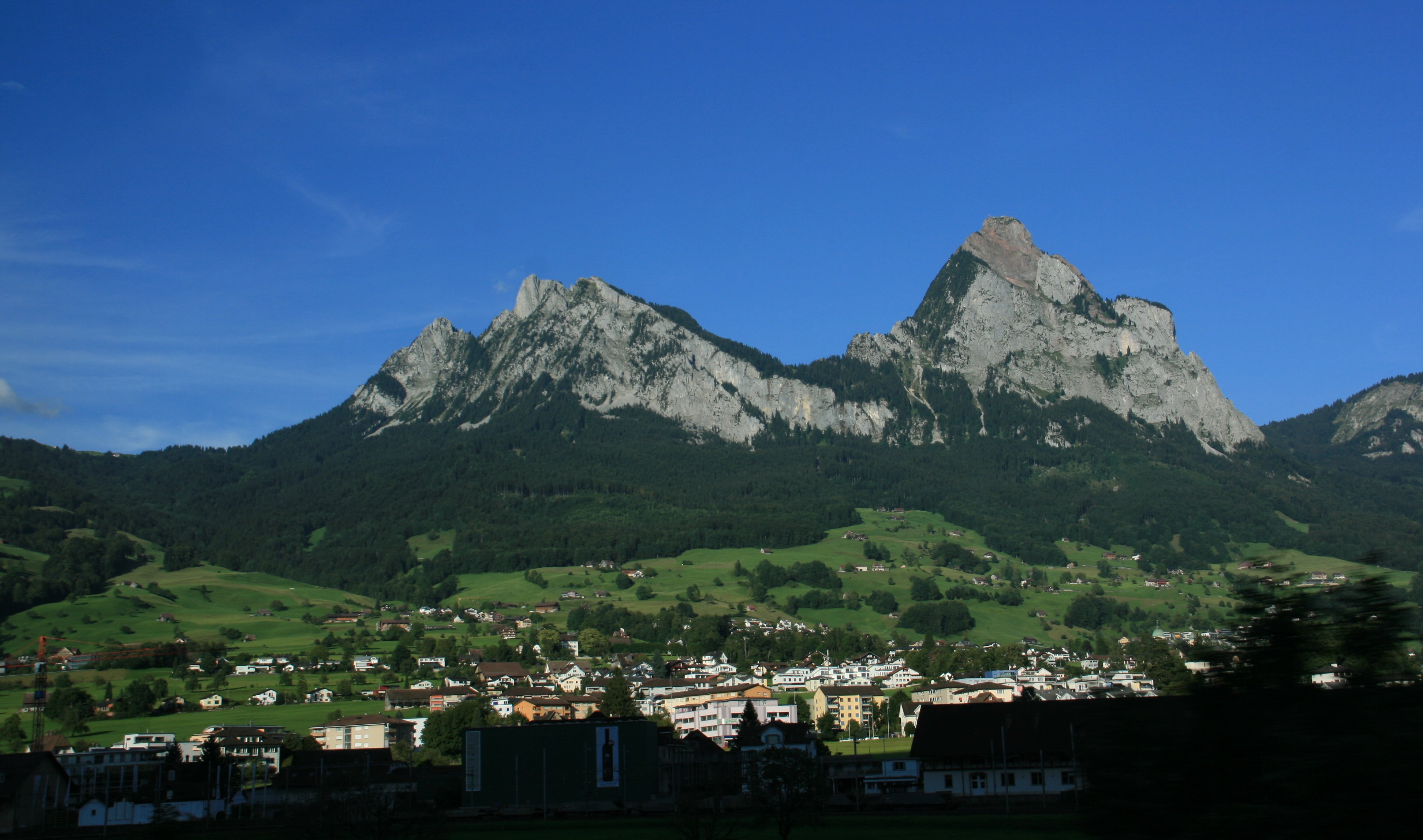
On the road through the Swiss Alps Lake Zug in the Swiss Alps Lake Zug in the Swiss Alps

41 minute video of Lungerersee Lake, Aare Gorge, Grimsel Pass, Rhone Glacier & Devils Bridge.

MY DAILY EMAIL SENT ON AUGUST 13, 2011
Hello folks,

I had a great day today. I had breakfast at the hotel and then took the train in to central Zurich like I did yesterday. Today I took a small group tour into the Alps. We traveled over 300 kilometers in the course of the day. The small group was nice. There was just eight of us plus the guide who also did the driving. Yesterday I went east and today I went south. Below is a picture of our first scenic stop, Lungerersee Lake.

Lungerersee Lake in the Swiss Alps

As you can see from the picture above weather was great again today. Notice the nice green color of the lake. When we got higher in the mountains the lakes where a gray color, almost white. We traveled over Brunig Pass (1008 meters) to the Bernese Oberland (highlands). Our next stop was at Aare Gorge where we had lunch and then walked through the gorge.

Aare Gorge in the Swiss Alps

Most of my pictures in here didn't come out too well. The sun shining on the white water through the narrow opening of the gorge over exposed most of the pictures. It was a two kilometer walk through the gorge. It got very narrow in places, not more than a meter wide.

Aare Gorge in the Swiss Alps

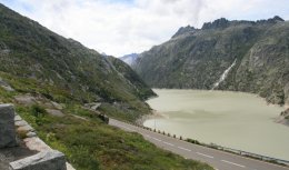
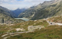
Next we ascended through wild landscapes to Grimsel Pass (2165 meters). What looks like a bridge in the center of the picture below is actually the top of a dam.

On the road through the Swiss Alps

The picture above was almost to the top of Grimsel Pass. The picture below is on top looking the other direction.

Grimsel Pass in the Swiss Alps

Our next stop was Rhone Glacier. We had to drive through about 1000 switchbacks to get there as you can see in the picture below.

Scenic road approaching Rhone Glacier in the Swiss Alps

Below is the Rhone Glacier, which is receding rapidly. It probably won't exist for much longer.

Rhone Glacier in the Swiss Alps

Below is the ice cave we walked through. I didn't spend a whole lot of time in there. I didn't bring a coat and it was a bit chilly in there.

Ice cave at Rhone Glacier in the Swiss Alps

The picture below was taken from the glacier. You get a better view of the long winding road.

View from Rhone Glacier in the Swiss Alps

Our last stop was in Schollenen Gorge with its legendary Devils Bridge at the base of St. Gotthard Mountain. It was impossible to photograph. I couldn't get far enough away and it was also into the sun. Below is the best I could do.

Devil's Bridge in the Swiss Alps

It was about a two hour drive back to Zurich from here. It was a beautiful drive all the way back. We drove past one segment of Lake Luzern. I don't remember the name of the town in the picture below.

On the road through the Swiss Alps

We also passed beautiful Lake Zug.

Lake Zug in the Swiss Alps

It was an excellent day. The small group tour was really nice. When we got back to Zurich the streets were jammed with half-naked drunken teenagers. They were also all over the train that I took to get back to the hotel as well. I walked through about a dozen cars trying to find one where there wasn't a party going on. I never did find one. I got back to the hotel a little before dark. I love Switzerland so far, but you would not believe the prices here. And the exchange rate doesn't help. When I was planning this trip many months ago the exchange rate was almost even. When I got here I only got 70 cents on the dollar.

Have a good weekend everybody,

Tim
Click on email photos for the large full-size photograph.

SUNDAY, AUGUST 14, 2011:

Sunday morning I journeyed to Schaffhausen, Switzerland just south of the German border.


Munot Castle is pictured in the lower left photo.
The main attraction in Schaffhausen is Rhine Falls, the largest waterfall in Europe.
The falls are located on the Upper Rhine River and are 450 feet wide and 75 feet high.
Munot Castle in Schaffhausen, Switzerland Rhine Falls in Schaffhausen, Switzerland Rhine Falls in Schaffhausen, Switzerland

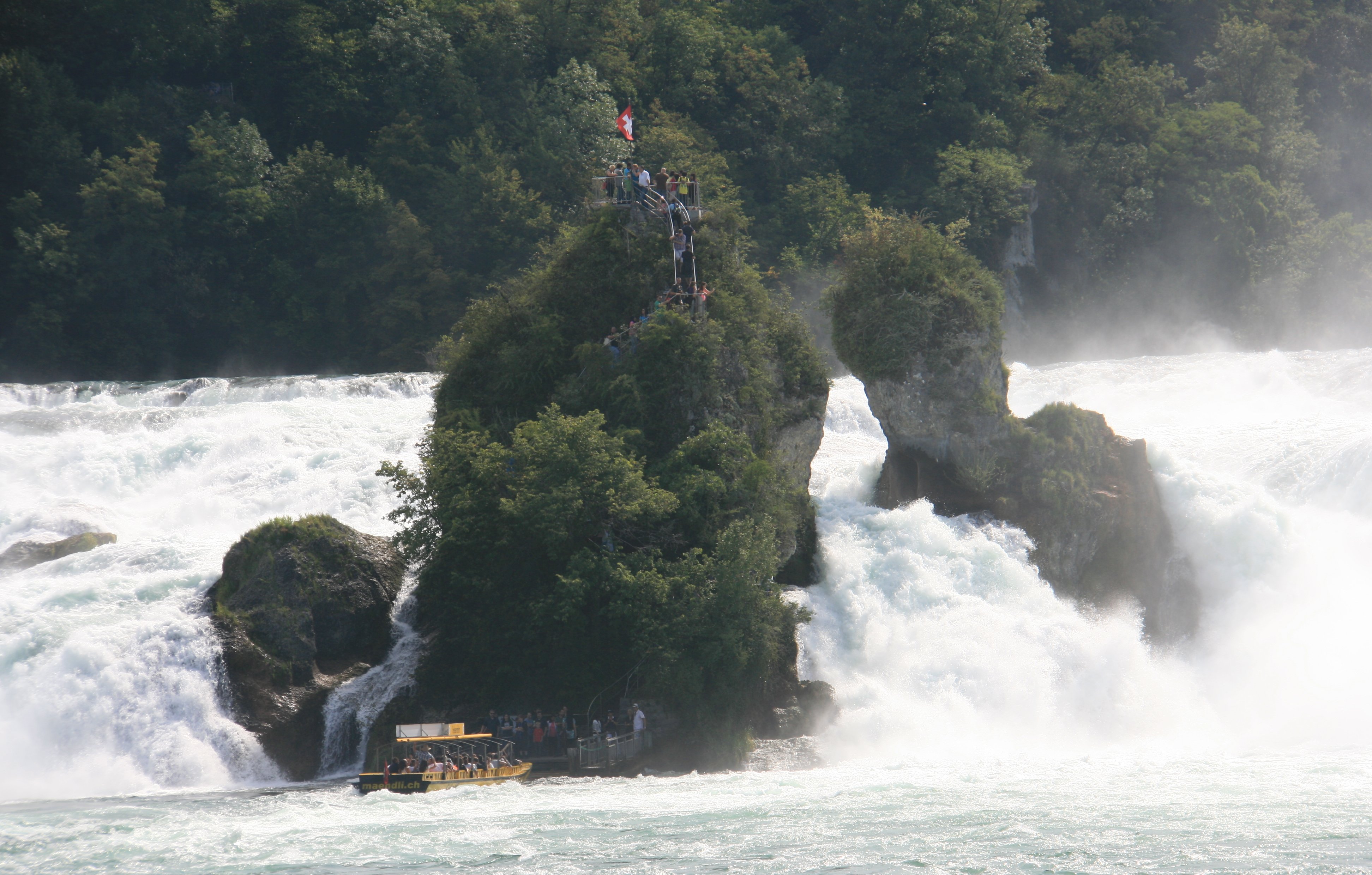
I took a boat out to the little island in the center of the falls and climbed to the top of the rock.
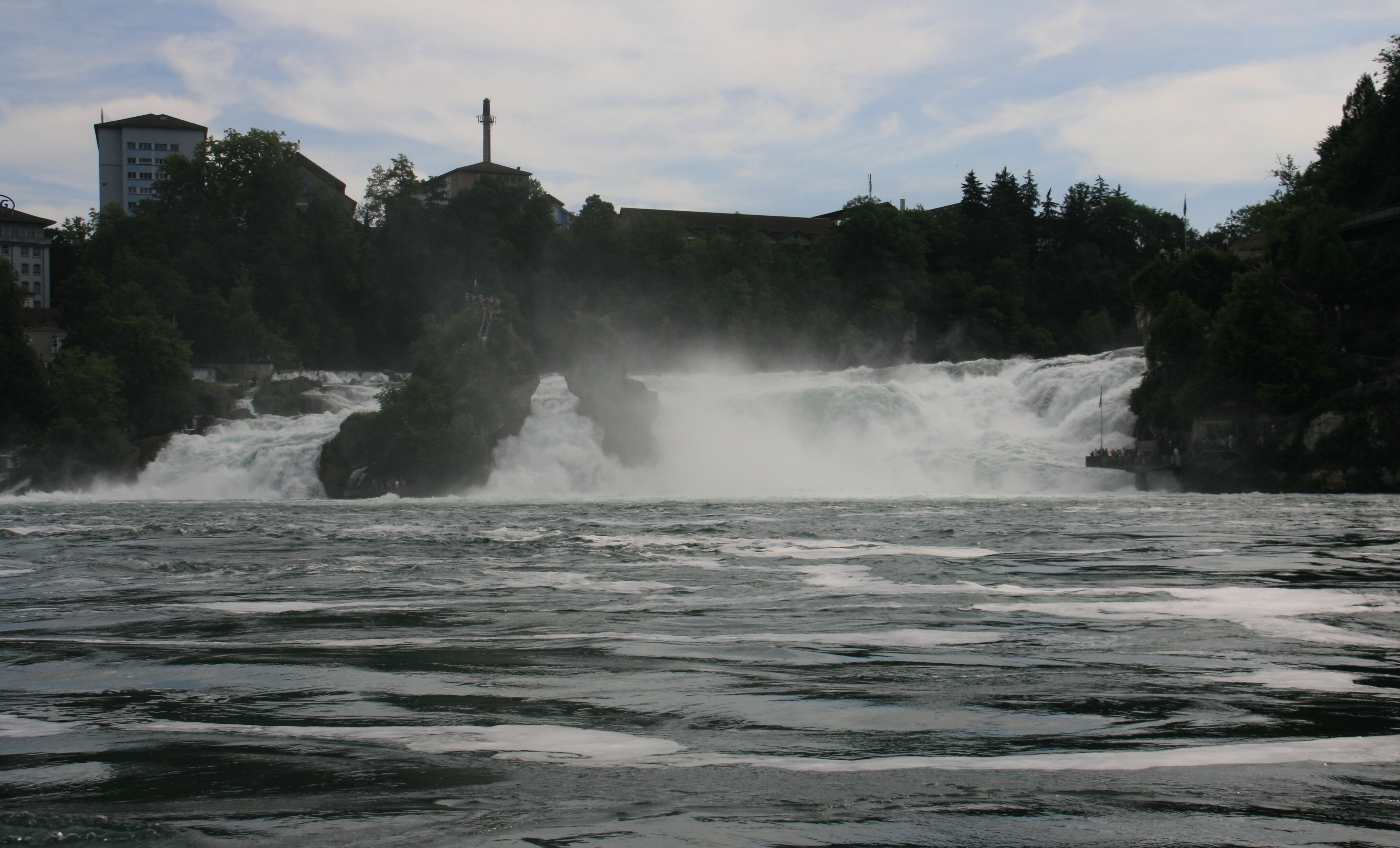
Rhine Falls in Schaffhausen, Switzerland Rhine Falls in Schaffhausen, Switzerland Rhine Falls in Schaffhausen, Switzerland

8 minute video of my visit to Rhine Falls.

I returned to my hotel at the Zurich Airport after leaving the falls.
I was able to see my first A380 from my hotel window.
Singapore Airlines A380 at Zurich Airport

Sunday afternoon I joined up with my tour group for a seven day rail tour.

(Switzerland Rail Tour)
The first thing we did as a group was go into Zurich Sunday afternoon.
All my Zurich pictures can be seen above on Friday, August 12.

MY DAILY EMAIL SENT ON AUGUST 14, 2011
Hello folks,

It was another nice day here in Switzerland. A few more clouds today but still very nice. This morning I visited Rhine Falls which is north of Zurich on the German border. Below is a fortress very near the falls.

Munot Castle in Schaffhausen, Switzerland

Rhine Falls is the largest waterfall in Europe based on the volume of water going through it. The falls were right into the sun so I couldn't get a decent picture.

Rhine Falls in Schaffhausen, Switzerland

I took a boat out to that little island in the middle of the falls. Out there about 100 people try to cram into a little platform on top of the rock. There's room for about 6 people.

Rhine Falls in Schaffhausen, Switzerland

Below is a picture from the top of the rock.

Rhine Falls in Schaffhausen, Switzerland

The trip only took a couple hours. This afternoon I joined up with my rail tour group. Not a very big group, there is only 18 of us. We'll be together for the next seven days as we travel throughout Switzerland on the scenic Swiss trains. The first thing we did was a short tour of Zurich. Unlike the other people in the group I have already been here for four days, so we didn't visit anything I hadn't already seen.

Augustinergasse in Zurich's old town

This will be my last day in Zurich.

The Limmat river & Zurich's Old Town

Below is Lake Zurich.

Lake Zurich in downtown Zurich, Switzerland

I'm staying in very small mountain chalets the next three nights. St. Moritz tomorrow and Zermatt on Tuesday and Wednesday. Not sure if I'll have Internet access or not, so if you don't here from me for a few days don't send out a search party.

Tim
Click on email photos for the large full-size photograph.


Click on the arrow above to continue to part two of my Swiss adventures!

TIM'S HOME PAGE SITE INDEX
AreasDescription# of Pages
About MeCurrent Picture of me and my home.
Information about myself.
2
BiographyPictorial biography of myself.
Pictures range from birth to adulthood.
4
Family FilePictures of my family
and a little information about them.
11
Local SpotlightPictures, Links, and Information for
Indianapolis, Richmond, Plainfield,
and Mooresville, Indiana.
6
Tim's TravelsPictures, videos and travelogs from
my travels around the world.
300+
  Vacation Videos   Over 1280 videos from
my travels around the world.
1