|
JULY 1994 I began my 1994 summer vacation by flying to Spokane, Washington. After a quick plane change at Denver's Stapleton Airport it was on into Spokane where I arrived around dusk. I have recently found the videos that I took on this trip. They have been lost for many years.
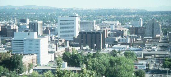 The weather was picture perfect as I awoke the next day. I began the next day by exploring Spokane. The above picture was taken from a hillside just south of the city.
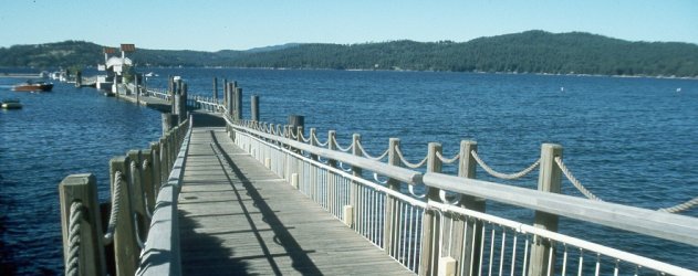 After breakfast it was on into western Idaho for the afternoon. The above picture is of Lake Coeur d'Alene. Called one of the five most beautiful lakes in the world by National Geographic.
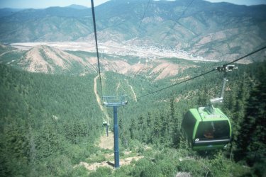 My next stop was 40 miles west in Kellogg, Idaho. Here I rode The Silver Mountain Gondola to the Mountain Haus upper terminal. It takes 19 minutes to reach the summit on what is said to be the world's longest single-stage gondola.
I made a short visit to historic Wallace, Idaho before heading back to Spokane.
I spent a second night at the beautiful Sheraton Hotel along the Spokane River in downtown Spokane. I spent the evening strolling through Riverfront park and watching the forest fire that was raging northwest of the city in Riverside park.  Weather was perfect again the next day for my drive across the state of Washington. My first stop was at Grand Coulee Dam. The dam is the most massive concrete structure in the world.
After the dam I drove southwest down scenic state highway 155 making scenic stops at Banks Lake, Steamboat Rock and Dry Falls.
It was on into Seattle next where I spent the night at the Red Lion Sea-Tac Hotel adjacent to the airport.
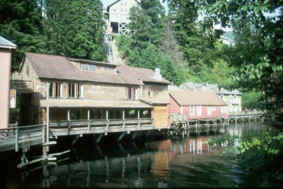 The next day I flew to Ketchikan, Alaska. It was a thrill stepping off the plane in Ketchikan, as I had now been to all fifty states. Five miles long, and four blocks wide, Ketchikan is the salmon capitol of the world and the southern most city in Alaska. Pictured above is Creek Street, my favorite part of the city. Built on stilts along a stream, the street was once a thriving red-light district. Pictured above Creek Street is the Westmark Cape Fox Lodge where I stayed. It's hilltop location made for excellant views and the cable car just off the lobby took you down to Creek Street. 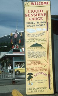 With an average annual rainfall of around 160 inches, Ketchikan is the wettest community in North America. Pictured above is the "Liquid Sunshine Gauge." I got lucky on my visit as the sun shined the whole time. 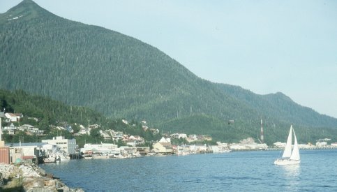 I spent my evening in Ketchikan walking all around town. Ketchikan is also renowned for its totem poles. I visited a couple parks in the area which contained numerous examples of these indian artifacts. 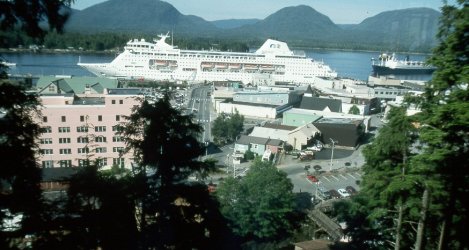 The above picture was taken as I ate breakfast at my hotel the next morning. Countless cruise ships dock in Ketchikan each summer. Three arrived the morning I was there.
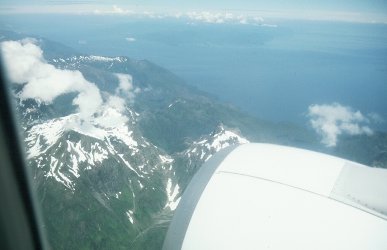 One of the most spectacular parts of the trip was the short flight between Ketchikan and Sitka. The weather continued to be perfect and you got an excellant view of a lot of the islands along the inside passage. The decent into Sitka was breathtaking as we flew just over the tops of the mountains. 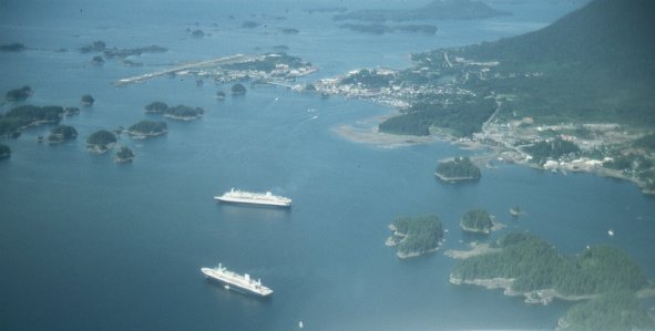 The picture above was taken from the airplane just before landing in Sitka, Alaska. It is my favorite photograph. You can see a couple cruise ships in the picturesque harbor as well as the entire town.
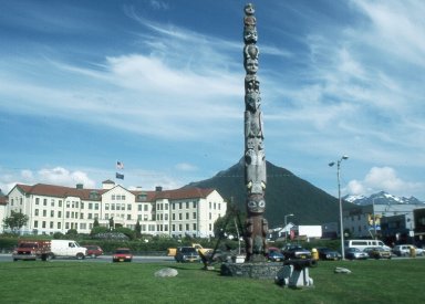 Pictured above is the Pioneers Home in downtown Sitka. 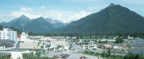 This picture taken from the top of Castle Hill provides and excellant view of this Russian-American community. 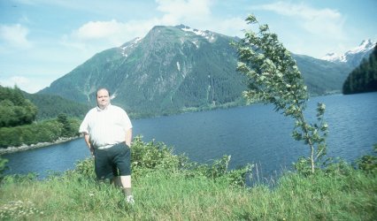 This is me standing by a lake in front of the Baranof Mountains just outside Sitka.
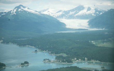 The weather started to deteriorate the next day as I flew over to Juneau. The above picture was taken just before landing.
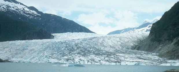 My first stop in Juneau was at Mendenhall Glacier. 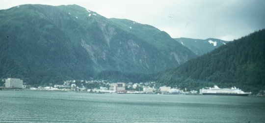 The above picture of Juneau was taken from Douglas, Alaska, which lies just across the Gastineau Channel from Juneau.
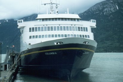 It was time to take a break from the air travel and head the rest of the way up the inside passage on the Alaska Marine Ferry. It was a beautiful trip up the Lynn Canal, but unfortunately the weather was quite bleak. We made one stop on the journey that took most of the day, and that was in Haines, Alaska.
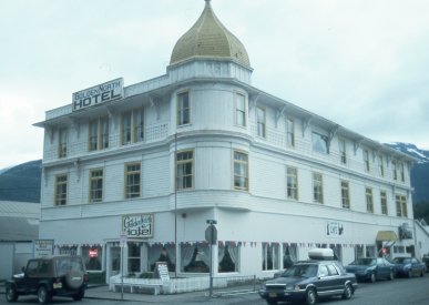 I arrived in Skagway in the early evening. In its heyday, Skagway was the boom town gateway to the Klondike goldfields. Pictured above is the Golden North Hotel. Built in 1897, the hotel is still in operation. 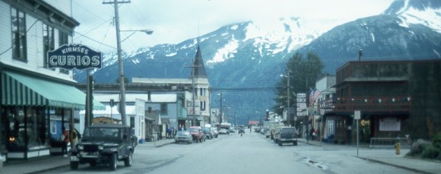 Above is a look down Broadway, Skagway's main thoroughfare.
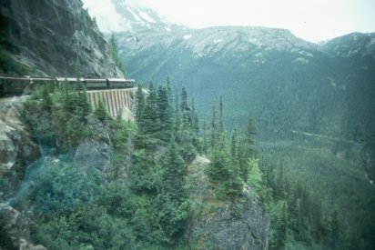 The next day I traveled across the White Pass on a narrow-gauge railway that parallels the trail followed by the frantic gold seekers in 1898. We passed Bridal Veil Falls, Inspiration Point, and the infamous Dead Horse Gulch on our trip. 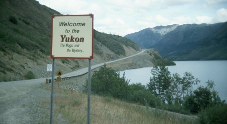 After the train trip I headed up the South Klondike Highway into Canada. It was a scenic drive, I went as far as the Yukon border and then headed back to Skagway.
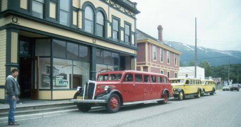 You can tour Skagway in one of these vintage automobiles operated by the Skagway Street Car Company. I spent my second night in Skagway visiting the Gold Rush Cemetery and other local points of interest.  Things didn't go well the next day. The ferry was very late and I spent seven thrilling hours in the ferry parking lot. I didn't get back into Juneau until after midnight. The weather for the journey back down the Lynn Canal was just as bad as on the trip up. I took a break from the sight seeing the next day and just relaxed around the hotel. Then on the following day I flew to Anchorage. 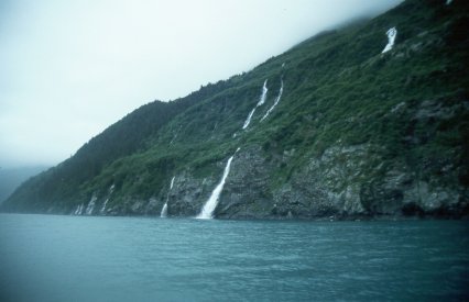 The first thing I did after arriving in Anchorage was take the 26 Glacier Cruise. It's a six hour narrated cruise of Prince William Sound, particularly the College and Harriman fjords. The weather wasn't very good, but we did get some up close looks at several glaciers and saw lots of wild- life floating among the icebergs. The picture above is of a popular nesting place for many species of birds, located just across the sound from Whittier, Alaska.
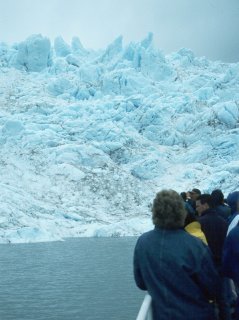 The next day I drove down to Seward, Alaska, visiting Portage Glacier (pictured above) enroute.
I spent the first of two nights in Seward, Alaska.
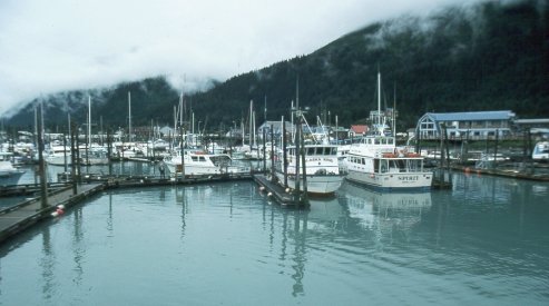 The next day I took the Kenai Fjords Tour. We traveled along 100 miles of Alaska coastline and saw numerous wild- life, including a humpback whale. Pictured above is the boat harbor at Seward as we began our all-day excursion. 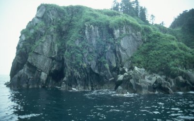 Although the weather continued to be poor it was still a very enjoyable tour with lots of scenery and nature.
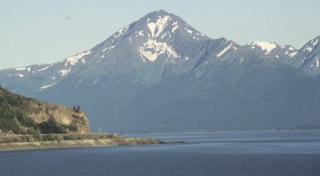 After two days in Seward it was back up the highway to Anchorage. Pictured above is a particularly pretty part of the highway near Anchorage along the Cook Inlet.
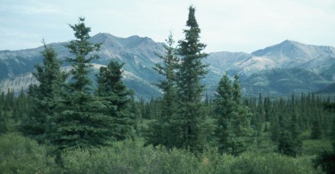 My next excursion was a trip to Mount McKinley. I drove some 200 miles north of Anchorage to Denali National Park where I spent the night. The picture above was taken from the park. Due to the continued bad weather, I never even got a glimpse of North America's highest peak.
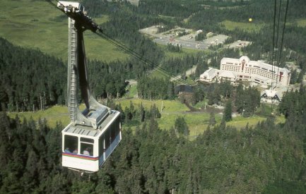 After returning from Denali, I spent the rest of my time in Alaska in the Anchorage area. The sun finally came out and the weather was nice for the rest of the trip. The above picture was taken from the Tramway at the Alyeska Ski Resort during its first year of operation. 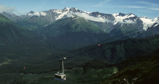 Stunning mountain scenery abounds from the 2300 foot level of Mt. Alyeska.
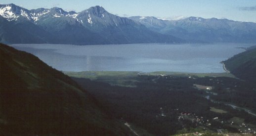 The above picture was also taken from Mt. Alyeska looking out toward the Cook Inlet and the Seward Highway. 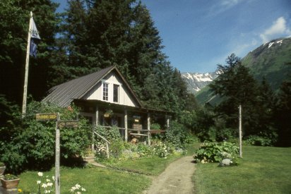 Above is Crow Creek Mine, very near the base of Mt. Alyeska. 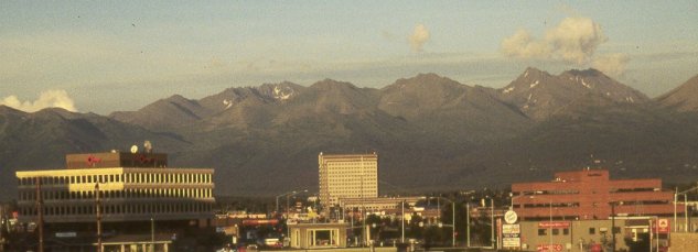 Above is the city of Anchorage as seen from my hotel.  I flew to Oakland, California after leaving Alaska. From their I drove to my sister's in Fairfield and spent a couple of days with her & her husband, and my adorable two-year-old nephew. I then flew back home from Oakland.
I returned to Alaska in July 2000. Click the banner below for the details.  My third Alaska visit was in June 2007. Click the banner below for the details.  
| |||||||||||||||||||||||||||||||||||||||||||||||||||||||||||||||||||||||||||||
