I would drive a total of 100 miles today.

All of the images below are thumbnails and can be clicked on for a larger image.
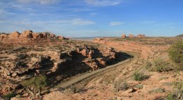
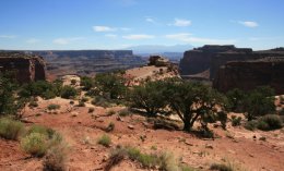
Scenic Utah Highway #313 leaves U.S. 191 about ten miles north of Moab.
There are several scenic viewpoints off the highway one of which overlooks the Monitor & Merrimack Butes.
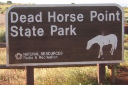
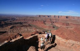
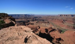
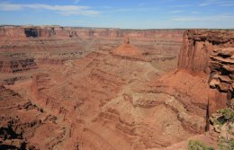
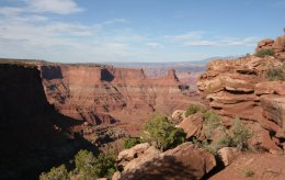
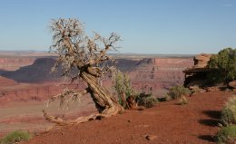
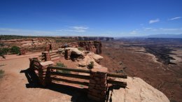
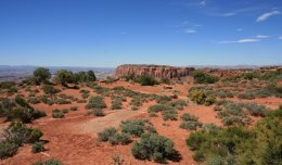
My favorite place in Utah is Dead Horse Point State Park.
Dead Horse Point is a promontory of stone surrounded by steep cliffs. Here you can stroll along the Rim Walk,
towering 2,000 feet directly above the Colorado River. The mesa that is Dead Horse Point provides breathtaking
views of the canyon country of southeastern Utah and the pinnacles and buttes of Canyonlands National Park.

Before the turn of the century, mustang herds ran wild on the mesas near Dead Horse Point.
The unique promontory provided a natural corral into which the horses were driven by cowboys.
The only escape was through a narrow, 30-yard neck of land controlled by fencing.
Mustangs were then roped and broken, with the better ones being kept for personal use or sold.
Unwanted culls of "broomtails" were left behind to find their way off the Point.

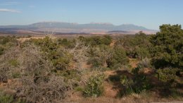
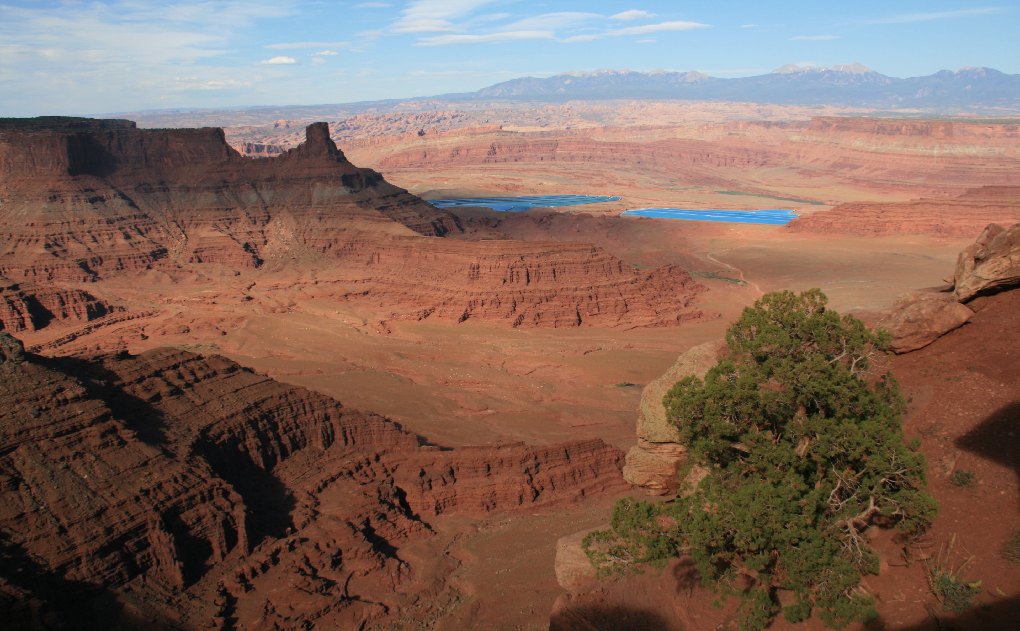
Millions of years of geologic activity created the spectacular views from Dead Horse Point State Park.
Deposition of sediments by ancient oceans, freshwater lakes, streams and wind blown sand dunes
created the rock layers of canyon country. Igneous activity formed the high mountains
that rise like cool blue islands out of the hot, dry desert.
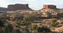
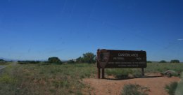
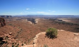
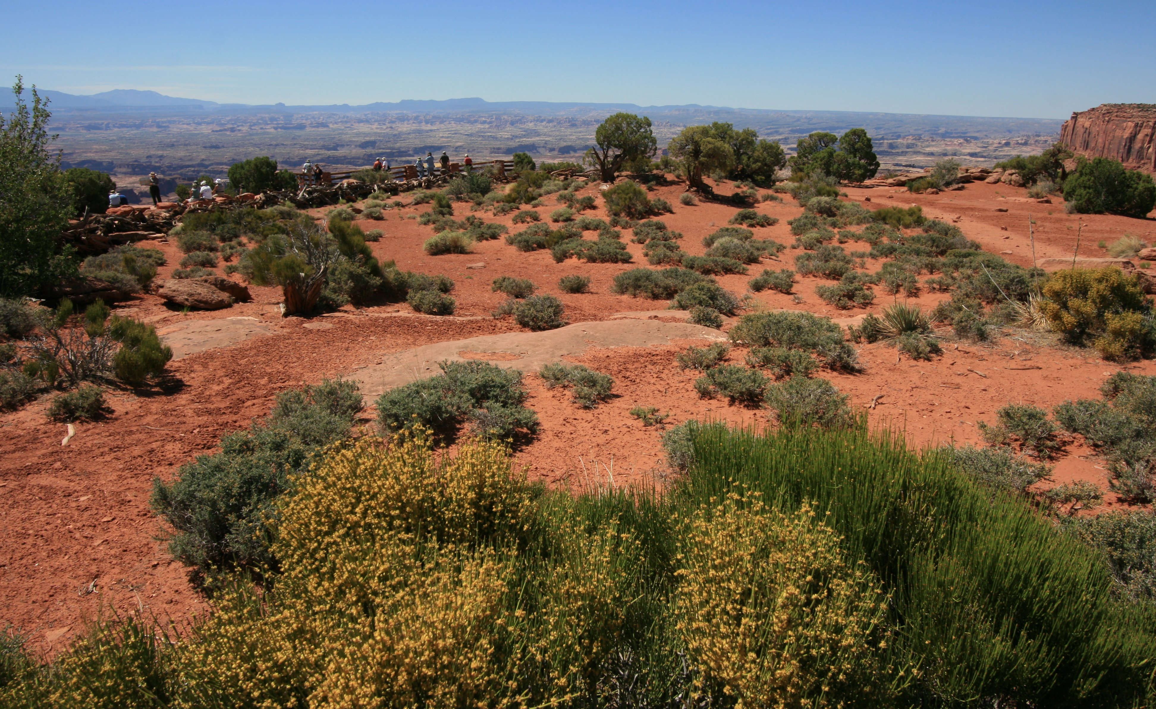
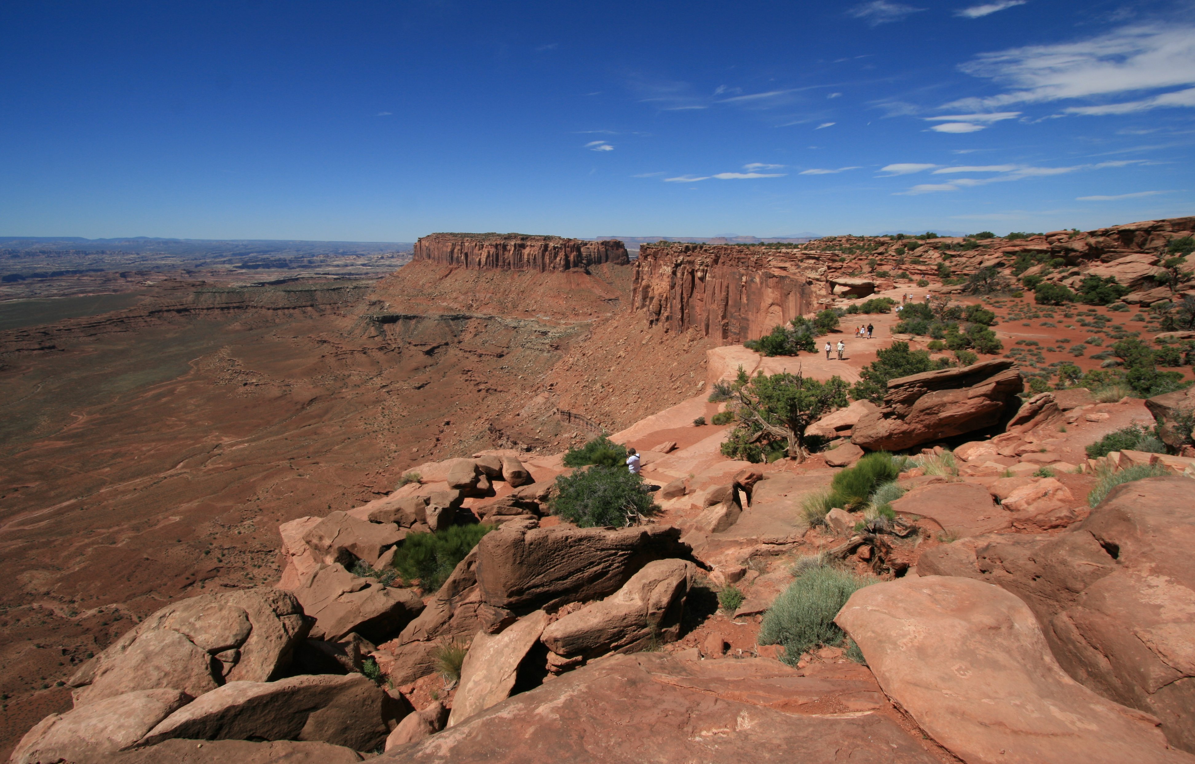
Just a few miles down the road from Dead Horse point is the entrance to the Island in the Sky district of
Canyonlands National Park. Canyonlands preserves a colorful landscape eroded into countless canyons,
mesas and buttes by the Colorado River and its tributaries. The rivers divide the park into four districts:
the Island in the Sky, the Needles, the Maze and the rivers themselves.
While these areas share a primitive desert atmosphere,
each retains its own character and offers different opportunities for exploration.
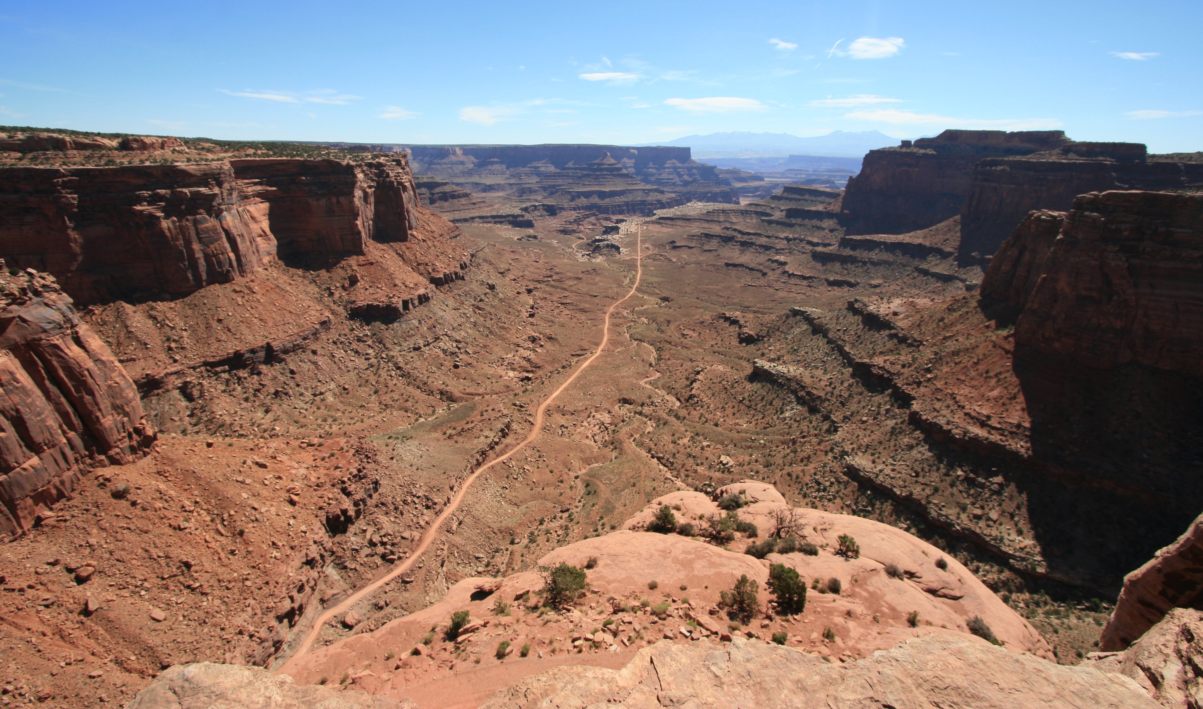
The Island in the Sky mesa rests on sheer sandstone cliffs over 1,000 feet above the surrounding terrain.
Every overlook offers a different perspective on Canyonlands� spectacular landscape.
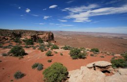
The Island is the easiest district to visit in a short period of time,
offering many pullouts with spectacular views along the paved scenic drive.
My afternoon adventure would give me a different perspective of both Dead Horse Point and Canyonlands.
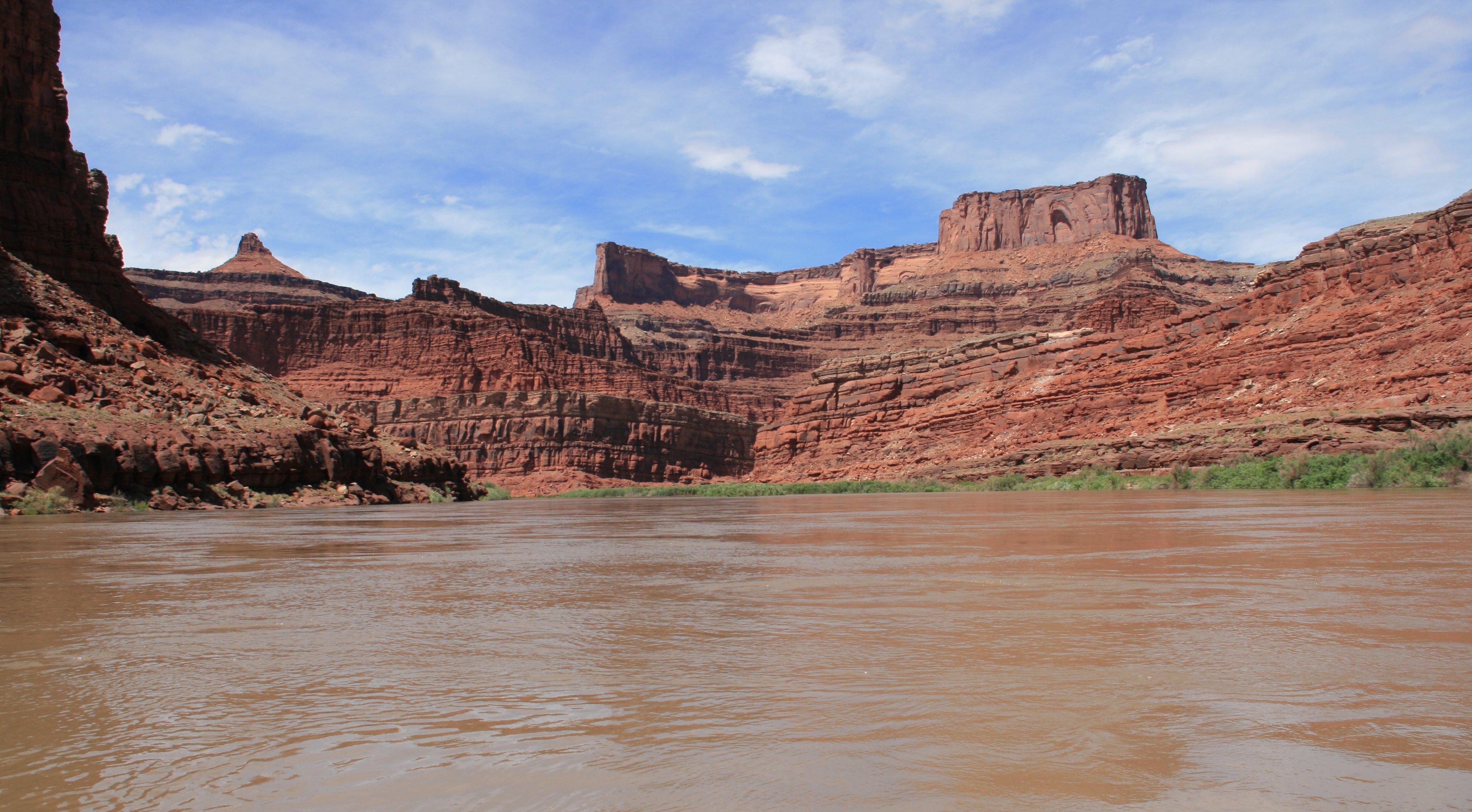
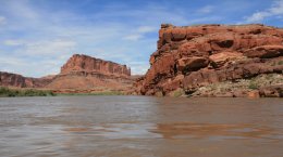
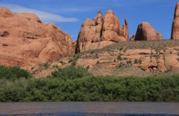
I took a jetboat trip on the Colorado River from Moab out to the Canyonlands area.
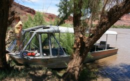
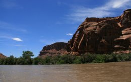
There was lots of Spectacular scenery along the way.
We passed a couple beautiful arches early in the trip.

Exploring the calm water sections down river from Moab,
the river reveals spectacular remote canyons of exquisite beauty.
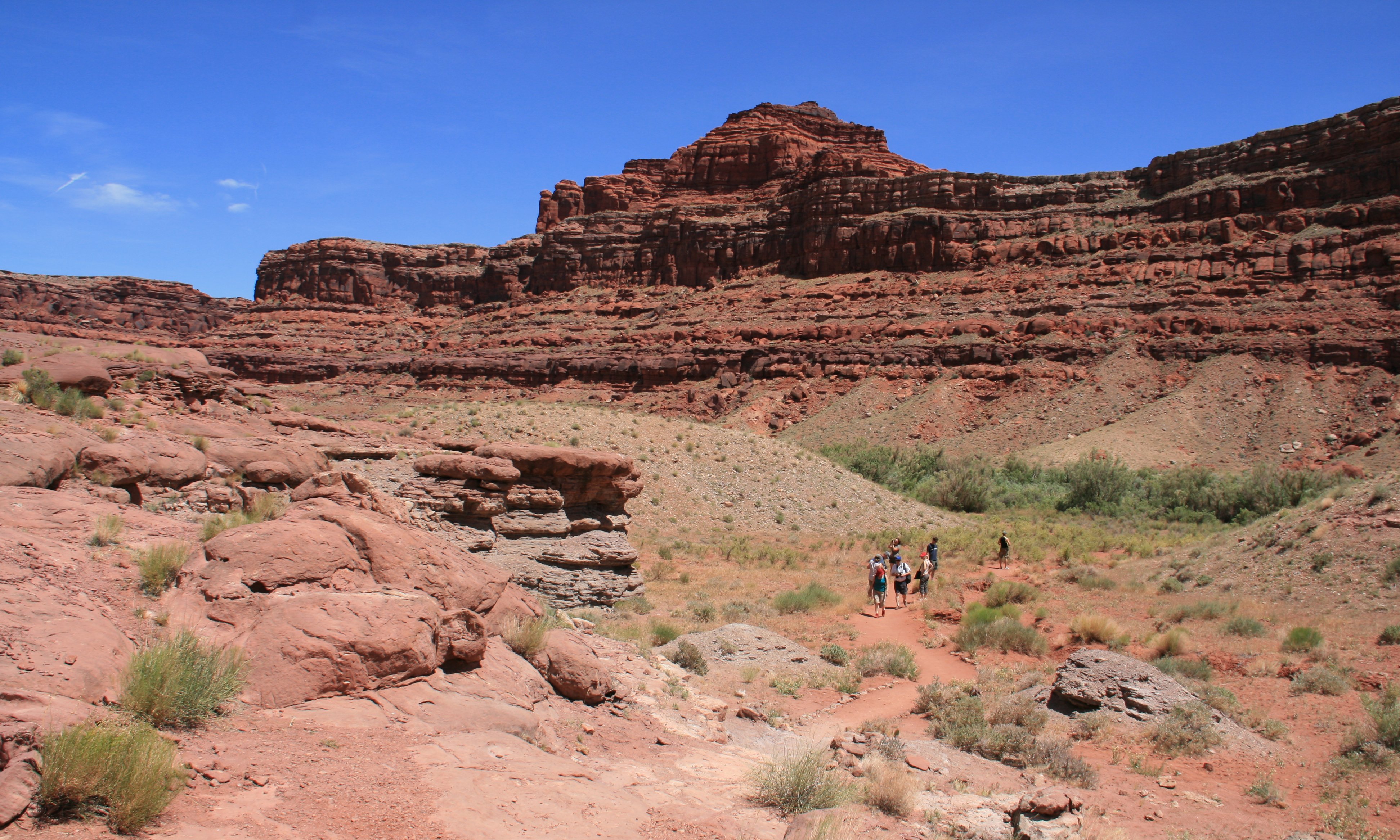
Midway through our trip we took a short nature hike to stretch our legs.
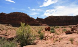
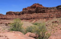
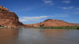
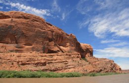
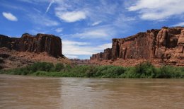
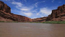
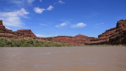
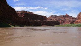
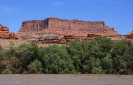
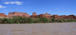
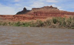
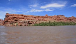
The two pictures on the left below are Dead Horse Point as seen from river level.
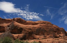
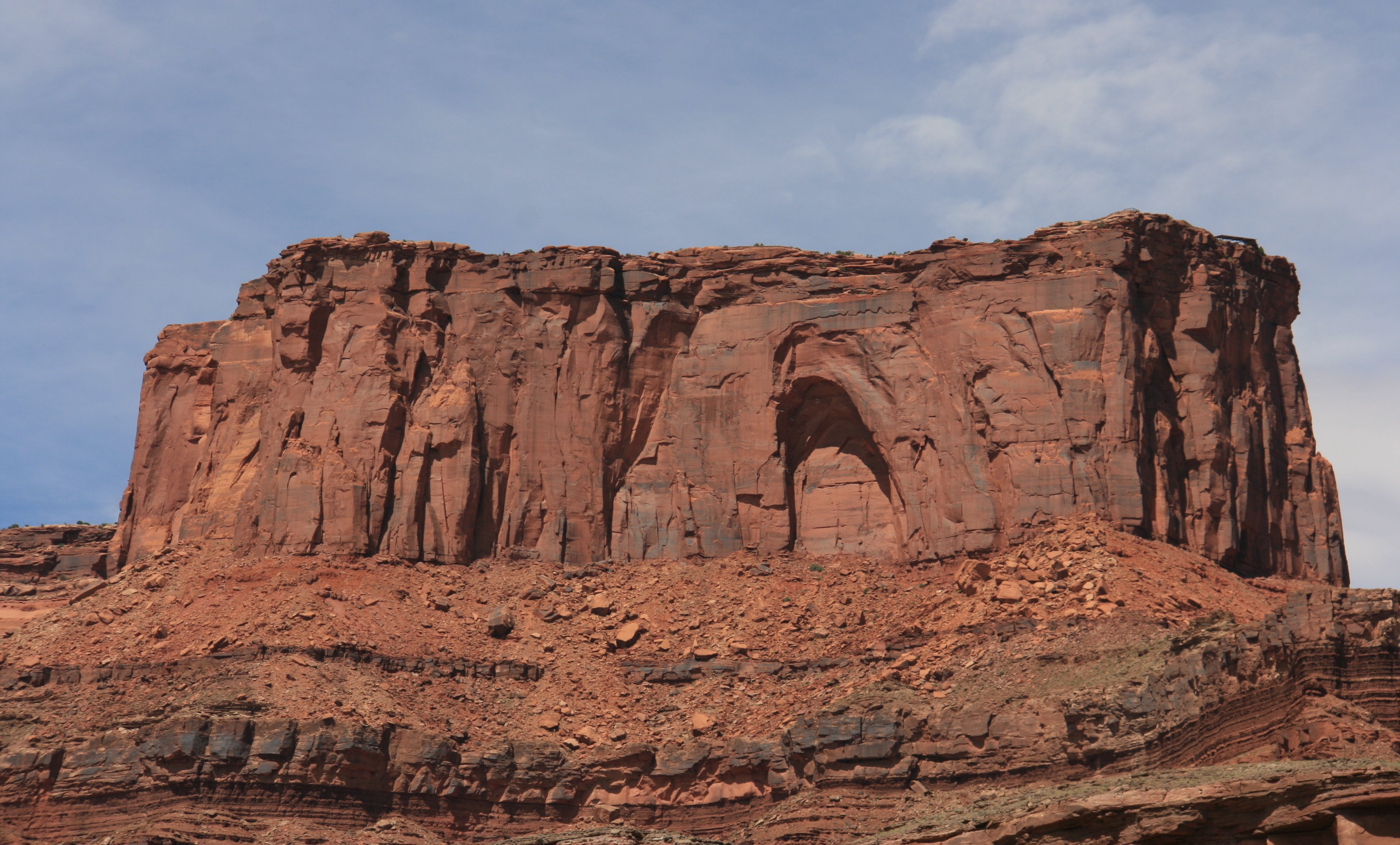
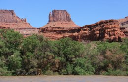
The pictures at the top of this page were taken from the top of the butte in the middle picture below.
Just past Dead Horse Point we enetered Canyonlands National Park.

It was at this point that we turned around and went back down the river and returned to Moab.
The jetboat journey lasted four hours and was great fun with outstanding scenery.
|
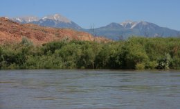
Howdy, Howdy! Was another beautiful day in Utah. I started my day by driving to my favorite place in the state, Dead Horse Point. That would be the Colorado River running through the canyon in the picture above. I will be jet boating down there later in the day. Dead Horse Point is very near the Island in the Sky district of Canyonlands National Park. That is where I went next. Below is Shafer Canyon in Canyonlands NP. Below is Grand View also in the park. Below you can see some desert plants in front of Grand View. I had just enough time to grab a quick lunch back in Moab before starting my 4-hour jet boat trip on the Colorado River. Below is an arch we saw in the canyon wall along the river. In the middle of the trip we got off the boat and took a little hike. Two hours into the boat trip we made it down to Dead Horse Point. This is the same place as the top picture but from the river level. Below is a close-up of where the overlook is at Dead Horse Point. The river trip was great fun and very scenic. Below is Canyonlands National Park, the Needles district from the river. This is the point we turned around and headed back the same way we came. I went back to Dead Horse Point after the cruise. When I was there this morning the sun was in the way looking east so I went back for a second look as the sun was beginning to set. You're probably tired of looking at rock now so I'll only enclose one more picture, also from Dead Horse Point. More adventures to come, so stay tuned. Tim |

Click on the arrow above to see tomorrow's adventures!
| TIM'S HOME PAGE SITE INDEX | |||
|---|---|---|---|
| Areas | Description | # of Pages | |
| About Me | Current Picture of me and my home. Information about myself. | 2 | |
| Biography | Pictorial biography of myself. Pictures range from birth to adulthood. | 4 | |
| Family File | Pictures of my family and a little information about them. | 12 | |
| Local Spotlight | Pictures, Links, and Information for Indianapolis, Richmond, Plainfield, and Mooresville, Indiana. | 6 | |
| Tim's Travels | Pictures, videos and travelogs from my travels around the world. | 409 | |
| Vacation Videos | Over 1500 videos from my travels around the world. | 1 | |