I would drive a total of 180 miles today.
All of the images below are thumbnails and can be clicked on for a larger image.
It was another beautiful day on Thursday.
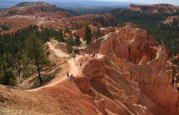
I spent the morning back in Bryce Canyon National Park visiting the places I missed yesterday.
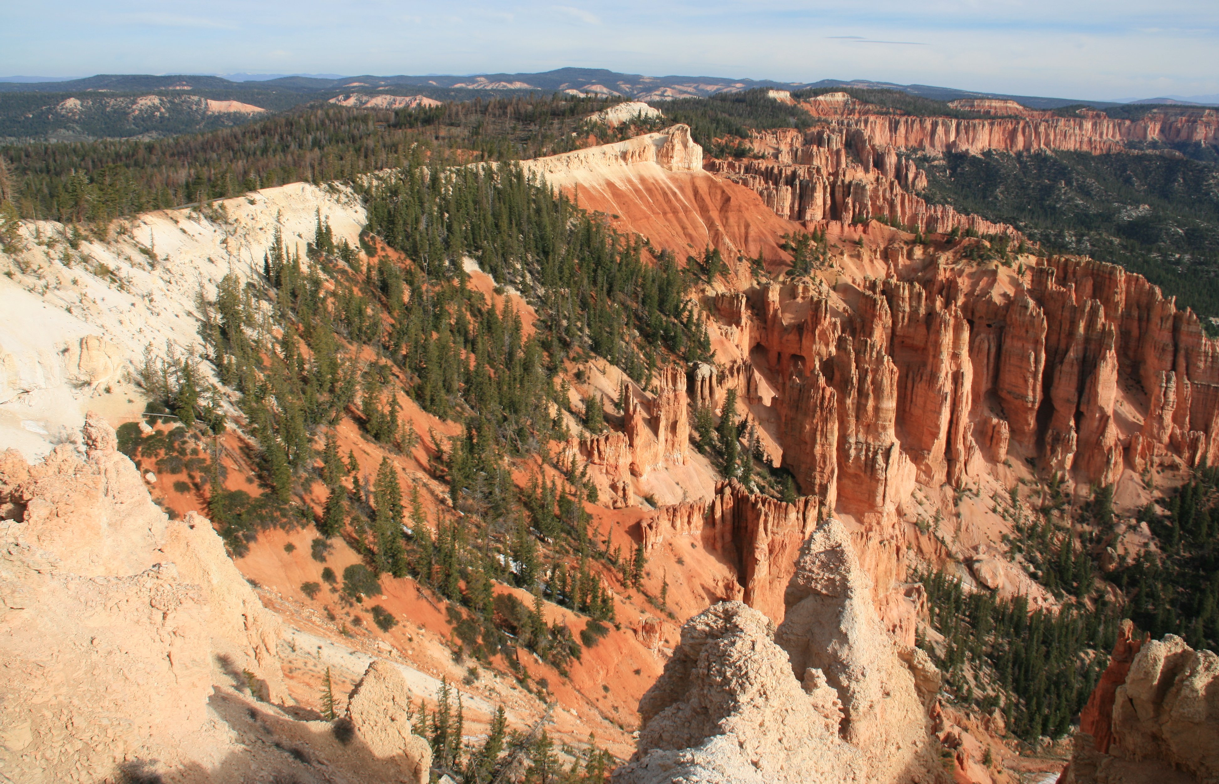
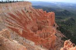
I drove directly to Rainbow Point at the southern end of the park.
Here the park stretches out before you back to the north.
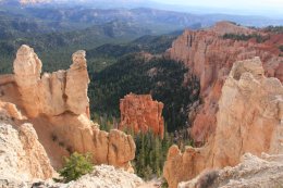
Directly across from Rainbow Point is Yovimpa Point.
Here you get a good look at the sequence of rock layers called the Grand Staircase.
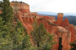
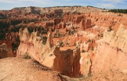
The middle picture below is Ponderosa Point.
Ponderosa Canyon is so named because of the huge Ponderosa Pines on the canyon floor.
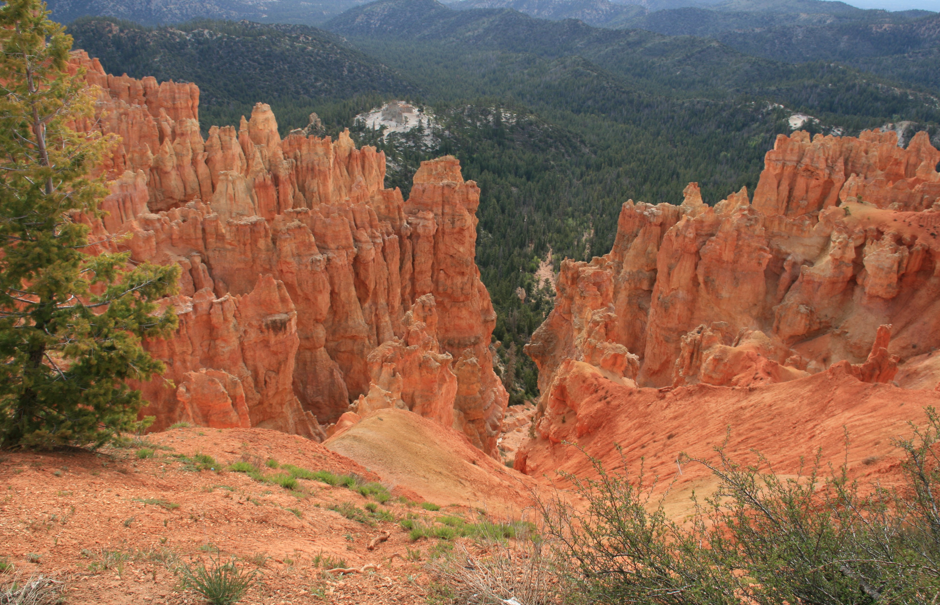
At Agua Canyon two prominent hoodoos command attention.
On the left, is the taller of the two towers, "The Hunter."
To the right is a hoodoo commonly referred to as the "Rabbit" or alternatively the "Backpacker."
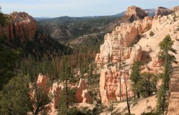
Though the name tends to be misleading, Natural Bridge is one of several natural
arches in Bryce Canyon and creates a beautiful scene at this viewpoint.
This arch, sculpted from some of the reddest rock of the Claron Formation, poses a stark contrast
to the dark green of the Ponderosa forest that peeks through the arch from the canyon below.
Farview Point is appropriately named, with spectacular views of landmarks that make up the Grand Staircase.
From north to south you can see: the Aquarius Plateau (Pink Cliffs), the Kaiparowits Plateau (Grey Cliffs),
Molly's Nipple (White Cliffs), and even glimpses of the Kaibab Plateau
on which lies the North Rim of the Grand Canyon.

The view to the northeast from Sunrise Point captures Boat Mesa and the Sinking Ship, set against the stark
Pink Cliffs of the Aquarius Plateau. Boat Mesa, capped by the resistant rock called "The Conglomerate at
Boat Mesa," rises above the hoodoos of Fairyland Canyon to an elevation of 8073 feet.

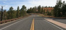
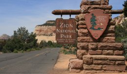
After finishing up at Bryce Canyon it was about a 60 mile drive to the east entrance to Zion National Park.
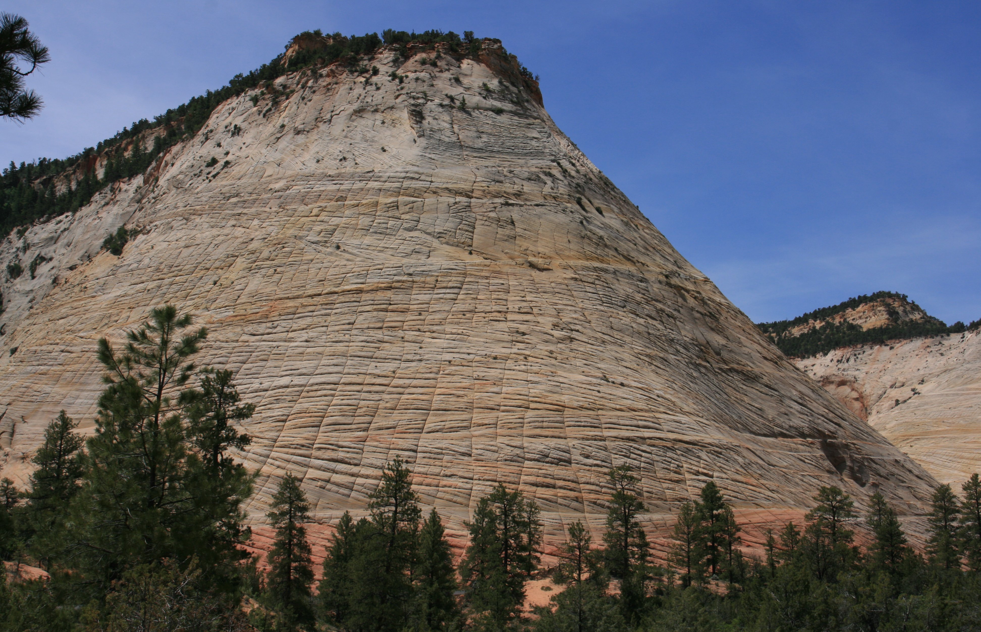
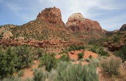
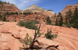
After entering the park the east entrance immediately reveals a colorful display of orange,
brown and white slickrock that includes one of the parks landmarks, Checkerboard Mesa.
The majestic criss-crossed mountain appears as a massive hill towering 900 feet
above the Zion-Mt. Carmel Highway and resembles a giant, extended chess or checkerboard.
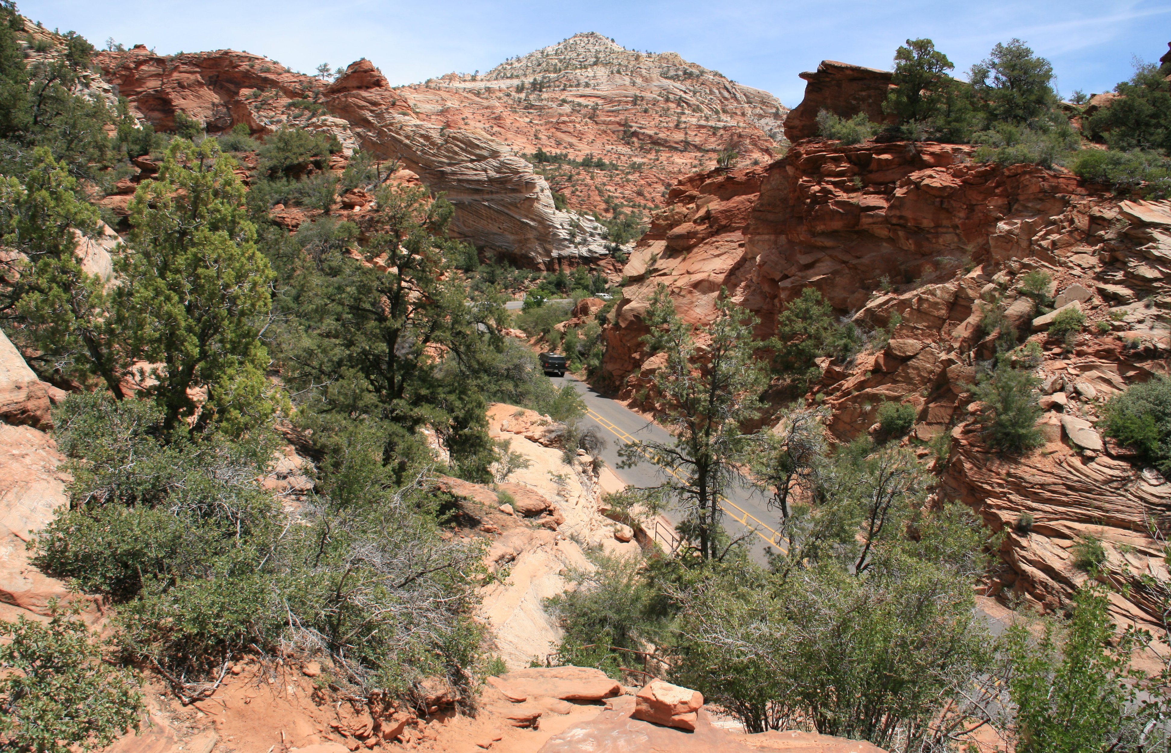
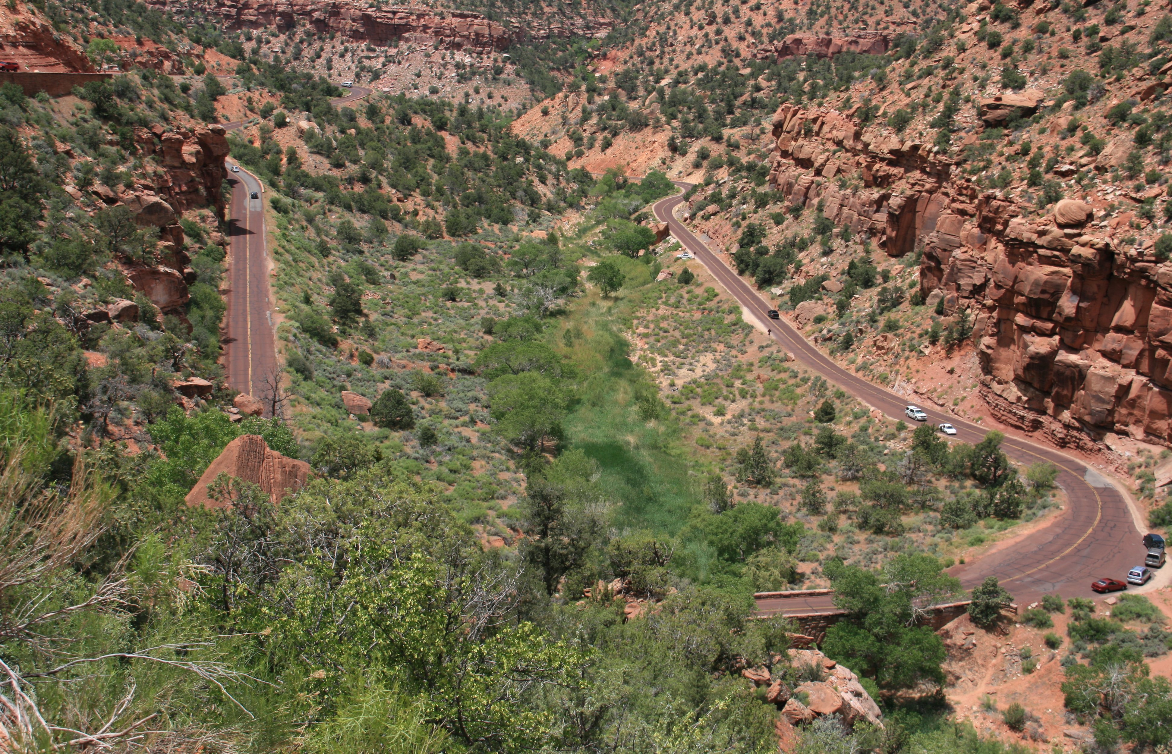
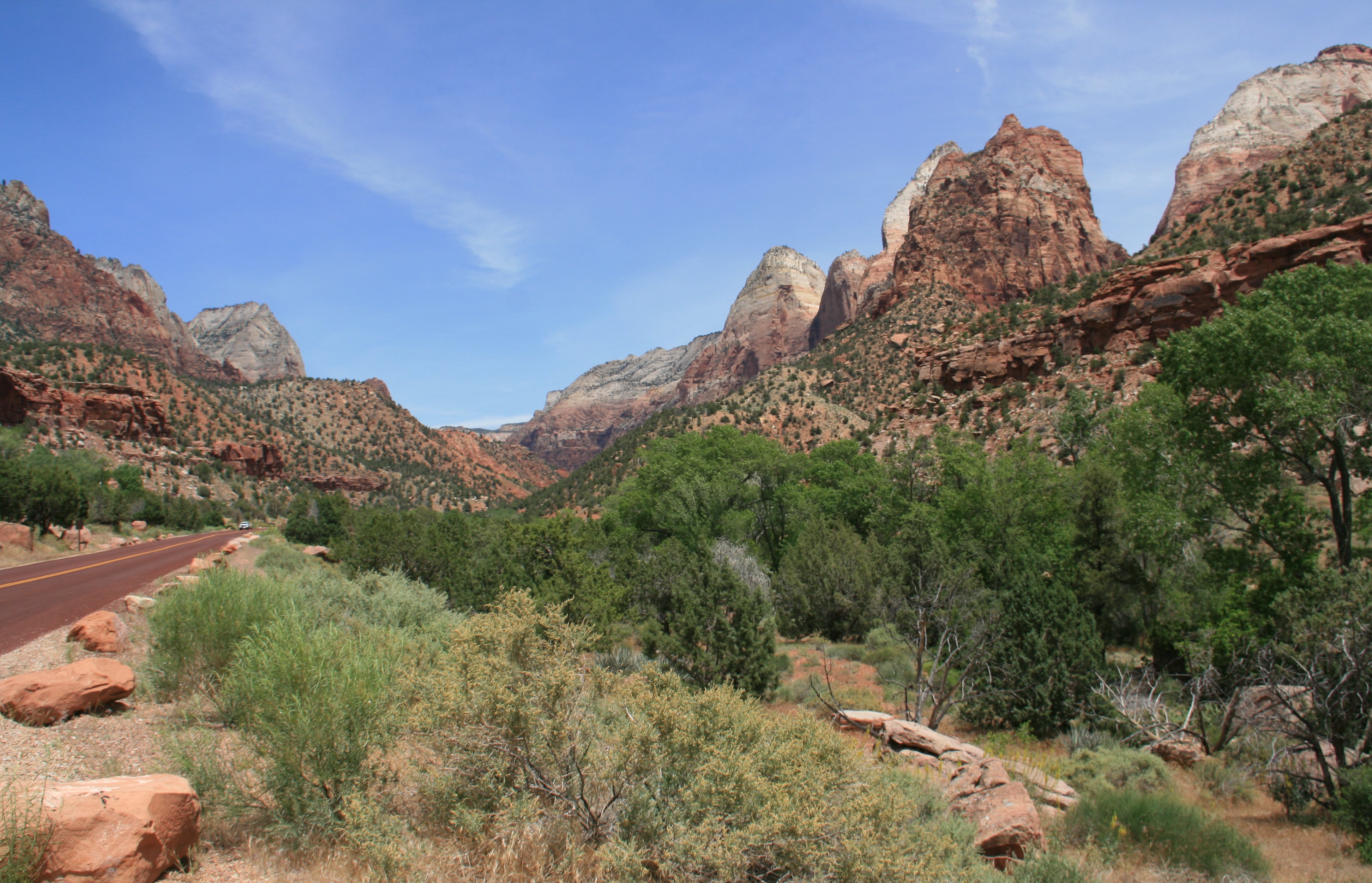
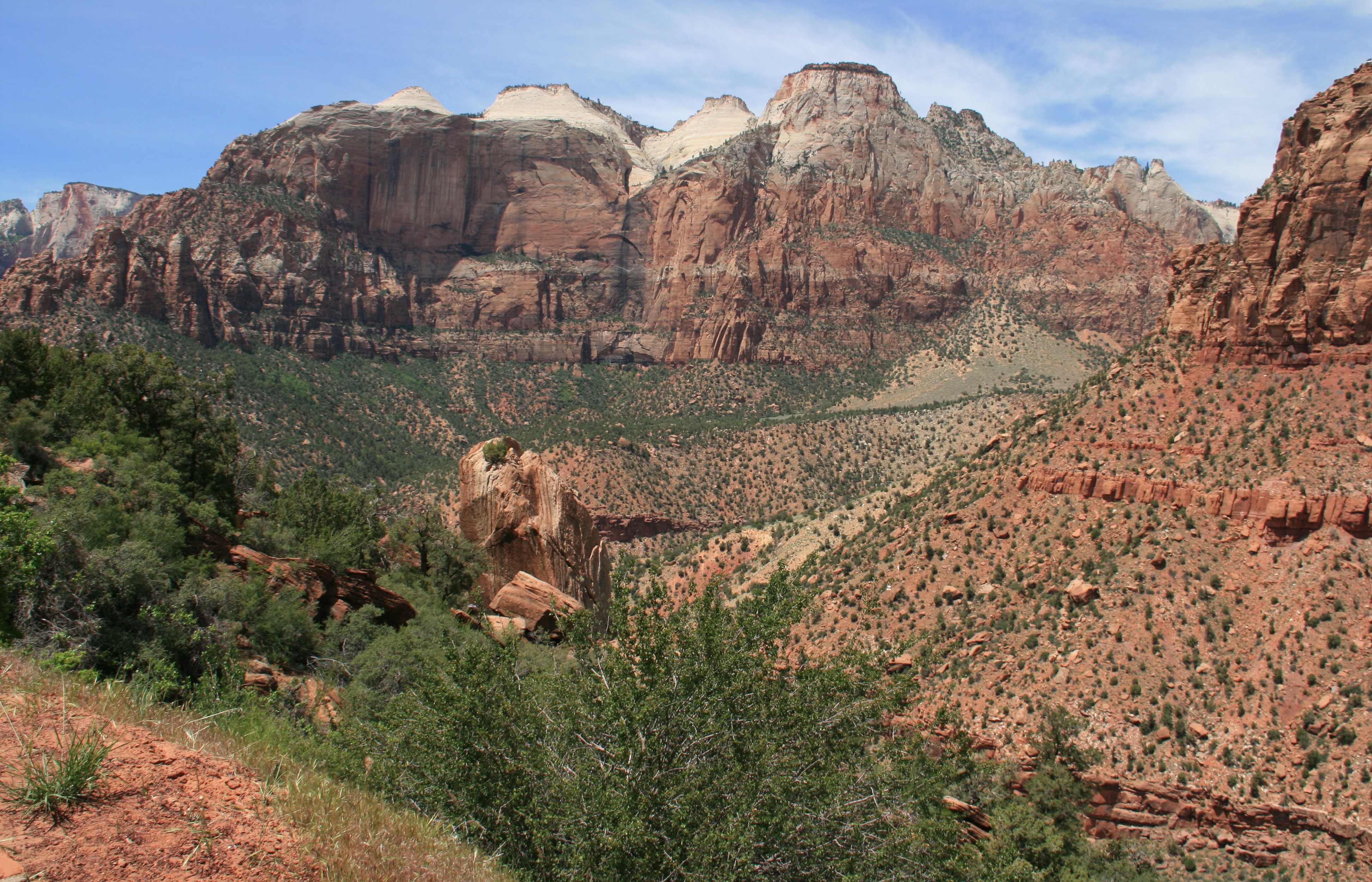
There are magnificent views of Zion Canyon as you travel down the switchbacks to the floor of the canyon.
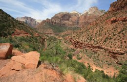
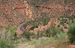
Zion is Utah's oldest national park. The park is known for its incredible canyons.
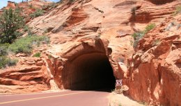
The Zion-Mt. Carmel Tunnel, divides the park with the red colored rock on one side and the patterned
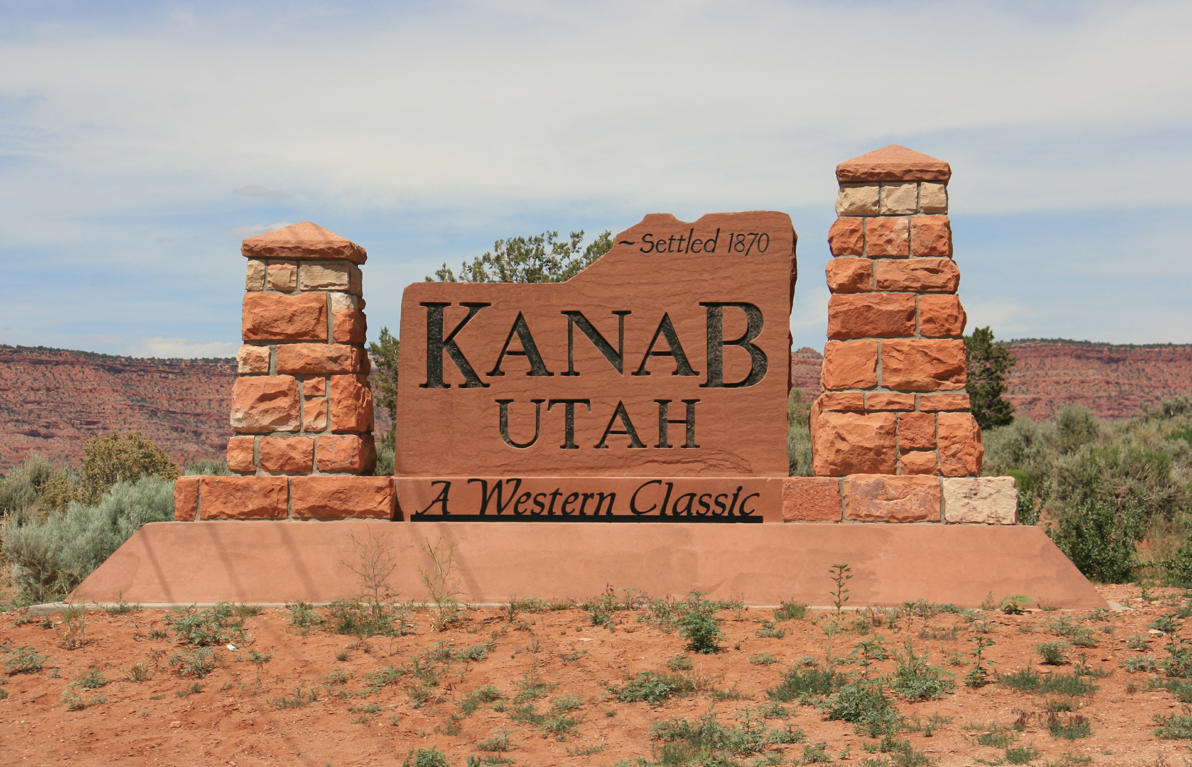
white slick rock on the other. I ended my day in Kanab, Utah about a mile north of the Arizona border.
The two minute video below takes a look at my accommodations. |
|
Howdy Folks, Spent this morning seeing the parts of Bryce Canyon that I didn't get to see yesterday when it got dark. The picture below in Rainbow Point. Below is Ponderosa Point. Ponderosa Canyon is so named because of the huge Ponderosa Pines on the canyon floor. Natural Bridge is one of several natural arches in Bryce Canyon and creates a beautiful scene at the viewpoint below. It was another day of beautiful weather. I spent about three hours in the park before heading down the road. Below is my final picture of Bryce from Sunrise Point. It was only about an hours drive to my next national park, Zion. The first thing I saw was the Checkerboard Mesa. Got a little warm mid afternoon but the clear blue skies were nice. In the picture below you can see the switchbacks the park is famous for. Zion is a relatively small park comparatively speaking. But it has always been one of my favorites. This is my third time here and the only time I was able to get in and out without having car trouble. I was able to end my day a little early today. I was only able to squeeze in about 5 hours of sleep the past two nights. Got to my hotel here in Kanab, Utah shortly before 4:00. I don't think there is a lot of night life here in Kanab so I should be able to get a few extra winks tonight. Kanab is about one mile north of the Arizona border. Bye for now, Tim |

Click on the arrow above to see tomorrow's adventures!
| TIM'S HOME PAGE SITE INDEX | |||
|---|---|---|---|
| Areas | Description | # of Pages | |
| About Me | Current Picture of me and my home. Information about myself. | 2 | |
| Biography | Pictorial biography of myself. Pictures range from birth to adulthood. | 4 | |
| Family File | Pictures of my family and a little information about them. | 12 | |
| Local Spotlight | Pictures, Links, and Information for Indianapolis, Richmond, Plainfield, and Mooresville, Indiana. | 6 | |
| Tim's Travels | Pictures, videos and travelogs from my travels around the world. | 409 | |
| Vacation Videos | Over 1500 videos from my travels around the world. | 1 | |