(Utah Flag)
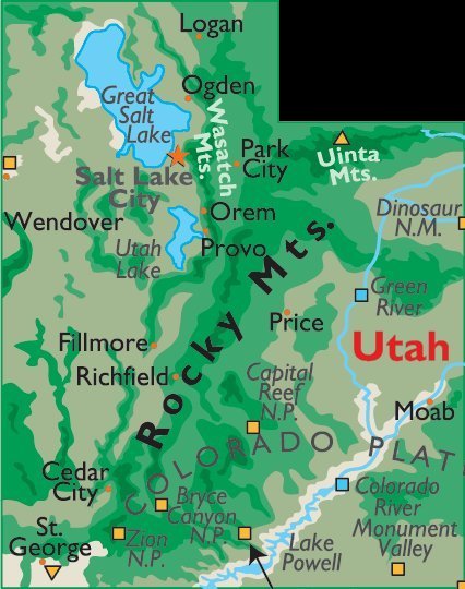
(Utah Map)
All of the images below are thumbnails and can be clicked on for a larger image.
TUESDAY, JUNE 1, 2010:
I had a 7:00AM flight out of the Indianapolis International Airport to Denver.
After a two hour layover in Denver it was a quick 30 minute flight to Grand Junction, Colorado.
Next shown is takeoff from Denver with view of the Denver skyline. There are some views of the Rocky Mountains before the video concludes with the Grand Junction landing. |
I arrived in Grand Junction at 11:00AM local time.
I grabbed a quick lunch and bought some groceries and then hit the road.
I would drive a total of 225 miles today.

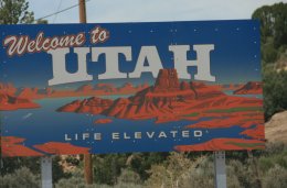
After about a 30 minute drive on I-70 I crossed into Utah where I would be spending most of the trip.
I exited I-70 onto scenic State Road #24. I wouldn't see an Interstate again for two weeks.
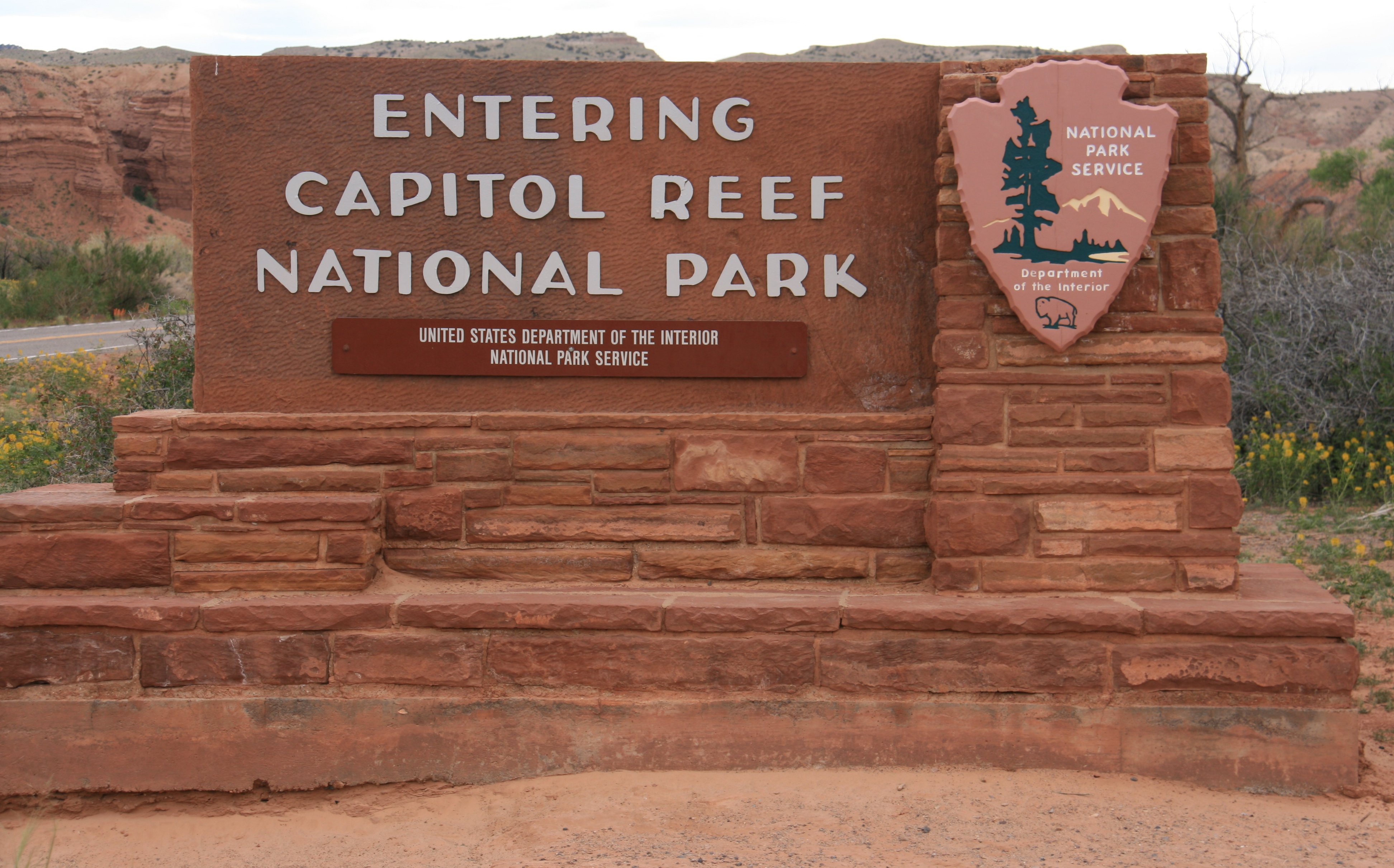
It was a 175 mile drive from Grand Junction to the entrance to Capitol Reef National Park.
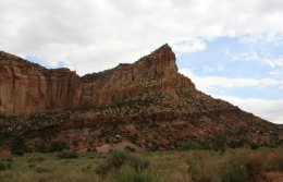
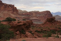
Capitol Reef is one of the jewels of Utah, thanks to its unmatched geological variety, fantastic scenery,
surprisingly rich vegetation and lack of crowds. This extraordinary park is often overlooked by visitors
to the Southwest and isn't heavily frequented. This may be due to its geographic location,
which makes it less accessible than its better-known neighbors of Bryce and Arches.
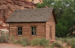
The center picture below is Capitol Dome. On the right is the old Fruita Schoolhouse.
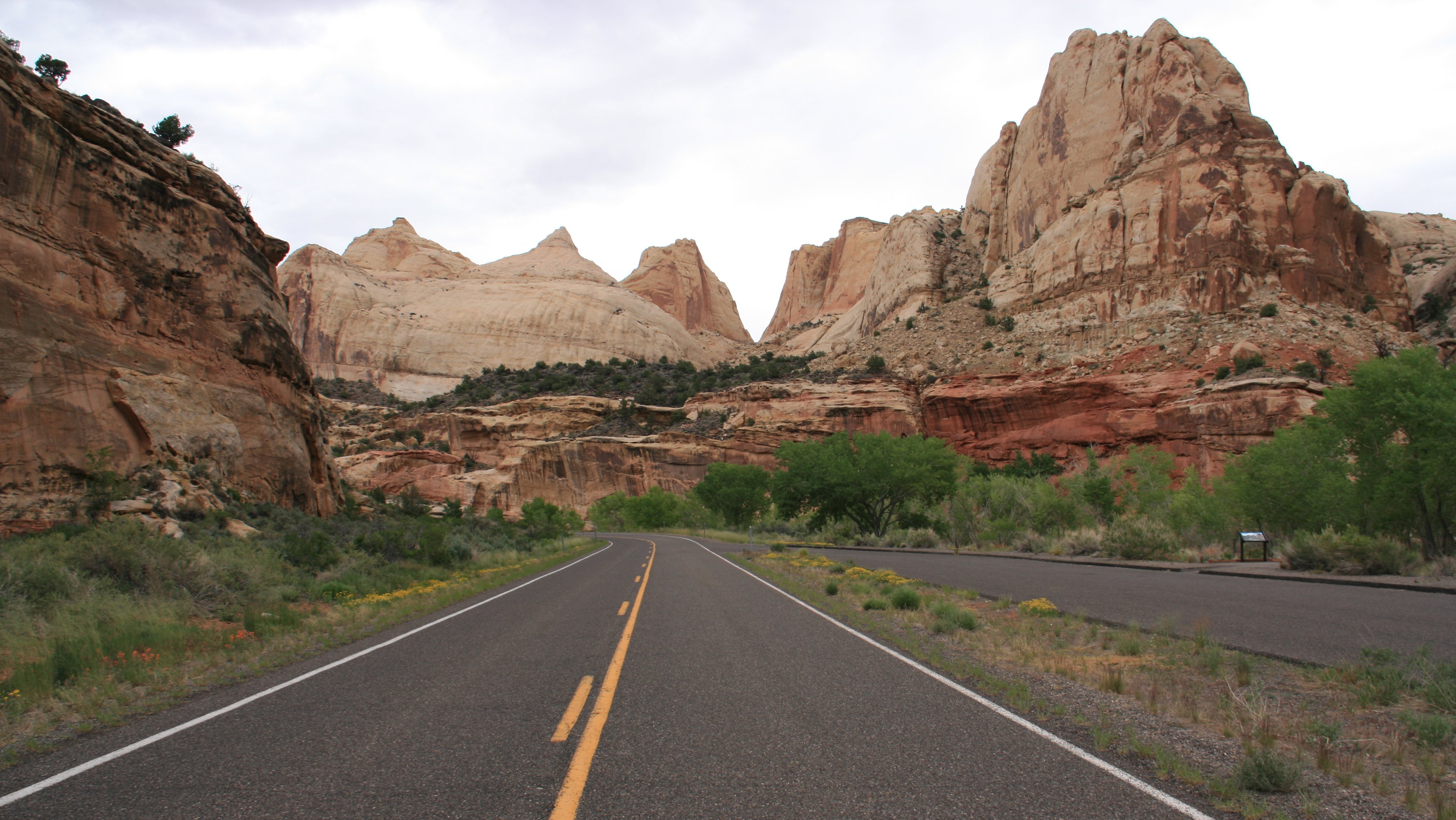
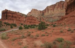
A road called the Scenic Drive winds through the heart of Capitol Reef National Park,
allowing visitors to see many of the park's famous formations.
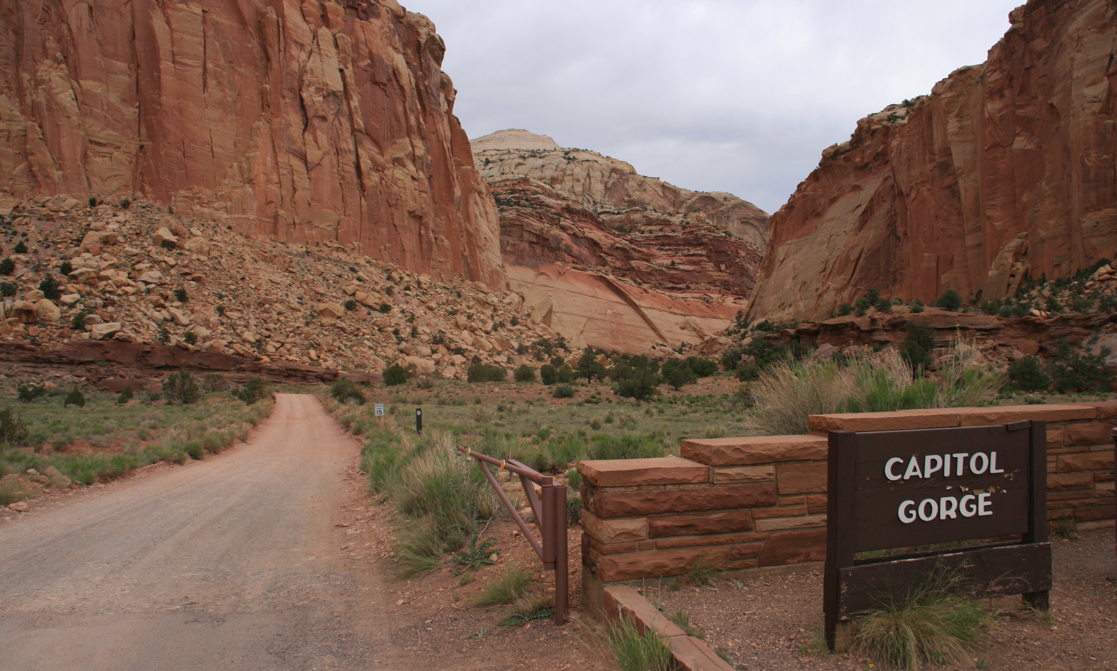
The end of the paved road marks the official end of the Scenic Drive,
but an unpaved spur continues for two miles and provides access into Capitol Gorge.


The beautiful formation called The Castle can be veiwed from Highway 24 near the Visitor Center.
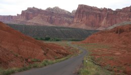
The impressive cliffs become even more spectacular during the golden hour, mornings and evenings.
Among the formations at the base of the cliffs are Chimney Rock and the Castle.
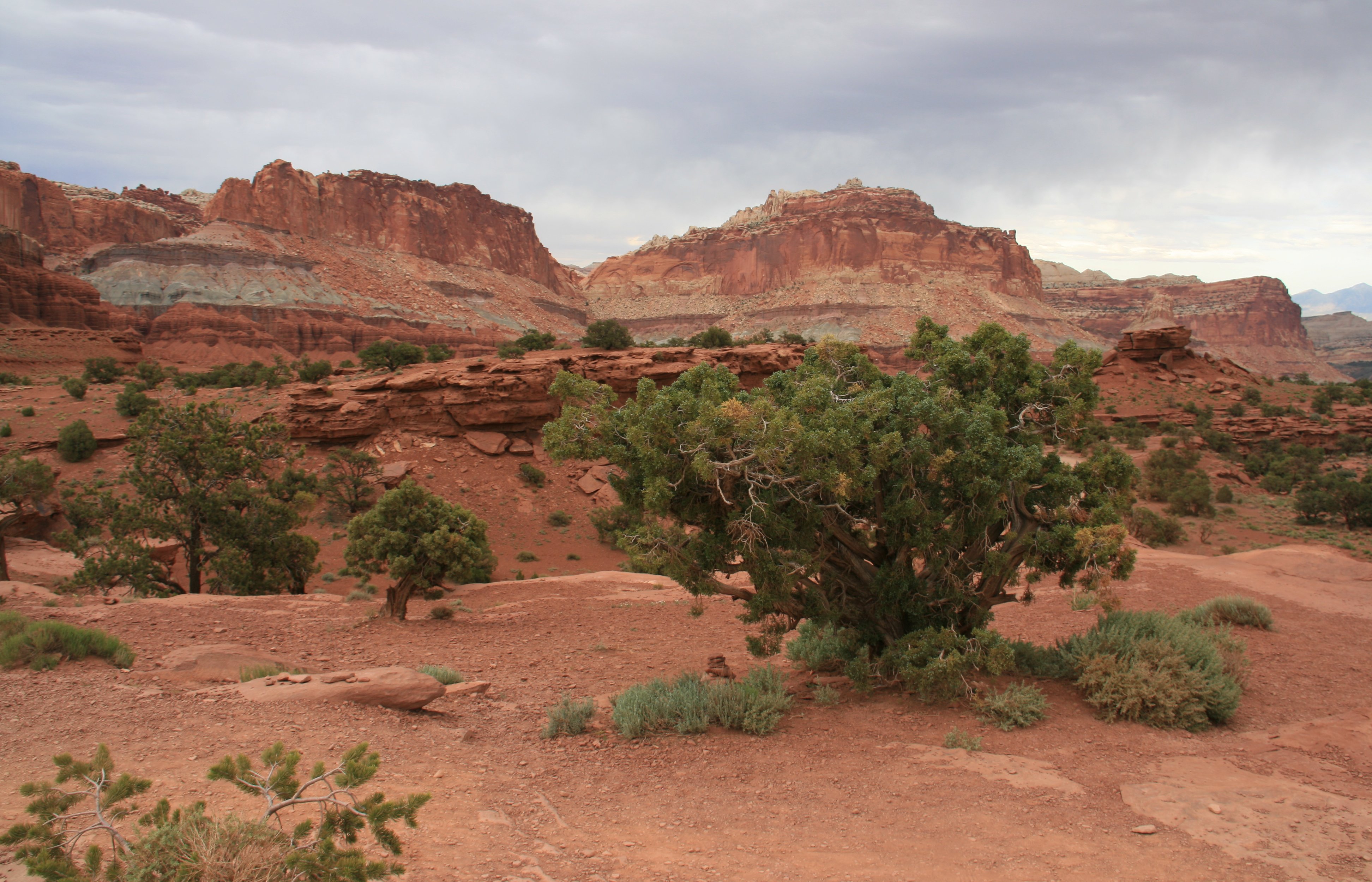
One of the best spots to photograph this area is Panorama Point, located almost 4 miles past the west entrance
and 2� miles west of the Visitor Center. From this promontory, you get a splendid panoramic view of
the western part of the park with Capitol Dome, the Castle and the Henry Mountains in the distance.
A sign claims that this spot is the least polluted in the United States.
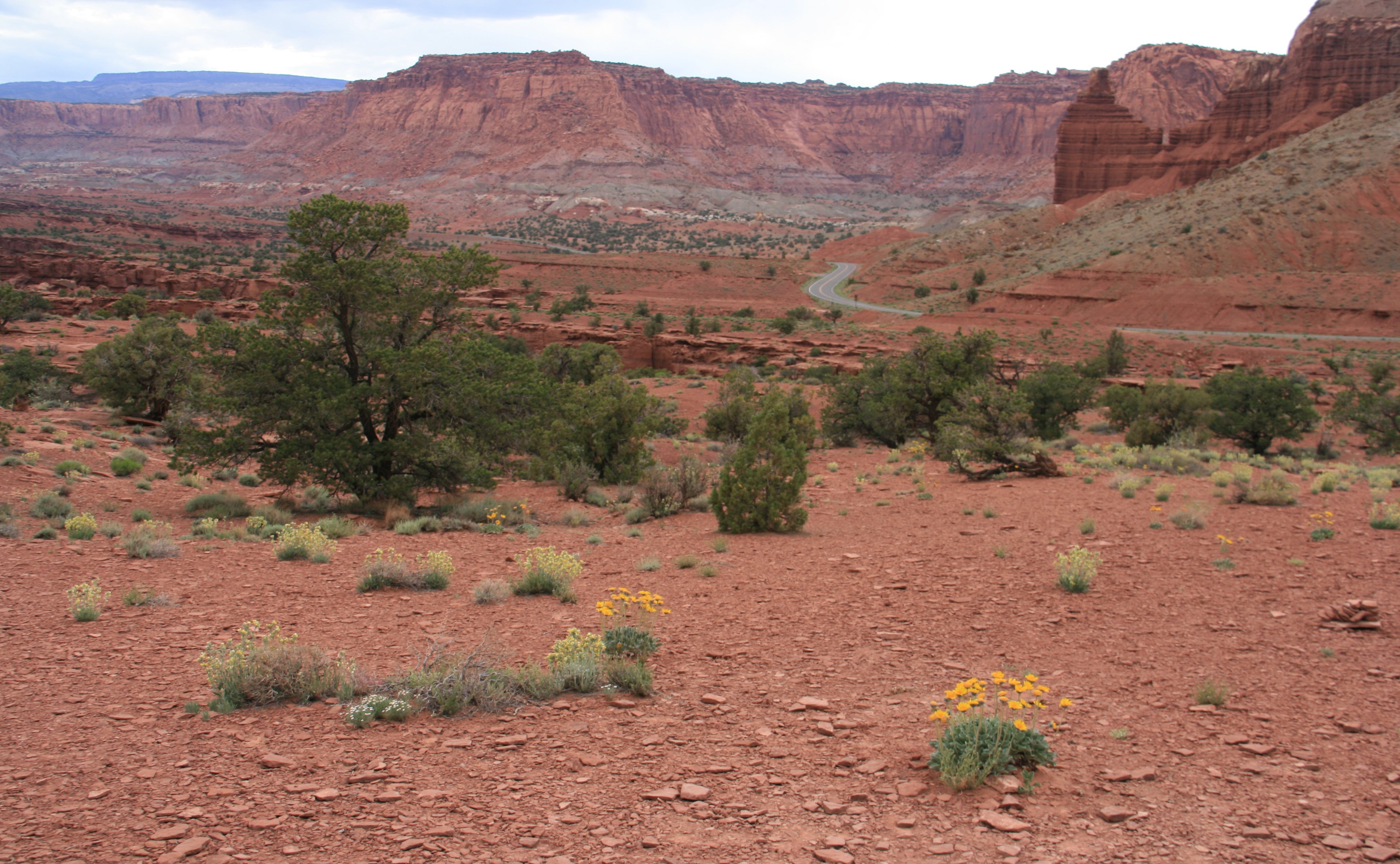
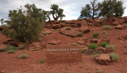
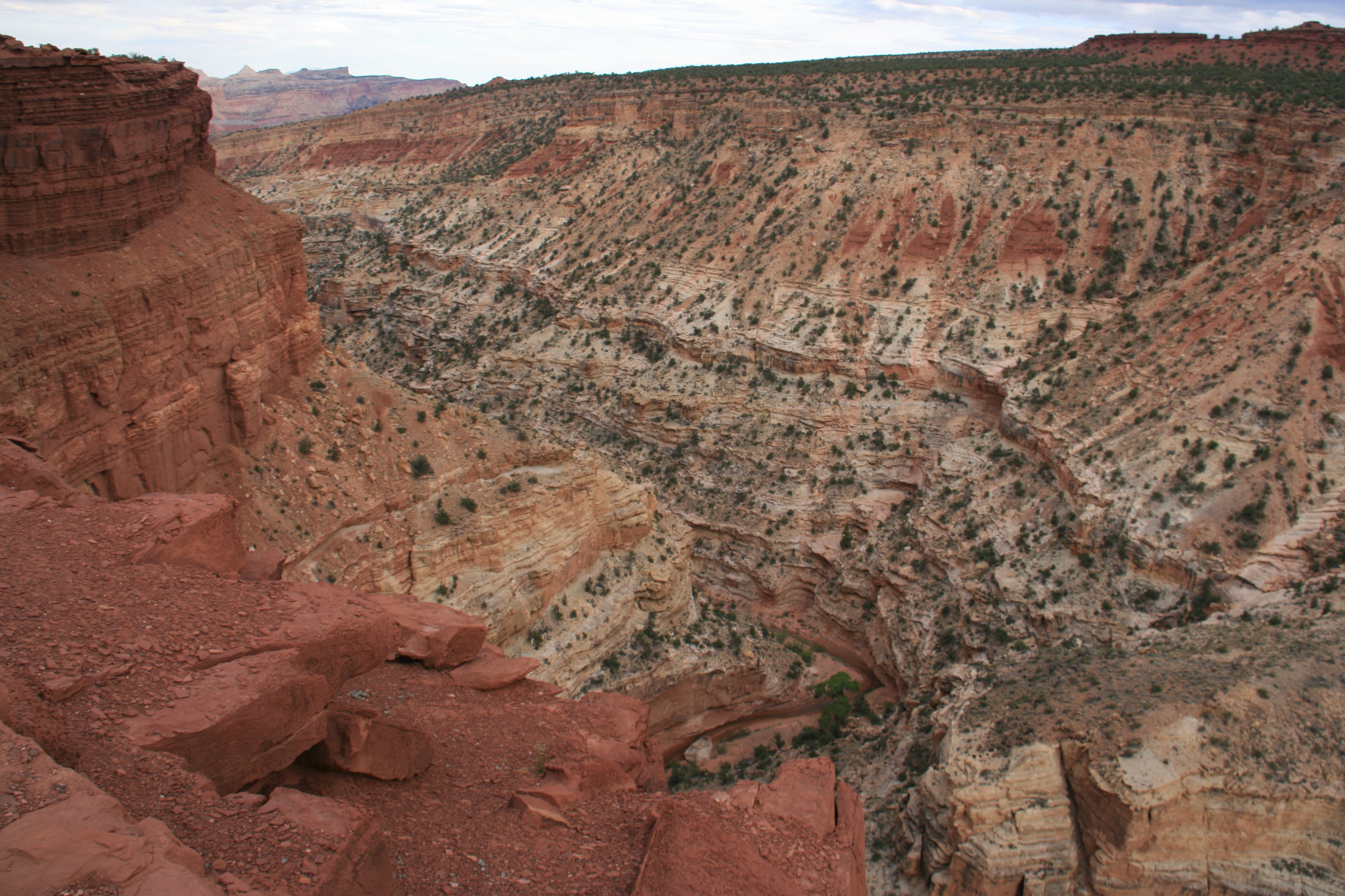
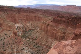
About a mile from Panorama Point via a dirt road is Goosenecks Point.
I saw as much of the park as I could before darkness fell.
I wanted to hike to Hickman Bridge but ran out of daylight.
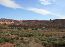
I spent the night just outside the small town of Torrey, Utah near the west entrance to the park.
The Best Western Capitol Reef Resort is a nice motel with nice views of the cliffs from the room balcony.
|
Hello Everybody, I am traveling again. Nothing exotic like last year. I'm National Park hopping in Utah and Arizona. My first stop is Capitol Reef National Park in central Utah. I have never been to this park before. It is very remote. I didn't get here until late this afternoon. I flew to Grand Junction, Colorado this morning and then it was about a 200 mile drive from there. I spent a couple of hours exploring the Capitol Gorge area of the park which you can see in the pictures below. The picture below is Panorama Point. Below is Goosenecks Overlook. I'm staying in the small town of Torrey right outside the park. There's nothing here except three or four motels. There is a very nice view from the balcony in my room. Similar to the picture below which was taken a couple of miles from here. That's all for today. Long day with having to get up at 4am and the two hour time change. I'm ready to hit the hay. Will write more soon. Tim |

Click on the arrow above to see tomorrow's adventures!
| TIM'S HOME PAGE SITE INDEX | |||
|---|---|---|---|
| Areas | Description | # of Pages | |
| About Me | Current Picture of me and my home. Information about myself. | 2 | |
| Biography | Pictorial biography of myself. Pictures range from birth to adulthood. | 4 | |
| Family File | Pictures of my family and a little information about them. | 12 | |
| Local Spotlight | Pictures, Links, and Information for Indianapolis, Richmond, Plainfield, and Mooresville, Indiana. | 6 | |
| Tim's Travels | Pictures, videos and travelogs from my travels around the world. | 409 | |
| Vacation Videos | Over 1500 videos from my travels around the world. | 1 | |